Gods Eye Drone Blog
Gods Eye Drone is a veteran-owned, full-service drone company providing high-quality aerial photography, videography, and specialized inspection services. Utilizing state-of-the-art technology, including advanced FLIR equipment, we deliver precise results for real estate, agriculture, weddings, and critical search and rescue operations. Our certified pilots are dedicated to providing a higher perspective and unmatched aerial intelligence for every project. Whether you need detailed infrastructure inspections or professional event coverage, we are committed to excellence and delivering results that matter.
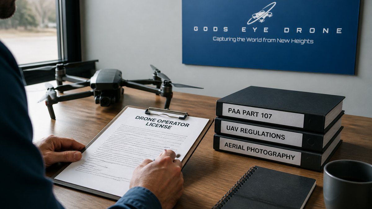
Commercial Drone Photography Licensing: A Step-by-Step Guide
Get your commercial drone photography license and learn FAA Part 107 requirements, eligibility criteria, and application steps to fly legally for profit.
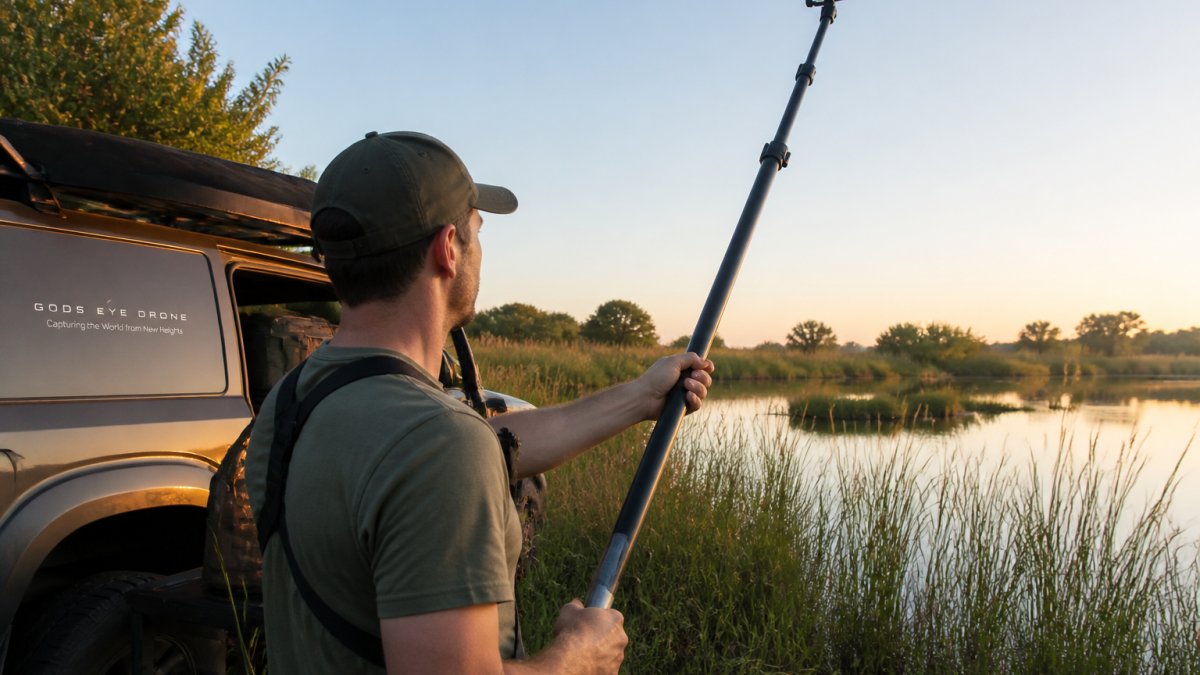
Telescopic Pole Camera for Wildlife Observation: Setup Guide
Telescopic pole camera wildlife: Learn how to set up and use a telescopic pole camera for wildlife observation.
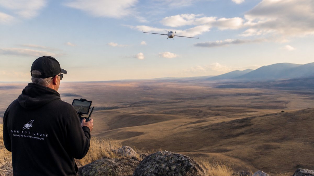
Pseudo-Satellite Persistent Surveillance Applications
Pseudo-satellite persistent surveillance: Explore how high-altitude pseudo-satellites enable persistent surveillance for defense, disaster response

Manned Aircraft Aerial Photography Cost: Complete Pricing Guide
Understand manned aircraft aerial photography costs, hourly rates, and how they compare to drone services.
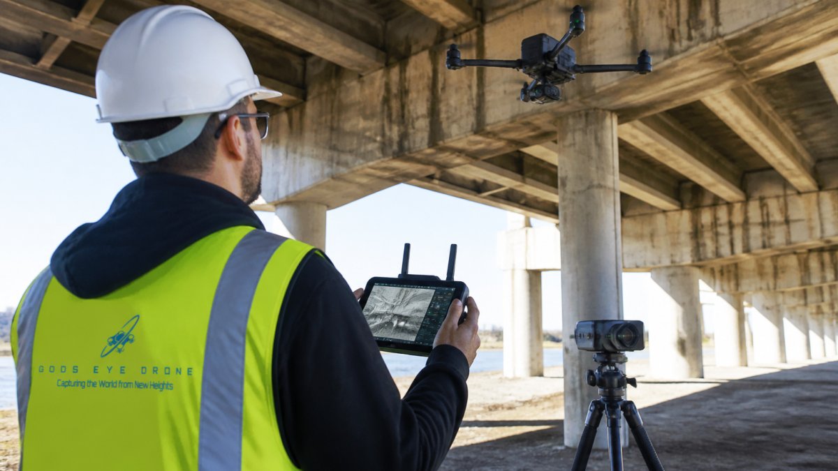
Advanced Sensor Technology for Infrastructure Inspection
Advanced sensor technology for infrastructure inspection: Learn how advanced sensor technology transforms infrastructure inspection.
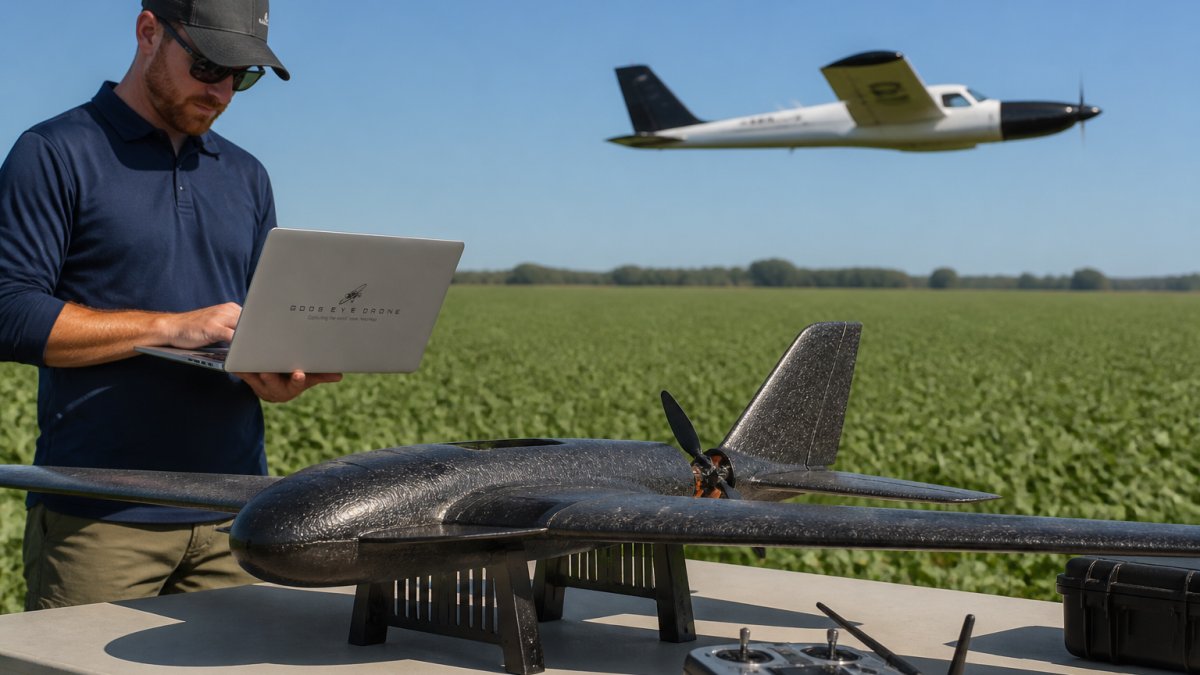
Fixed-Wing Aircraft for Agricultural Mapping: A 2026 Guide
Fixed-wing aircraft for agricultural mapping: Fixed-wing aircraft deliver wide-area crop monitoring, precision georeferencing, and long endurance for farm
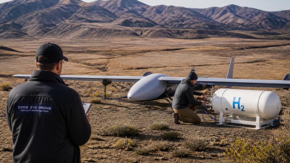
Hydrogen-Powered HAPS for Remote Sensing: 2026 Guide
Explore hydrogen-powered HAPS technology for remote sensing.
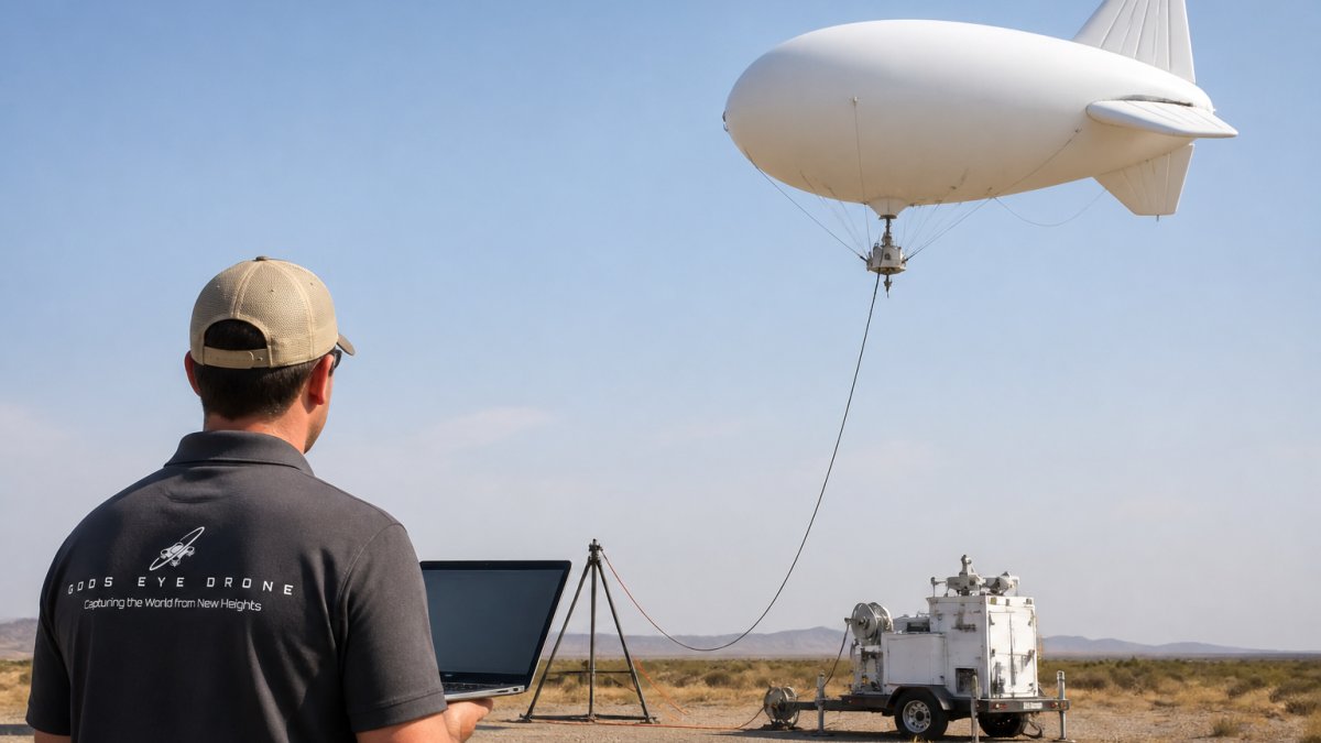
Tethered Aerostat Communication Relay Benefits
Explore how tethered aerostat communication relay systems deliver persistent surveillance, rapid deployment, and network restoration for emergency
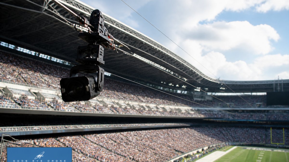
Cable Camera Systems for Stadium Events: A 2026 Guide
Learn how cable camera systems work for live sports and stadium events. Technical specs, rigging, safety, and broadcast integration explained.
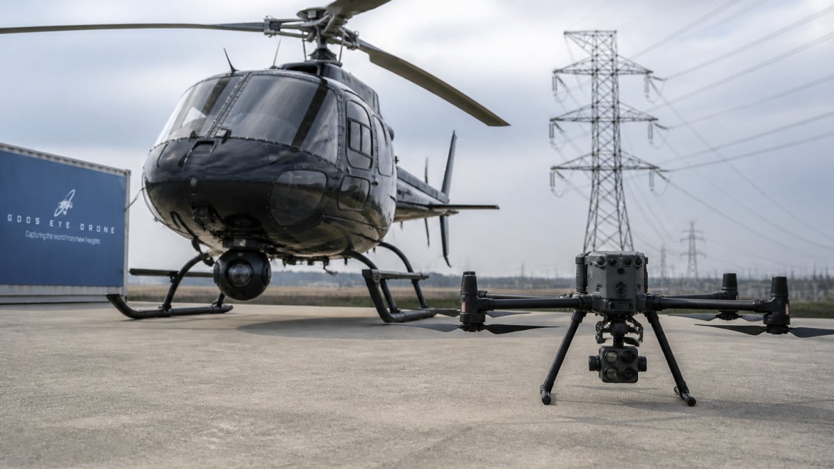
Helicopter vs Drone Power Line Inspection
Helicopter vs drone power line inspection: Compare helicopter and drone power line inspections. Learn costs, safety, regulatory requirements, and when.
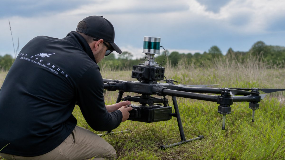
LiDAR Sensor Integration for Environmental Monitoring
LiDAR sensor integration for environmental monitoring: Learn how LiDAR sensor integration transforms environmental monitoring. Explore drone mapping, data.

Drone Photography Pricing: A 2026 Guide
Understand drone photography pricing factors, service packages, and what affects cost. Learn what to expect from professional aerial imagery.