 how-to
Manned Aircraft Aerial Photography Cost: Complete Pricing Guide
Table of Contents
- How Manned Aircraft Aerial Photography Pricing Works
- Aerial Photography Hourly Rates for Piloted Aircraft
- Key Aerial Photography Cost Factors That Affect Your Quote
- Drone vs. Manned Aircraft Photography: Cost and Use-Case Comparison
- Getting an Accurate Aerial Photography Quote
- Real Estate and Commercial Aerial Photography Packages
- Frequently Asked Questions
Last Updated: October 6, 2026
How Manned Aircraft Aerial Photography Pricing Works
Manned aircraft aerial photography cost depends on several interconnected factors. Unlike drones, which face strict regulatory limits and short flight times, piloted aircraft cover expansive areas at higher altitudes, unmatched on large-scale projects.
Pricing centers on hourly rates, but total cost also includes aircraft, certified pilot, fuel, positioning fees, and post-production. Knowing how these stack helps you evaluate quotes accurately.
Aerial Photography Hourly Rates for Piloted Aircraft
Hourly rates for manned aircraft aerial photography cost are the core expense but don't tell the complete story.
Most operators quote in hourly increments with minimum booking requirements. A two-hour minimum is common, so even a 45-minute shoot costs two full hours.
The hourly structure exists because pilots account for positioning, travel, pre-flight checks, and return to base. A one-hour flight might require three hours of total pilot time.
Key Aerial Photography Cost Factors That Affect Your Quote
Property Size and Coverage Area
Larger properties require longer flight times and more passes. A residential property might need 30 minutes; a 500-acre farm or commercial development could require two to three hours.
The relationship between size and flight time isn't linear.
Coverage area also determines whether manned aircraft makes economic sense. Under five acres, drone photography typically delivers better value. Properties exceeding 50 acres, especially irregular shapes or those needing very high-altitude perspective, favor manned aircraft.
Shoot Complexity and Flight Time
A straightforward documentation flight at consistent altitude costs less than complex work.
Weather affects complexity significantly. Clear conditions allow efficient shooting; overcast skies, wind, or haze may require additional flight time. Some operators include weather contingencies in quotes; others reschedule.
Complexity also encompasses deliverables. Raw footage costs less than edited video; a finished product with color correction, stabilization, and music adds post-production hours to your total cost.
Travel Time and Location
Geographic location directly impacts your manned aircraft aerial photography cost. Nearby operators charge less for positioning than those traveling far.
Regional variations follow local aviation infrastructure. Areas with multiple small airports and established aerial photography services offer more competitive pricing; remote locations with limited aviation options command premium rates.
Some operators charge travel fees by mileage or time; others build positioning into the hourly rate. Understanding this structure helps you compare quotes accurately.
Deliverables and Image Editing
The format and processing of final deliverables significantly affect total cost. Raw, unedited stills or footage represent the base price; professional color correction, stabilization, and editing add substantial cost.
Video editing ranges from basic cuts to cinematic productions with music, graphics, and effects.
Usage rights also factor into pricing. Unlimited commercial licenses cost more than single-use or limited-use rights. Some operators charge separately for licensing; others include it in the project fee.
Drone vs. Manned Aircraft Photography: Cost and Use-Case Comparison
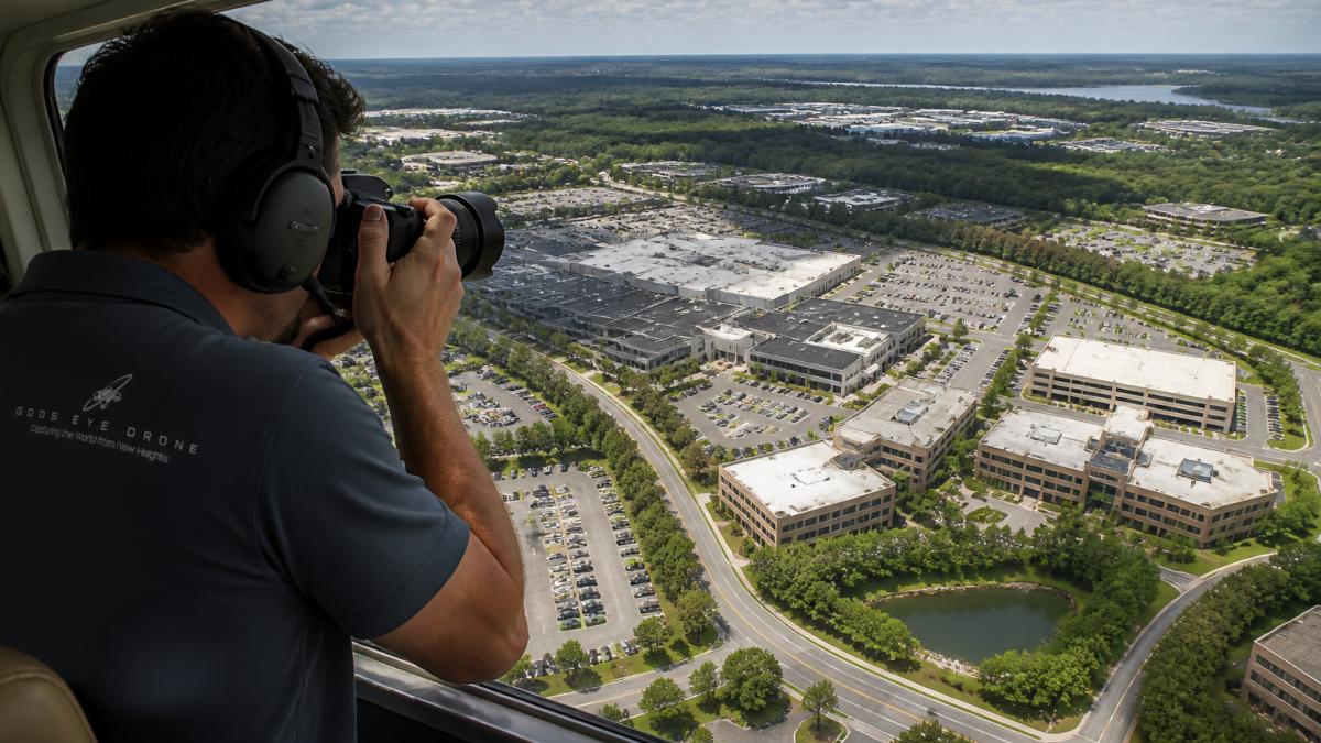
Most articles compare a drone to a manned aircraft on price alone, which is misleading: the platforms aren't priced on the same unit.
The same 200-acre assignment, priced two ways
Take a 200-acre agricultural property that needs full boundary coverage, four passes at different altitudes, and a set of edited stills for a lender package.
| Cost component | Drone (Part 107) | Manned aircraft |
|---|---|---|
| Flight time required | 6-9 flights at 20-30 min each, spread across a full day | 1.0-1.5 flight hours |
| Crew | 1 remote pilot (2 if visual observer needed) | 1 pilot + 1 photographer |
| Minimum booking | Usually none; billed per shoot | Commonly 2 flight hours |
| Mobilization | Drive time, often included within a radius | Positioning/flight to site, often billed |
| Fuel/energy | Battery swaps, negligible cost | Avgas or Jet-A, billed in the hourly rate |
| Editing | 4-8 hours | 4-8 hours |
| Typical all-in range | Lower per shoot, but multiple shoot days add up | Higher hourly rate, but one sortie covers the whole property |
A common pattern: the drone quote looks cheaper on the first line, but the manned quote wins once the property passes roughly 100-150 acres, because the drone needs many short sorties while the piloted aircraft covers the same ground in one flight.
Where each platform actually wins
Drone wins when:
- The property is under roughly 50 acres and needs a quick turnaround.
- You need low-altitude detail, roof lines, gutters, signage, tight site access.
- You need repeat visits on short notice (weekly construction progress, for example).
- The site sits inside controlled airspace where a Part 107 waiver or LAANC authorization is straightforward but a piloted flight would need coordination.
Manned aircraft wins when:
- The property is large enough that multiple drone sorties would take more than a day.
- You need a single continuous flight line, long linear assets like pipelines, transmission corridors, rail, or shoreline.
- You need higher altitude for a true overview, or you need to fly above airspace that drones cannot legally enter.
- Weather windows are tight and you cannot afford to lose a day to battery logistics.
The regulatory line that changes the math
Part 107 sets the operating ceiling for small unmanned aircraft at 400 feet above ground level and requires visual line of sight of the remote pilot in command unless a waiver is granted. Those two limits push large-area work toward piloted aircraft, which isn't bound by them the same way, so a single sortie can cover ground that would take a drone crew a full day.
What this means for your budget
For a single residential listing, the drone quote will almost always be lower and the manned quote not worth requesting. For a 300-acre development, recurring survey, or long linear corridor, request both, and ask the manned operator for a per-acre figure to compare against the drone operator's per-shoot figure.
Getting an Accurate Aerial Photography Quote
Information to Provide for Your Quote
Operators need specific details to estimate your manned aircraft aerial photography cost accurately.
Describe what you're photographing, residential, commercial, agricultural, construction, or infrastructure, and the purpose: marketing, site documentation, progress monitoring, or technical analysis.
Specify deliverables: stills, video, or both; resolution and format; intended use (print, web, social, presentations); and whether you need raw footage or edited final products.
Timeline matters: a rush project due within days costs more than work scheduled weeks ahead.
How a Quote Is Actually Built
Most operators build a manned aircraft quote from the same six line items. Knowing them lets you read a quote instead of just accepting it.
- Flight time, billed in flight hours, usually with a two-hour minimum. This is the largest single line.
- Mobilization / positioning, the cost of getting the aircraft and crew to your site. Sometimes folded into the hourly rate, sometimes billed separately by distance or by flight time to and from base.
- Crew, pilot plus photographer on most assignments. A second photographer or a sensor operator adds a line.
- Fuel and aircraft operating cost, typically already inside the hourly rate, but worth confirming.
- Post-production, editing, color correction, stabilization, and any video assembly. Billed hourly or as a flat per-deliverable fee.
- Licensing and usage, commercial use rights, exclusivity, and repeat-use terms. Often the most negotiable line.
Two Itemized Sample Budgets
These are illustrative structures, not quotes. Actual rates vary by region, aircraft, and operator.
Example A, 40-acre commercial site, stills only, standard turnaround
| Line item | Basis |
|---|---|
| Flight time | 1.0 flight hour, billed at the 2-hour minimum |
| Mobilization | Local, within the operator's included radius |
| Crew | Pilot + photographer |
| Post-production | 3-5 hours of still editing |
| Licensing | Standard commercial use, non-exclusive |
Example B, 300-acre development, stills + 60-second edited video, rush delivery
| Line item | Basis |
|---|---|
| Flight time | 2.0-3.0 flight hours |
| Mobilization | Longer positioning, possibly billed separately |
| Crew | Pilot + photographer, second pass for video |
| Post-production | 15-20 hours for video edit plus still editing |
| Licensing | Extended commercial use |
| Rush fee | Common surcharge for compressed delivery |
The gap between Example A and Example B is not the flying. It is the post-production hours and the licensing scope. That is the pattern most first-time buyers miss.
Questions That Change the Number
- Is the two-hour minimum flight time or total crew time?
- Is mobilization included, and within what radius?
- Are raw files included, or only edited deliverables?
- What usage rights come with the base price, and what costs extra?
- What is the rescheduling policy if weather grounds the flight?
- Is there a rush surcharge, and what triggers it?
Standard Packages vs. Custom Projects
Many operators offer standard packages for common project types. A real estate package typically includes a set number of stills, basic editing, and delivery within a specified timeframe, providing predictable pricing and simplified booking.
Custom projects outside standard offerings require detailed quotes. Thermal imaging surveys, infrastructure inspection with specialized equipment, or emergency response documentation all demand custom pricing.
Standard packages work when your needs align with common offerings; custom projects cost more but deliver exactly what you need. Comparing both helps you decide whether custom work justifies the additional investment.
Real Estate and Commercial Aerial Photography Packages
Real estate agents and developers are the largest market for aerial photography.
Commercial properties and larger developments often need expanded packages.
Agricultural applications are another significant category.
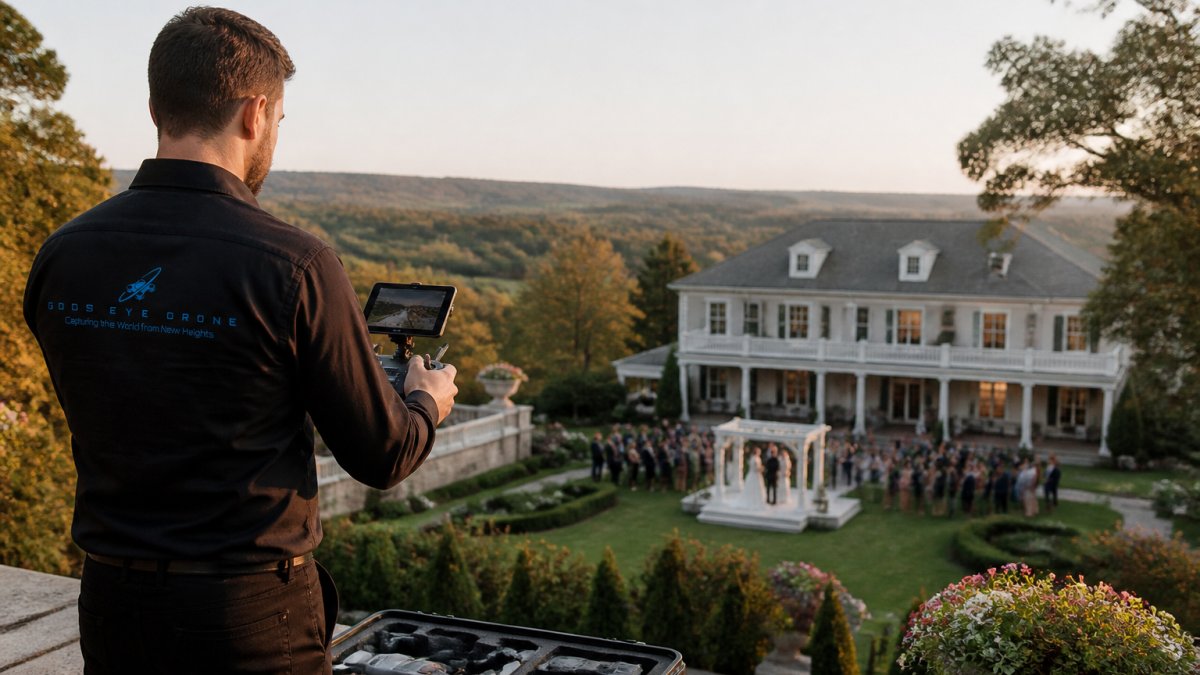
Event coverage packages for weddings and special occasions bundle aerial videography with editing.
Understanding manned aircraft aerial photography cost requires looking beyond hourly rates.
Gods Eye Drone evaluates your aerial photography needs and recommends the right approach.
Frequently Asked Questions
How much does manned aircraft aerial photography cost compared to drone photography?
Manned aircraft aerial photography typically costs more upfront than drone services because it requires a certified pilot, aircraft rental, and fuel. However, manned aircraft excels for large properties, wide coverage areas, and projects requiring extended flight time. For smaller residential properties, drone photography usually offers better value. The choice depends on your property size, shoot complexity, and coverage needs. Contact Gods Eye Drone for a custom quote for your specific project.
What information do I need to provide to get an accurate aerial photography quote?
To receive an accurate aerial photography quote, provide the property address, total acreage or square footage, specific areas you want captured, your project deadline, and desired deliverables (photos, video, or both). Include details about shoot complexity, such as whether you need thermal imaging, multispectral analysis, or standard photography. Mention any access restrictions, weather preferences, or special equipment requirements. The more details you provide, the more precise the quote will be for your aerial photography project.
When is manned aircraft a better choice than a drone for aerial photography?
Manned aircraft is the better choice for large-scale projects covering hundreds of acres, long-duration flights exceeding drone battery limits, high-altitude photography requiring extended coverage, and projects in areas with complex airspace restrictions. Manned aircraft also works well for commercial real estate, agricultural surveys, infrastructure inspections, and construction site monitoring across expansive areas. Drones excel for smaller properties, quick turnarounds, and budget-conscious projects. Your aerial photography needs, property size, and timeline determine which option delivers the best value.
What add-on services affect the final cost of aerial photography?
Common add-ons that increase aerial photography costs include thermal imaging, multispectral analysis, advanced image editing and post-production, rush delivery, weekend or holiday scheduling, and specialized equipment like FLIR cameras. Video services, photo and video bundles, and extended flight time also add to your project budget. Some operators offer discounts for multi-day projects or recurring aerial surveys. Discuss your specific needs with your aerial photography provider to understand which add-ons apply to your project and their impact on your final cost.