 comparison
Helicopter vs Drone Power Line Inspection
Table of Contents
- Helicopter vs Drone Power Line Inspection: Key Differences
- Safety Benefits and Operational Safety
- Speed, Efficiency, and Data Capture
- Drone Power Line Inspection Cost Analysis
- Utility Drone Inspection Best Practices
- FAA Regulations for Utility Drones
- When to Choose Helicopters vs Drones
- Frequently Asked Questions
Last Updated: September 30, 2026
Helicopter vs Drone Power Line Inspection: Key Differences
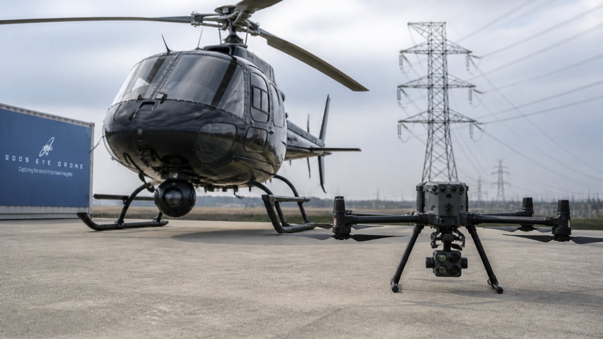
When utility companies need to inspect transmission corridors and substations, they face a critical choice in helicopter vs drone power line inspection: deploy a crewed helicopter or send an unmanned aerial vehicle. Each approach has distinct advantages, and the right decision depends on your specific infrastructure, budget, and operational constraints.
Helicopters excel at covering vast areas quickly in challenging weather. Drones offer precision, lower cost, and superior safety by keeping personnel away from energized zones. The winner depends on your specific mission.
Safety Benefits and Operational Safety
Drone inspections eliminate the need for personnel to approach energized infrastructure, the single biggest safety advantage. Helicopter crews require ground teams for coordination but don't position workers near live equipment.
Drones operate from a safe distance, capturing data via thermal imaging, high-resolution cameras, and LiDAR without human exposure to electrical hazards, reducing workplace injuries and liability.
Helicopters require skilled pilots in complex airspace and face significant weather constraints. Icing, wind shear, and low visibility ground helicopters more frequently than drones, which can operate in marginal conditions.
Thermal imaging sensors detect hotspots on insulators and connectors, identifying electrical faults before they cause outages and emergency response situations.
Speed, Efficiency, and Data Capture
Drones complete inspections in a fraction of the time helicopters require, a corridor taking a helicopter two days can be inspected by a drone in four to six hours.
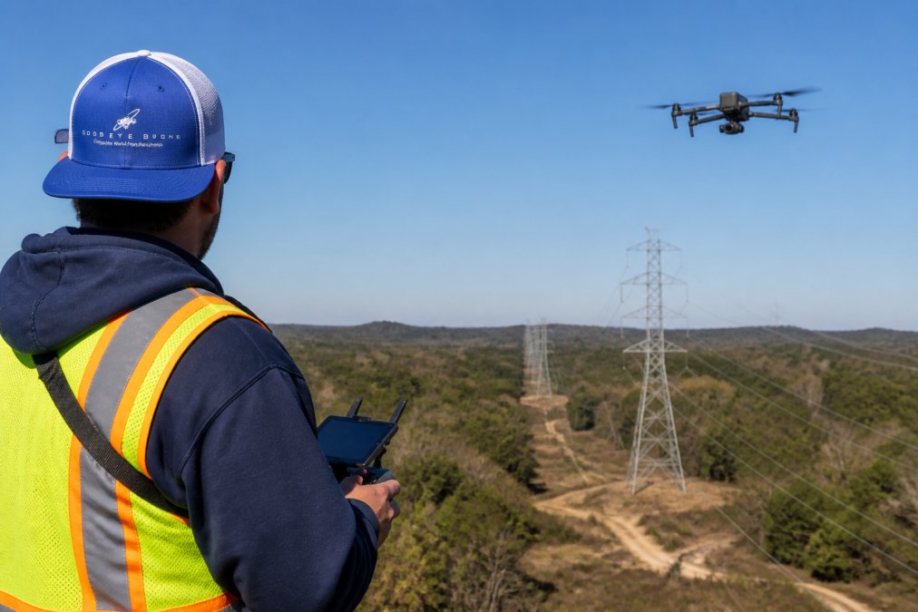
Faster inspections mean lower labor costs, quicker findings, and faster response to asset integrity concerns. Drones deliver rapid assessments of vegetation management and corrosion detection in hours rather than days.
Drones capture fine detail that helicopters cannot, a drone hovering 200 feet above a power line resolves individual bolts and connector degradation. Helicopters operating at higher altitudes capture broader coverage but lose detail.
Thermal imaging reveals invisible electrical problems, overheating insulators, loose connections, and equipment failures appear as heat signatures, enabling predictive maintenance that prevents outages.
The Data Processing Reality
Utilities often underestimate post-flight data burden. A 30-minute drone mission generates 150-300 GB of raw data; a 50-mile corridor survey generates 2-5 TB requiring processing, georeferencing, and analysis.
Data must be georeferenced using specialized software (Pix4D, Agisoft), organized in GIS and CMMS platforms, archived for regulatory compliance, and analyzed by trained personnel to interpret thermal signatures and prioritize repairs.
Personnel cost for data analysis often equals or exceeds flight cost. Monthly inspections across multiple corridors may require dedicated staff or contracted analysts.
Helicopters cover larger areas in a single flight, 100 miles versus 15-20 miles for drones. Helicopter data requires less post-processing infrastructure, making them preferable for extensive transmission network surveys.
Infrastructure Investment Considerations
Budget for processing software ($2,000-$10,000+ annually), cloud storage ($500-$3,000 monthly), personnel training, and integration middleware to move data into utility management systems.
This hidden infrastructure cost often rivals flight cost, which is why many utilities partner with managed service providers rather than building in-house programs.
Drone Power Line Inspection Cost Analysis
Drone operational expenditure runs substantially lower than helicopter operations, which require fuel, crew, and significant logistical overhead.
Drones enable routine monthly or quarterly inspections without the budget impact of helicopter deployments, catching problems early and reducing emergency response costs.
Helicopters justify themselves for 50+ mile deployments or when weather and terrain make drones impractical. For smaller substations, drones deliver better value.
Drone platforms like the DJI Matrice 350 RTK represent capital investment many utilities absorb through managed service providers. Helicopter operations require ownership and maintenance smaller utilities cannot justify.
Helicopters can fly in conditions that ground drones. In regions with frequent low-visibility weather or high winds, helicopter reliability may offset higher per-flight cost.
Utility Drone Inspection Best Practices
Define inspection objectives clearly: specific faults, preventative maintenance surveys, or vegetation mapping.
Establish flight corridors and coordinate with local air traffic control. Most transmission corridors require FAA coordination, especially near populated areas.
Use autonomous flight planning tools with pre-programmed GPS waypoints to maximize coverage and ensure consistent, repeatable data collection.
Conduct thermal imaging flights during early morning or evening when thermal contrast is highest; midday heat masks subtle temperature variations.
Post-flight processing is critical. Organize thermal data by location, compare against baselines, and flag anomalies for field teams.
Weather monitoring is essential. Wind speed, precipitation, and visibility directly impact data quality. Cancel flights when conditions deteriorate, marginal data wastes resources and delays decision-making.
FAA Regulations for Utility Drones
Commercial drone operations require FAA Part 107 certification, a legal requirement for utility inspections.
Drones must maintain visual line of sight with the pilot during flight, except under specific waiver conditions.
Request FAA airspace clearance before flying; this process can take days or weeks.
Remote identification requirements went into effect in 2023. Your drone must broadcast identification information continuously during flight. This allows law enforcement and the FAA to track your aircraft in real time.
Regulatory compliance also covers flight altitude restrictions. Most utility inspections occur below 400 feet above ground level, which simplifies airspace coordination. However, terrain variations can complicate altitude calculations; a valley floor 500 feet below surrounding terrain may allow higher absolute altitude while staying within the 400-foot rule.
Insurance and liability coverage must align with your operational scope. Standard drone insurance covers routine commercial operations, but utility infrastructure inspections, especially near energized equipment, may require specialized coverage. Verify your policy covers your specific inspection type.
Environmental and Operational Constraints
Beyond regulatory compliance, environmental conditions impose hard limits on drone inspection feasibility that utilities must understand before scheduling missions.
Wind Limitations
Most commercial inspection drones (DJI Matrice 300 RTK, Freefly Astro) have maximum wind speed ratings of 26-31 mph in calm conditions. However, transmission corridors often experience wind shear and gusting that exceeds these limits. A 20 mph average wind speed with gusts to 35 mph will ground the aircraft. Helicopters, by contrast, can operate in sustained winds up to 40+ mph, making them more reliable in windy regions or during seasonal weather patterns.
Temperature Extremes
Drone batteries lose capacity rapidly in cold conditions. Operating temperatures below 32°F reduce flight time by 20-40%. Below 14°F, most commercial drones cannot operate safely; battery voltage drops unpredictably, risking in-flight power loss. Thermal imaging sensors also require warm-up time in cold conditions to achieve accurate readings. Helicopters operate across a wider temperature envelope, making them preferable for winter inspections in northern climates.
Electromagnetic Interference (EMI)
High-voltage transmission lines generate electromagnetic fields that can disrupt drone navigation systems, particularly GPS and compass accuracy. Flying directly above or parallel to 345 kV or 500 kV lines may cause compass drift or loss of GPS lock, forcing the pilot to switch to manual control or abort the mission. Helicopters are less susceptible to EMI because they maintain greater distance from the lines and rely on pilot skill rather than autonomous navigation. This constraint often requires drones to maintain lateral offset from the centerline of transmission corridors, reducing data resolution on the most critical assets.
Precipitation and Visibility
Drones cannot operate safely in rain, snow, or heavy fog. Precipitation damages sensors, reduces visibility below safe operating thresholds, and adds weight that reduces flight time. Thermal imaging becomes unreliable in fog or heavy cloud cover. Helicopters can operate in light to moderate precipitation and lower visibility, though pilot workload increases significantly. In regions with frequent cloud cover or seasonal precipitation, helicopter reliability may offset higher per-flight costs.
Altitude Density Effects
Drone performance degrades at high elevation. A drone rated for 55 mph maximum speed at sea level may only achieve 40 mph at 8,000 feet elevation due to thinner air. Flight time decreases proportionally.
Payload and Sensor Limitations
Planning for Operational Constraints
Utilities should conduct a pre-inspection environmental assessment:
- Historical wind data, Review NOAA or local weather station records for average wind speeds and gust patterns during your planned inspection window
- Seasonal temperature ranges, Identify months when cold-weather operation becomes impractical
- Elevation profile, Map transmission corridor elevation to identify sections where drone performance degrades
- EMI testing, Conduct a test flight near the transmission line to verify GPS and compass stability before committing to a full inspection
- Seasonal precipitation patterns, Identify windows when weather reliability is highest
When to Choose Helicopters vs Drones
Helicopters win when you need to cover extensive geographic areas in minimal time. If your inspection zone spans 100+ miles of transmission lines, helicopter surveys deliver faster results. The per-mile cost becomes competitive when you amortize the flight over substantial distances.
Frequently Asked Questions
Can drones be used for power line inspections?
Yes. Drones equipped with high-resolution cameras, thermal imaging, and LiDAR sensors can inspect transmission corridors, substations, and distribution lines effectively. They capture visual data, detect corrosion, identify vegetation management issues, and locate electrical faults through thermal signatures. Certified drone pilots operating under FAA Part 107 regulations can conduct these inspections safely while keeping personnel away from energized zones.
How much does it cost to fly a drone for power line inspection?
Drone power line inspection cost depends on project scope, transmission corridor length, equipment payload (thermal imaging, LiDAR, high-resolution cameras), flight time, data processing requirements, and pilot certification level. Service-based providers typically charge per mile of line inspected or per project scope. Operational expenditure is substantially lower than helicopter inspections. Contact Gods Eye Drone for a detailed quote based on your specific infrastructure monitoring needs.
What are the safety benefits of using drones for utility inspections?
Drones eliminate the need for personnel to climb energized structures or work at height near power lines, reducing injury risk significantly. Remote patrols via UAV keep workers away from hazardous zones and energized equipment. Thermal imaging and autonomous flight reduce human error. Drones can inspect dangerous or remote transmission corridor sections without exposing crews to electrical, fall, or environmental hazards.
What FAA regulations apply to utility drone inspections?
Commercial drone operations, including utility inspections, require FAA Part 107 certification for the pilot. Operators must maintain visual line of sight, follow altitude restrictions, and comply with airspace regulations. Beyond-visual-line-of-sight (BVLOS) operations over transmission corridors require special waivers. Insurance and liability coverage are mandatory. Gods Eye Drone's certified pilots ensure full regulatory compliance for all infrastructure monitoring missions.