 ultimate-guide
Drone Photography Pricing: A 2026 Guide
Table of Contents
- What Influences Drone Photography Pricing
- Real Estate Aerial Photography Packages
- Commercial Drone Inspection Rates and What They Cover
- Drone Videography Cost Factors and Deliverables
- FAA Part 107 Compliance and Insurance Impact on Pricing
- Post-Production, Weather, and Timeline Considerations
- Choosing the Right Drone Service for Your Needs
- Frequently Asked Questions
Last Updated: September 28, 2026
What Influences Drone Photography Pricing
Drone photography pricing depends on several interconnected factors that determine what you'll actually pay for aerial imagery. Understanding these drivers helps you evaluate quotes intelligently and avoid the mistake of shopping purely on price.
The primary cost drivers are project scope, deliverable complexity, equipment requirements, and operational constraints. A real estate agent needing 20 edited photos for a property listing pays far less than a construction company requiring thermal imaging, 4K video, and weekly progress documentation over six months.
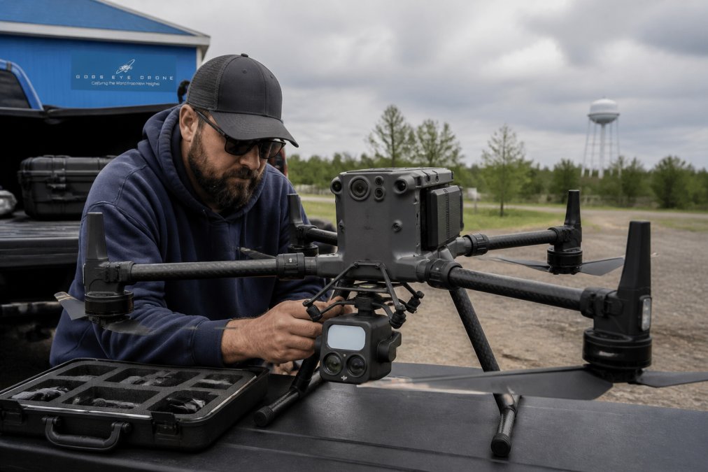
Flight time and crew requirements form the operational foundation. A licensed drone operator under FAA Part 107 regulations must maintain visual line of sight, follow airspace restrictions, and document every flight. This isn't just one person with a camera, it's a certified professional managing risk, liability, and regulatory compliance. Most projects require a pilot and often a spotter or safety officer, especially for commercial work near populated areas or sensitive infrastructure.
Equipment specifications directly impact pricing. A basic consumer drone differs fundamentally from a commercial platform. Professional rigs include gimbal stabilization for smooth footage, multi-sensor payloads for specialized work, and redundant safety systems. FLIR thermal imaging equipment, critical for search and rescue operations, infrastructure inspection, and agricultural monitoring, adds significant cost due to sensor precision and data processing requirements.
Post-production workflows consume substantial time and expertise. Raw footage requires color grading, editing, stitching for panoramic imagery, and format conversion for different platforms. A 30-minute raw video shoot often translates to 8-12 hours of editing work. 3D modeling and orthomosaic generation for site surveys add another layer of technical processing that justifies higher project costs.
Real Estate Aerial Photography Packages
Real estate aerial photography packages typically structure pricing around property type, listing value, and desired deliverables. The market has standardized around several common tiers that address different agent and developer needs.
For residential properties, basic packages usually include 15-25 edited photos and a short highlight video. These capture the property's footprint, landscaping, and relationship to surrounding neighborhoods, the visual context that helps buyers understand location value. The turnaround time typically ranges from 3-7 business days depending on editing complexity.
Commercial real estate packages expand significantly. Developers marketing office parks, industrial complexes, or mixed-use properties often need 50+ high-resolution images, multiple video angles, and sometimes 3D models showing site context. Aerial perspective proves invaluable for demonstrating property scale, parking capacity, access points, and integration with surrounding infrastructure. This is where professional real estate aerial photography packages justify their cost through measurable listing performance improvements.
Luxury residential markets, where properties exceed $2M, often demand cinematic video, drone-captured property tours, and branded content integration. These packages blur the line between real estate marketing and professional videography, requiring color grading, music licensing, and multi-day shoots to capture seasonal lighting.
The critical variable is what buyers and agents actually use. A property agent with 15-20 listings monthly faces a different calculus than a developer with one major project per year. Frequent users benefit from retainer relationships or package pricing. One-off projects may cost more per deliverable but require no long-term commitment.
Commercial Drone Inspection Rates and What They Cover
Commercial drone inspection pricing reflects the technical complexity and safety criticality of the work. These aren't simple photo shoots, they're data collection operations that inform maintenance decisions, regulatory compliance, and risk management.
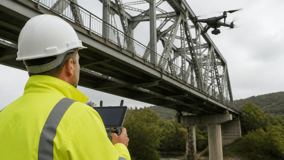
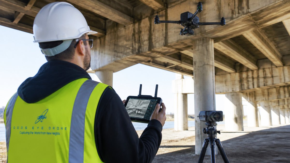
Infrastructure inspections, bridges, power lines, cell towers, rooftops, command premium rates because they require specialized expertise and equipment. A drone operator must understand structural engineering concepts, identify defect types, and deliver reports that meet industry standards. Most infrastructure inspections include high-resolution imagery, thermal data (to detect electrical hotspots or moisture intrusion), and detailed written analysis. Turnaround typically extends to 10-14 days to allow for thorough report generation.
Agricultural drone services use multispectral sensors to assess crop health, irrigation efficiency, and pest pressure across large acreage. These flights generate massive datasets requiring specialized software analysis. A 500-acre field survey might cost more than a single residential property photo shoot, but it provides data that directly impacts yield and input costs.
What separates a $1,500 inspection from a $5,000 one is the deliverable depth. A basic roof inspection provides photos and basic observations. A comprehensive thermal inspection for commercial properties includes temperature mapping, moisture detection, structural analysis, and actionable repair recommendations. The difference between "here are photos" and "here's what needs fixing and why" justifies the cost difference substantially.
Insurance and liability coverage factor directly into commercial inspection pricing. Gods Eye Drone carries the liability insurance that protects commercial clients during high-risk operations. This coverage is non-negotiable for critical infrastructure work.
Drone Videography Cost Factors and Deliverables
Drone videography pricing diverges significantly from still photography because video production involves different technical demands and post-production complexity. A single drone flight can generate footage that requires 20+ hours of editing, color grading, and effects work.
Videography deliverables typically include raw footage, edited highlight reels, and sometimes cinematic sequences. Wedding videography, a major market segment, requires capturing multiple angles simultaneously, coordinating with ground crews, and delivering a polished final product within 4-6 weeks. This is where videography costs exceed still photography substantially because the final product is the entire service value, not supplementary marketing material.
Commercial videography for corporate communications, product launches, or promotional content demands even higher production standards. 4K video at 60 frames per second, gimbal stabilization for smooth motion, color grading to match brand standards, and sound design all contribute to project cost. A 60-second corporate video might require 2-3 full days of shooting and 30+ hours of post-production.
Event coverage, weddings, conferences, real estate open houses, typically prices as a day rate plus editing. The day rate covers the pilot's time, equipment, and operational costs. Editing costs scale with footage volume and desired turnaround speed. Rush delivery (3-5 days) costs significantly more than standard delivery (2-3 weeks).
The hidden cost factor is revision cycles. Most videography packages include 2-3 rounds of revisions. Extensive changes beyond that scope trigger additional fees. This is where clear communication upfront prevents cost surprises, define exactly what the final product should look like before shooting begins.
FAA Part 107 Compliance and Insurance Impact on Pricing
FAA Part 107 certification isn't optional for commercial drone work, it's federal law. Any drone flight performed for compensation requires the operator to hold a Remote Pilot in Command certificate. This regulatory requirement directly impacts pricing because compliance carries real costs.
Obtaining Part 107 certification requires passing a written exam, maintaining currency through ongoing training, and carrying liability insurance. Licensed operators must log flight hours, document maintenance schedules, and follow strict operational rules, visual line of sight at all times, maximum altitude of 400 feet, no flights over people or moving vehicles without waivers. These constraints sometimes necessitate multiple flights or special permits, which increase project costs.
Liability insurance for commercial drone operations typically costs $1,000-$2,000 annually for standard coverage. Operators working in high-risk environments, near power lines, over populated areas, or for critical infrastructure, carry specialized policies that cost substantially more. These insurance costs are embedded in project pricing because they protect both the operator and the client.
Waiver applications for flights that exceed standard Part 107 rules add 2-4 weeks to project timelines and require FAA approval. A flight over a populated area, beyond visual line of sight, or above 400 feet requires explicit authorization. These regulatory delays and requirements increase project costs directly.
The compliance framework exists for safety reasons. An uninsured, unlicensed operator might offer lower prices, but you're assuming all liability if an accident occurs. Professional operators like Gods Eye Drone build compliance costs into pricing because regulatory adherence protects everyone involved.
Post-Production, Weather, and Timeline Considerations
Post-production consumes the largest portion of total project time, yet many clients underestimate this phase when evaluating pricing. Shooting is often 10-20% of total project duration, editing, color grading, and delivery preparation dominate the timeline.
Raw footage processing begins immediately after a flight. Footage must be transferred, backed up, organized, and reviewed. Color grading standardizes footage tone and matches brand guidelines. For 4K video, this process is computationally intensive and requires powerful hardware.
Choosing the Right Drone Service for Your Needs
Selecting a drone service provider requires matching your project requirements to operator capabilities, not simply comparing headline prices. The cheapest quote often reflects lower equipment quality, less experienced operators, or incomplete deliverables.
Frequently Asked Questions
How much do professional drone photographers charge per hour?
Professional drone photography pricing depends on project scope, location, equipment, and deliverables. Hourly rates vary based on whether the pilot is Part 107 certified, the complexity of the flight plan, and post-production requirements. For an accurate quote, contact a licensed drone operator who can assess your specific needs and provide detailed pricing for your project.
What factors influence the cost of drone photography for real estate?
Real estate aerial photography packages typically account for property size, number of photos and video clips needed, editing requirements, turnaround time, and whether additional services like 3D modeling or virtual tours are included. Weather conditions, flight complexity, and the quality of the final deliverables also affect pricing. A professional aerial photography provider can break down costs based on your listing's specific needs.
Are there specific FAA regulations that impact drone service pricing?
Yes. FAA Part 107 certification requires pilots to maintain liability insurance, follow strict flight rules, and conduct detailed flight planning. These compliance requirements add operational costs that certified professionals pass through to clients. Insurance coverage and adherence to FAA regulations protect both the operator and the client, making certified services more reliable than uncertified alternatives.
How long does it typically take from booking to receiving final deliverables?
Turnaround time depends on weather conditions, post-production complexity, and the scope of editing required. Raw footage processing, color grading, and high-resolution imagery rendering can extend timelines. Professional drone operators typically provide estimated delivery dates during the quote phase. Discuss your project timeline upfront to ensure the service provider can meet your deadlines.