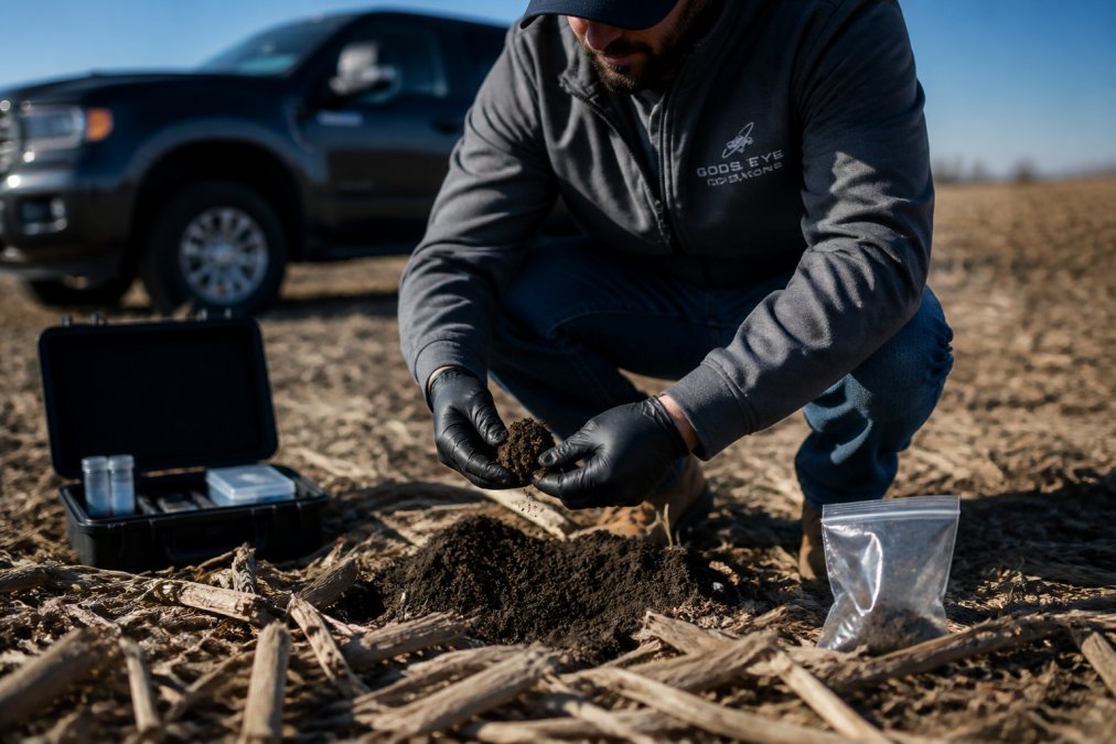
Drone Soil Analysis for Nutrient Management
Discover why drone soil analysis is vital for nutrient management. Learn how multispectral imaging improves fertilizer efficiency and crop yields.

Scaling Commercial Drone Operations: 2026 Enterprise Guide
Scaling drone operations: Learn how scaling commercial drone operations works for large enterprises, from fleet management to FAA compliance. Get expert.

Best Drone Inspection Services for Construction Projects
Find the best drone inspection services for construction projects in 2026. Compare providers, costs, and thermal imaging for building inspections. Get.
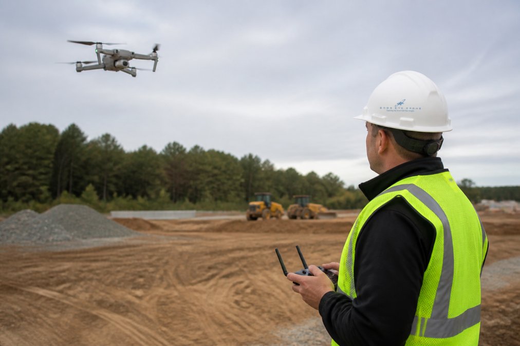
Aerial Site Survey Accuracy: What It Is and How It Works
Learn what aerial site survey accuracy means, from GCPs and RTK to error margins and validation. Explore how to improve drone mapping accuracy today.
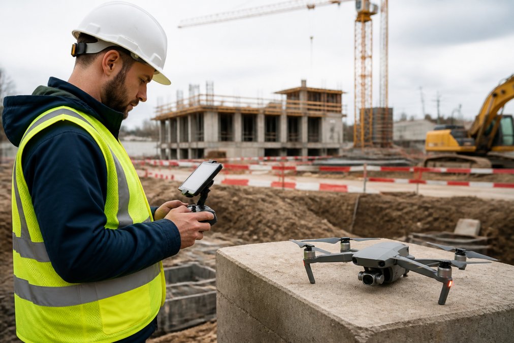
Drone Construction Monitoring Pricing: 2026 Guide
Understand drone construction monitoring pricing, from hourly rates to project fees. Learn what affects cost and how to calculate ROI for your projects.
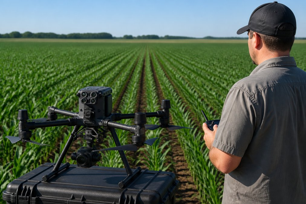
Agricultural Crop Monitoring: Multispectral Analysis Guide
Crop monitoring multispectral: Learn how multispectral crop monitoring detects stress early, optimizes inputs, and predicts yield. Complete workflow guide.

Cost-Benefit Analysis of Commercial Drone Services
Calculate ROI on commercial drone services. Compare startup costs, operational expenses, and efficiency gains for your business. Learn the real economics.

Commercial Real Estate Drone Photography Cost: 2026 Pricing Guide
Understand commercial real estate drone photography costs. Learn pricing factors, service packages, and ROI for property marketing. Get a quote today.

Drone Wedding Videography: Tips for Cinematic Coverage
Master drone wedding videography with expert tips on FAA regulations, shot planning, equipment, and post-production. Get cinematic aerial footage for your.
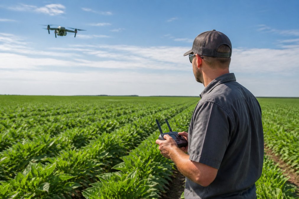
Drone Crop Monitoring for Kansas Farms: A 2026 Guide
Learn how drone crop monitoring helps Kansas farmers detect disease, optimize irrigation, and boost yields. Discover FAA regulations, costs, and.
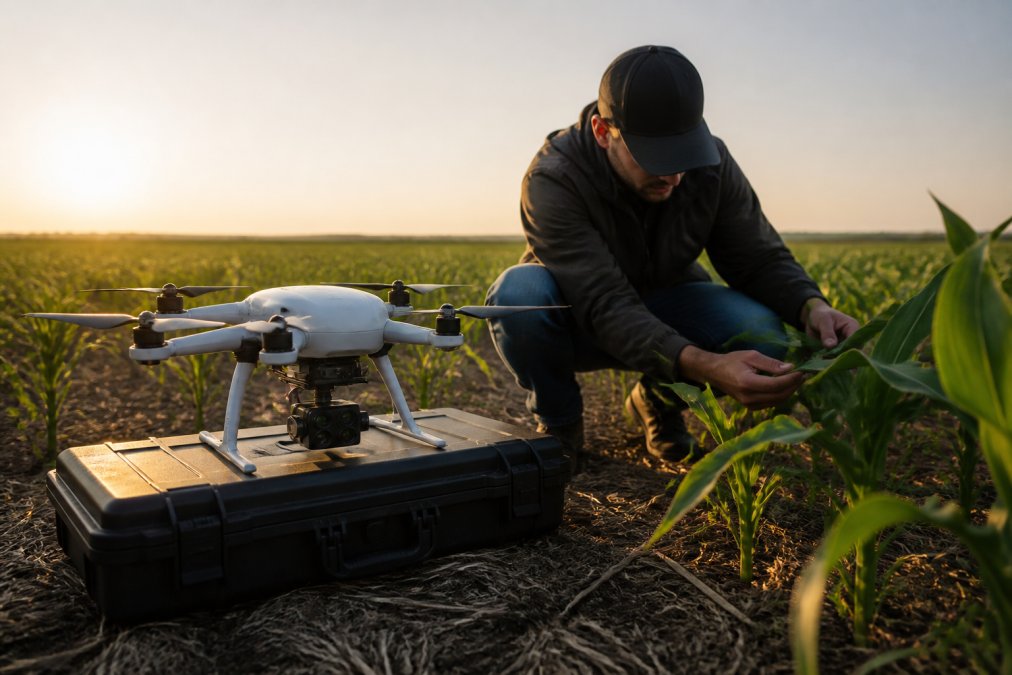
Multispectral Crop Analysis for Farmers: A 2026 Guide
Learn how multispectral crop analysis helps farmers detect plant stress, optimize inputs, and increase yields. Complete guide with ROI insights.
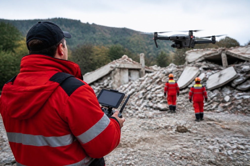
Thermal Drone Imaging for Search and Rescue: 2026 Guide
Thermal drone imaging for search and rescue: Learn how thermal drone imaging detects heat signatures in low-visibility SAR operations. Covers sensors.