 ultimate-guide
Best Drone Inspection Services for Construction Projects
Table of Contents
- Top Drone Inspection Services for Construction Projects Compared
- Drone Construction Site Monitoring Benefits: Progress Tracking and Safety
- The Cost of Drone Inspection Services for Construction: What Drives Pricing
- Thermal Imaging for Building Inspections: Defect Detection and Energy Audits
- Provider Pros and Cons: Matching Services to Project Type
- FAA Part 107 Compliance, Pilot Certification, and Insurance Coverage
- Data Integration and Security: BIM, CAD, and Cloud Collaboration
- Conclusion
- Frequently Asked Questions
Last Updated: September 15, 2026
Top Drone Inspection Services for Construction Projects Compared
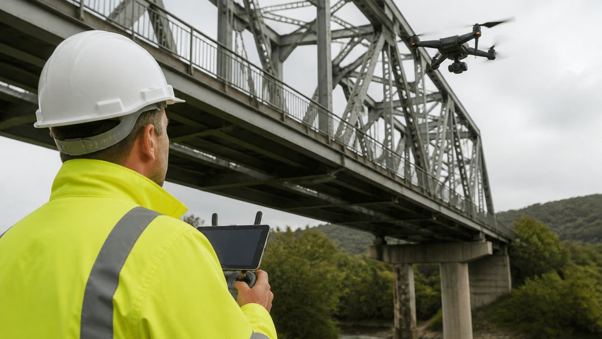
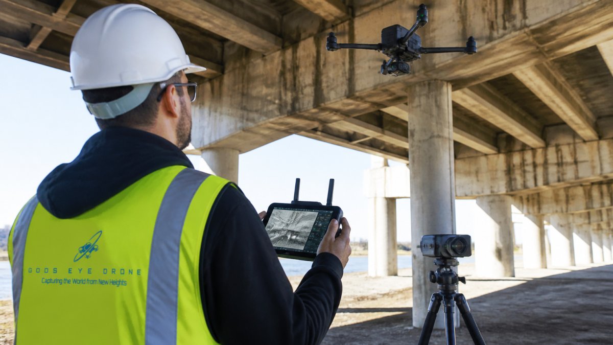
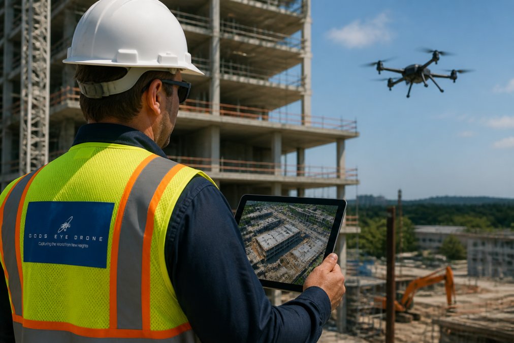
The best drone inspection services for construction projects combine certified pilots, survey-grade data processing, and clear deliverables for site progress monitoring. Gods Eye Drone, a veteran-owned, full-service drone company, delivers precise aerial inspections with advanced FLIR equipment and certified pilots. This guide compares the leading options so project managers can match a provider to their actual workflow.
Quick Comparison: Providers, Pricing Models, and Best Use Cases
| Provider | Pricing Model | Standout Strength | Best For |
|---|---|---|---|
| Gods Eye Drone | Project-based | Certified pilots, FLIR thermal equipment | Full-service inspections and progress monitoring |
| Propeller Aero | Subscription | CAD and BIM integration | Earthwork and volume tracking |
| SkySpecs | Enterprise contract | Predictive maintenance analytics | Renewable energy assets |
| Raptor Maps | Subscription | Solar-specific thermal analysis | Solar construction |
| FlyGuys | Project-based | Nationwide pilot network | Multi-site coverage |
| SkyeBrowse | Subscription | Videogrammetry 3D modeling | Rapid documentation |
| Cyberhawk | Enterprise contract | Engineering-grade reporting | Critical infrastructure |
| PrecisionHawk | Subscription | AI defect detection | Regulatory-heavy projects |
Drone Construction Site Monitoring Benefits: Progress Tracking and Safety
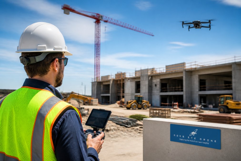
Drone construction site monitoring benefits fall into two categories: visibility and risk reduction. Aerial photogrammetry and orthomosaic mapping create a repeatable visual record of the site, so progress disputes are settled with dated imagery rather than memory.
- Progress tracking: Autonomous flight paths flown weekly produce comparable images, making schedule slippage obvious.
- Risk mitigation: Inspectors stay off scaffolding and out of confined areas, reducing fall exposure.
- Documentation: Point cloud generation and topographic surveys capture stockpile volume measurement without a ground crew.
The practical payoff is project management efficiency. Instead of scheduling a survey team for every milestone, a pilot flies a fixed route and delivers the same data in a fraction of the time.
The Cost of Drone Inspection Services for Construction: What Drives Pricing
The cost of drone inspection services for construction is not a flat rate. It is a function of site size, deliverable type, sensor payload, flight frequency, and travel, and most providers quote per project rather than per hour. Understanding how those levers move the number is the difference between a quote that fits your budget and one that surprises you at invoice time.
The Four Pricing Models You Will See
- Project-based (flat fee per flight or per deliverable). Common for one-time progress documentation, pre-pour inspections, and as-built capture. Easiest to budget because the scope is fixed before the pilot arrives.
- Subscription (monthly or annual platform access plus flight credits). Common with earthwork and volumetrics platforms. You pay for the software seat and the processing pipeline, then add flights. Best when you fly the same site weekly or biweekly.
- Hourly or day rate. Common for thermal, LiDAR, and interior or confined-space work where flight time is unpredictable. Watch for a minimum billing block, often two to four hours plus travel.
- Enterprise contract. Common for multi-site portfolios, renewable energy assets, and critical infrastructure. Negotiated annually with defined service levels, dedicated pilots, and reporting templates.
What Actually Moves the Price
- Acreage and site complexity. A flat, open site is faster to fly and process than a site with tower cranes, power lines, occupied structures, and restricted airspace. Complex sites require more planning, more passes, and sometimes multiple launch positions.
- Deliverable type. Raw imagery and a basic orthomosaic sit at the low end. A georeferenced orthomosaic, a classified point cloud, a stockpile volume report, or a 3D mesh sit at the high end because of processing time and software licensing.
- Sensor payload. RGB is the baseline. Thermal (FLIR-class) and LiDAR sensors cost more to own, calibrate, and fly, and LiDAR in particular requires more processing and a higher-skill pilot.
- Frequency and scheduling. A recurring weekly flight plan amortizes mobilization and planning across the schedule. A one-off emergency flight carries the full mobilization cost in a single invoice.
- Travel and mobilization. Distance from the pilot's base, site access requirements, and any need for escorts, safety orientation, or badge processing all add billable time.
- Data processing and hosting. Cloud processing, storage, and platform seats are often billed separately from the flight. Ask whether processing is included or metered.
How Drone Costs Compare to Traditional Methods
A common pattern is that a drone flight replaces a survey crew or an inspection team for routine documentation, not for every task. For progress imagery, stockpile volumes, and roof or facade inspections, the drone approach typically reduces labor hours, eliminates scaffolding or lift rental, and shortens the turnaround from days to hours. For boundary surveys, utility locating, and structural engineering sign-off, drone data supplements rather than replaces the licensed professional.
The honest framing for a project manager is this: drone inspection is not automatically cheaper per flight than a single survey visit. It can become more cost-effective when you fly the same site repeatedly, as the marginal cost of each additional flight can drop once the flight plan, ground control, and processing pipeline are established.
How to Get a Quote You Can Compare
Because pricing depends on quantity, dates, and delivery format, request a quote rather than assuming a standard rate. Give every provider the same scope so the numbers are comparable:
- Site address, acreage, and a site plan or KMZ boundary.
- The deliverable you need (orthomosaic, point cloud, volume report, thermal set, 3D model).
- Flight frequency and the date range.
- Required accuracy and whether ground control points are needed.
- Turnaround time and the format your team can actually open.
Thermal Imaging for Building Inspections: Defect Detection and Energy Audits
Thermal imaging for building inspections detects what the eye cannot: moisture intrusion, missing insulation, and electrical hot spots. A thermal sensor reads surface temperature differences, so a wet roof section or a failing connection shows up as an anomaly against the surrounding material (Thermal Imaging | NIST).
For construction teams, this matters at two points. During the build, thermal flights catch envelope defects before drywall closes them in. After handover, they support energy audits and structural integrity assessment.
Provider Pros and Cons: Matching Services to Project Type
Matching a provider to your project type matters more than picking the biggest name. A solar farm, a mid-rise building, and a highway earthwork package need different sensors, different processing, and different reporting. The unique angle here is the selection framework itself: most guides list providers, but few tell you which questions separate a good fit from a bad one for your specific site.
Start With the Deliverable, Not the Brand
Before you compare providers, write down what your team will actually do with the data. That single step eliminates most of the field.
- Earthwork and volumetrics. You need georeferenced orthomosaics, classified point clouds, and stockpile volume reports that tie to your cut-fill model. Prioritize providers with proven CAD and BIM import and a documented accuracy specification.
- Structural and envelope inspection. You need high-resolution RGB and thermal, often at close range, with defect annotation.
The Trade-Offs Behind the Provider Types
Questions That Separate Providers
A Practical Shortlisting Method
FAA Part 107 Compliance, Pilot Certification, and Insurance Coverage
Ask every provider three questions before signing:
Data Integration and Security: BIM, CAD, and Cloud Collaboration
Look for providers that support:
Conclusion
Frequently Asked Questions
What are the benefits of using drone inspection services for construction?
Drone inspection services provide high-resolution imagery, 3D mapping, and thermal data that improve jobsite visibility and risk mitigation. They enable frequent site progress monitoring without scaffolding or heavy equipment, reducing safety risks. For construction managers, this can mean faster decisions, better documentation, and fewer delays.
How do drone inspections improve construction site safety?
Drones keep workers out of hazardous areas by performing structural integrity assessments and site safety audits from a safe distance. They can inspect roofs, facades, and confined spaces without ladders or cranes. This reduces fall risks and exposure to unstable structures. Additionally, thermal imaging for building inspections can detect electrical hot spots before they cause fires. This can contribute to fewer accidents for construction firms.
Are drone inspections cost-effective for small construction sites?
Yes, for many small sites drone inspections are cost-effective because they replace manual surveys that require multiple workers and equipment. The cost of drone inspection services for construction depends on project size, data deliverables, and frequency. While per-flight rates may seem higher than a single manual inspection, the speed and accuracy often reduce overall project costs by catching issues early and avoiding rework. For tight budgets, consider project-based pricing from local providers.
What certifications should a professional drone inspection company have?
Look for FAA Part 107 compliance for all pilots, which is required for commercial operations. The company should carry liability insurance and provide proof of coverage. For specialized work like thermal imaging for building inspections, ask about sensor calibration and pilot training. A reputable provider will also have repeatable workflows and data security protocols. Gods Eye Drone, for example, uses certified pilots and advanced FLIR equipment for precise results.