 ultimate-guide
Commercial Real Estate Drone Photography Cost: 2026 Pricing Guide
Table of Contents
- What Commercial Real Estate Drone Photography Costs
- Factors Affecting Drone Photography Costs
- Standard Real Estate Photo Package Inclusions
- FAA Part 107 Drone Pilot Requirements and Compliance Costs
- Drone Inspection Service Pricing for Commercial Properties
- Residential vs. Commercial Aerial Photography Rates
- ROI Analysis: Why Aerial Photography Pays for Itself
- Video vs. Photo Costs for Commercial Real Estate
- Frequently Asked Questions
Last Updated: August 27, 2026
What Commercial Real Estate Drone Photography Costs
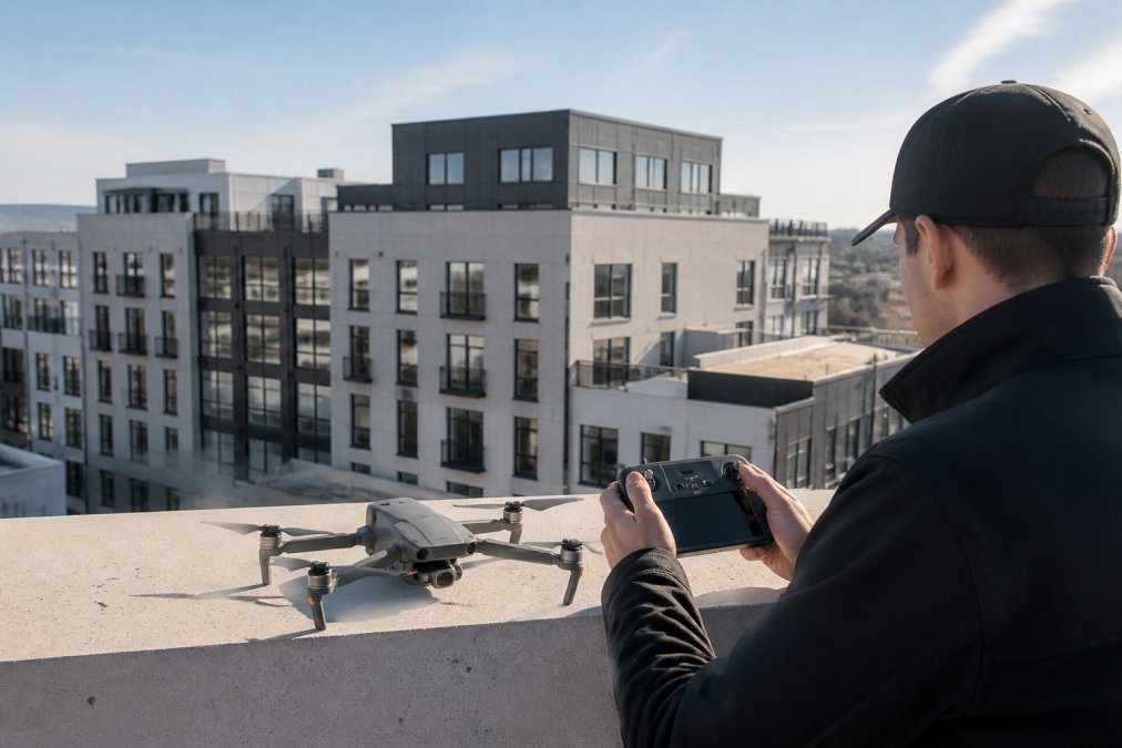
Commercial real estate drone photography cost varies significantly based on project scope, property size, and the complexity of deliverables required. For most commercial properties, a standard aerial photography package ranges from modest to substantial investment, depending on whether you need basic still images or comprehensive video documentation with post-production editing.
The pricing structure for drone photography services reflects several critical factors: pilot certification and experience level, equipment sophistication, geographic market conditions, and the specific deliverables you require. Understanding these components helps property owners and real estate professionals make informed decisions about whether aerial photography represents a sound investment for their listings.
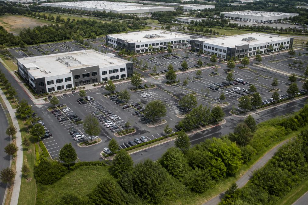
At Gods Eye Drone, we've seen firsthand how commercial properties benefit from professional aerial perspectives. The visibility and marketing impact of quality drone photography often justifies the investment, particularly for larger commercial assets where traditional ground-level photography fails to communicate the full scope and context of the property.
Most commercial real estate professionals find that drone photography cost becomes more reasonable when viewed as a component of the overall marketing strategy rather than a standalone expense. The ability to showcase property dimensions, surrounding infrastructure, parking capacity, and site accessibility through aerial imagery creates competitive advantages that justify the service investment.
Factors Affecting Drone Photography Costs
Several interconnected factors determine the final price for commercial real estate drone photography cost. Recognizing these cost drivers allows you to understand why quotes vary between providers and what you're actually paying for.
Property Size and Complexity
Larger commercial properties naturally require more flight time, broader coverage areas, and more comprehensive post-production work. A 5,000-square-foot retail building demands different flight planning and editing effort than a 50-acre industrial complex with multiple structures, parking areas, and landscaping features.
Properties with complex layouts, multiple buildings, or challenging terrain increase the drone photography cost because pilots need additional flight time to capture all relevant angles and perspectives. Rooftop-mounted equipment, nearby obstacles, or restricted airspace may require specialized flight planning that extends service duration.
The level of detail you require also factors into complexity. Basic overhead shots cost less than comprehensive documentation that includes multiple angles, close-ups of specific features, and context shots showing the property's relationship to surrounding infrastructure.
Geographic Location and Market Demand
Geographic location significantly influences drone photography cost. Urban markets with higher demand for commercial real estate services, established competition, and elevated operating costs typically charge more than rural areas. Pilot availability, local regulatory requirements, and market saturation all affect pricing.
Locations with challenging weather patterns or restricted airspace may require more experienced pilots or specialized flight planning, which increases costs. Remote properties that require travel time represent additional overhead that service providers factor into their pricing.
Market demand in your region directly impacts drone photography cost. High-growth commercial real estate markets see more competition and established pricing structures, while emerging markets may have limited service availability and less predictable pricing.
Equipment and Technology Requirements
Standard drone photography uses commercial-grade equipment capable of high-resolution imaging. More sophisticated requirements, thermal imaging, multispectral analysis, LiDAR scanning, or advanced post-processing, substantially increase drone photography cost because they require specialized equipment and operator expertise.
The quality and capabilities of the drone itself factor into pricing. Professional-grade equipment with advanced sensors, stabilization systems, and longer flight times commands higher service fees than basic consumer-level drones. Commercial real estate clients typically expect equipment that delivers publication-quality imagery, which requires investment-grade technology.
Post-production capabilities also influence cost. Basic image cropping and color correction cost less than comprehensive editing, 3D modeling, virtual tours, or advanced compositing work. Clients seeking polished, marketing-ready deliverables should expect higher drone photography cost to reflect the production quality required.
Standard Real Estate Photo Package Inclusions
Understanding what's typically included in commercial real estate drone photography packages helps you evaluate value and compare quotes effectively. Most professional service providers structure packages around specific deliverables and flight time.
A standard real estate photo package typically includes high-resolution aerial images of the property from multiple angles, establishing shots showing the property's context within surrounding areas, and detailed photographs of key features like parking lots, landscaping, or rooftop installations. Most packages include basic color correction and file optimization for real estate marketing platforms.
Professional packages often include a specified number of edited images, delivery in multiple formats suitable for different marketing channels, and licensing terms that allow unlimited use in property marketing. Some providers include drone photography cost transparency by bundling services: a base package price covers standard deliverables, with add-ons available for additional services like video editing or extended flight time.
The distinction between basic and premium packages centers on post-production quality, turnaround time, and the scope of raw footage captured. Budget packages deliver functional imagery suitable for MLS listings. Premium offerings include cinematic color grading, advanced editing, and deliverables optimized for luxury property marketing.
FAA Part 107 Drone Pilot Requirements and Compliance Costs
Operating commercial drones legally requires FAA Part 107 certification, a regulatory requirement that directly impacts drone photography cost. Understanding compliance requirements helps you evaluate whether quoted pricing reflects proper licensing and insurance.
The FAA Part 107 certification requires pilots to pass a knowledge test, maintain currency through recurrent training, and comply with operational restrictions including altitude limits, line-of-sight requirements, and airspace regulations (faa.gov). Certified pilots typically command higher fees than uncertified operators because they carry the liability and responsibility for regulatory compliance.
Professional drone photography services include compliance costs in their pricing structure (faa.gov). Insurance coverage, which protects both the operator and the client in case of equipment damage or liability claims, represents a significant component of commercial drone photography cost. Reputable providers maintain adequate liability insurance, which commercial clients should verify before booking.
Compliance costs also reflect airspace authorization requirements. Some properties require FAA approval for flight operations, particularly near airports or in controlled airspace. The time and expense associated with obtaining waivers and airspace clearances factor into drone photography cost for properties in restricted areas.
At Gods Eye Drone, our certified pilots maintain current Part 107 credentials and comprehensive insurance coverage. These compliance investments are reflected in our pricing because they represent genuine overhead that protects clients and ensure legal operation.
Drone Inspection Service Pricing for Commercial Properties
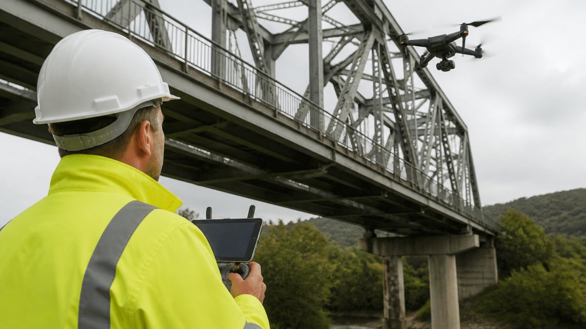
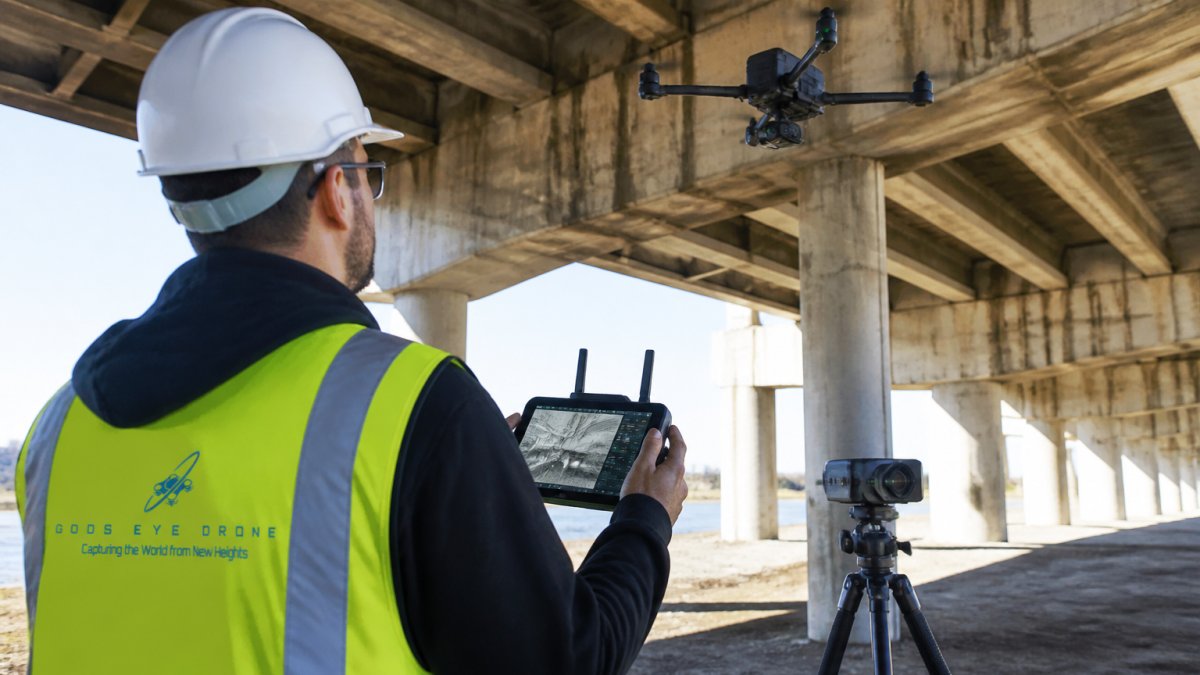
Commercial properties often require specialized drone inspection services beyond standard photography. Structural assessments, roof condition evaluations, and infrastructure inspections command higher drone photography cost because they require specialized expertise and equipment.
Inspection services typically involve more extensive flight time, higher-resolution imaging, and detailed technical analysis. Thermal imaging for building envelope assessment, multispectral imaging for roof condition analysis, or LiDAR scanning for structural documentation all increase service complexity and cost.
The deliverables for inspection services differ significantly from marketing photography. Clients receive detailed technical reports, condition assessments, measurements, and documentation suitable for insurance claims, maintenance planning, or due diligence processes. This level of analysis justifies higher drone photography cost compared to basic aerial photography packages.
Properties with complex roof structures, extensive mechanical systems, or challenging access points require more specialized inspection protocols. The expertise required to safely navigate these conditions and deliver actionable findings increases both the service complexity and the associated costs.
Residential vs. Commercial Aerial Photography Rates
Commercial real estate drone photography cost typically exceeds residential rates because commercial properties present greater complexity and higher stakes. Understanding this distinction helps commercial property owners understand why their quotes exceed residential pricing.
Residential aerial photography typically involves smaller properties with straightforward layouts and less demanding post-production requirements. Commercial properties demand more comprehensive coverage, higher image quality standards, and often more extensive editing and deliverables.
Commercial clients typically expect publication-ready imagery suitable for luxury property marketing, investor presentations, or institutional real estate platforms. This quality standard requires more experienced pilots, higher-end equipment, and more extensive post-production work than residential photography typically demands.
The commercial real estate market also supports higher pricing because properties represent larger transactions and commercial buyers expect professional-grade presentation materials. Residential markets operate on tighter margins, which keeps residential drone photography cost lower despite similar equipment and pilot qualifications.
Geographic market dynamics also differ between residential and commercial segments. Commercial real estate markets in major metros command premium pricing because commercial properties involve higher transaction values and clients expect corresponding production quality.
ROI Analysis: Why Aerial Photography Pays for Itself
Commercial property owners sometimes hesitate at drone photography cost without considering the marketing return. Professional aerial imagery demonstrably improves property visibility, buyer engagement, and transaction outcomes.
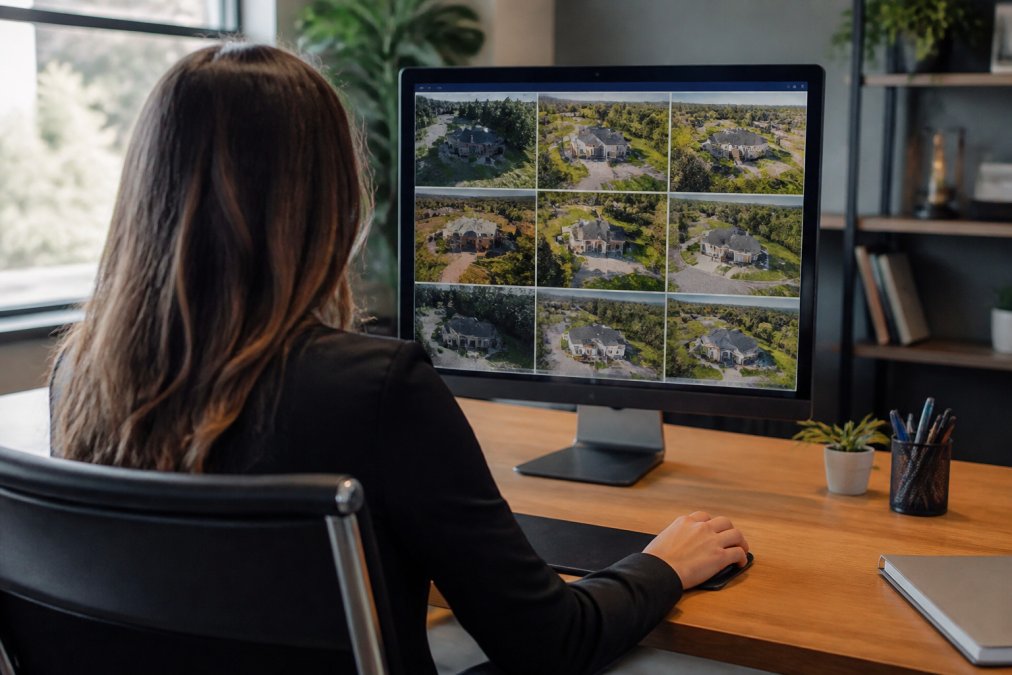
Properties marketed with professional aerial photography generate increased inquiry rates and faster sales cycles compared to ground-level imagery alone. Commercial buyers and tenants expect comprehensive property documentation, and aerial perspectives demonstrate professionalism and transparency that builds confidence in the transaction.
The visibility improvement translates directly to reduced time-on-market, which represents substantial savings for property owners. Extended marketing periods incur carrying costs, financing expenses, and opportunity costs that typically far exceed the drone photography cost investment.
Commercial properties with professional aerial documentation command better positioning on real estate platforms, attract more qualified leads, and close at higher valuations. The marketing advantage justifies the service investment when evaluated against the transaction value and reduced carrying costs.
For investment properties, the ability to showcase site layout, parking capacity, surrounding infrastructure, and property context through aerial imagery accelerates investor decision-making. Institutional investors particularly value comprehensive aerial documentation because it demonstrates professional property management and marketing sophistication.
The ROI calculation becomes clearer when you consider that professional drone photography cost typically represents a fraction of one percent of the property transaction value, while the marketing benefits often translate to measurable improvements in sale price or lease terms.
Video vs. Photo Costs for Commercial Real Estate
Commercial real estate clients often compare still photography to video services when evaluating drone photography cost. Understanding the differences helps you choose the format that best serves your marketing objectives.
Aerial photography typically involves capturing high-resolution still images from multiple angles, with post-production limited to color correction, cropping, and file optimization. This approach delivers cost-effective visual documentation suitable for MLS listings, property websites, and marketing materials.
Drone videography requires extended flight time, more sophisticated camera work, and substantially more post-production effort. Video editing, color grading, audio mixing, and motion graphics all increase the service complexity and associated drone photography cost compared to still photography.
The marketing value proposition differs between formats. Still photography excels for quick property overviews and MLS presentation. Video content drives engagement on social platforms, creates memorable impressions, and tells property stories more effectively than static imagery.
Hybrid approaches, combining aerial video footage with extracted still frames, often represent the most cost-effective strategy for comprehensive commercial property marketing. This approach captures video content while generating multiple high-quality still images from the footage, optimizing value relative to drone photography cost.
Commercial properties marketed to institutional investors or luxury buyers increasingly expect video components. The production quality and storytelling capability of professional aerial video justifies the higher drone photography cost for properties where comprehensive marketing presentation influences buyer decisions.
Choosing the right drone photography provider for your commercial property requires balancing cost considerations against quality, experience, and the specific marketing objectives you're trying to achieve. Professional aerial imagery represents a strategic investment that influences buyer perception, transaction speed, and ultimately, property value.
At Gods Eye Drone, we deliver certified pilot expertise, state-of-the-art equipment, and comprehensive post-production capabilities that transform commercial properties into compelling marketing assets. Our veteran-owned team understands that commercial real estate drone photography cost reflects genuine value, experienced pilots, professional-grade equipment, insurance coverage, and production quality that positions your property competitively. Book Now to discuss your commercial property's aerial photography needs and receive a customized quote that reflects your specific requirements.
Frequently Asked Questions
What factors influence the cost of commercial real estate drone photography?
Several key factors affect pricing: property size and complexity, geographic location, equipment requirements, and turnaround time. Larger commercial properties with multiple buildings, rooftops, or specialized needs like thermal imaging or 3D walkthroughs typically cost more. Market demand in your area and the drone pilot's experience level also play a role. Weather conditions, flight planning complexity, and post-production editing requirements add to the final cost. Request a detailed quote that breaks down these variables for your specific project.
Do I need an FAA Part 107 drone pilot certification for commercial property photography?
Yes. Any drone operation for commercial purposes, including real estate photography, inspections, or videography, requires the pilot to hold an FAA Part 107 certification. This federal requirement ensures pilots understand airspace regulations, safety protocols, and liability. Hiring a certified drone pilot protects you legally and guarantees professional-grade work. Always verify your drone service provider's Part 107 credentials and insurance coverage before booking.
How much does drone inspection service pricing typically run for commercial properties?
Drone inspection pricing depends on project scope, property size, and inspection type. Standard roof or structural inspections typically fall into a tiered pricing model based on property square footage and complexity. Specialized inspections using thermal imaging, multispectral analysis, or high-resolution documentation cost more due to equipment and post-production requirements. Contact providers for custom quotes tailored to your specific inspection needs and timeline.
What's included in a standard real estate drone photo package?
Standard packages typically include aerial photography of the property exterior, grounds, and surrounding area, plus basic post-production editing like color correction and image enhancement. High-resolution images suitable for listing websites and marketing materials are standard. Many providers offer different tiers: basic photography only, photography with light editing, or premium packages that include videography, 3D walkthroughs, or extended editing. Ask your provider what's included at each level before committing.
Is aerial photography worth the cost for real estate marketing?
Yes, for most commercial properties. Aerial photography provides a unique perspective that showcases property size, layout, surrounding area, and amenities, details that ground-level photos cannot capture. Properties with aerial imagery typically generate more buyer interest and can command higher asking prices. For residential agents managing multiple listings, drone services create competitive advantages. Calculate ROI by comparing increased inquiry rates and faster sale times against the service cost to justify the investment.
This article was written using GrandRanker