Gods Eye Drone Blog
Gods Eye Drone is a veteran-owned, full-service drone company providing high-quality aerial photography, videography, and specialized inspection services. Utilizing state-of-the-art technology, including advanced FLIR equipment, we deliver precise results for real estate, agriculture, weddings, and critical search and rescue operations. Our certified pilots are dedicated to providing a higher perspective and unmatched aerial intelligence for every project. Whether you need detailed infrastructure inspections or professional event coverage, we are committed to excellence and delivering results that matter.
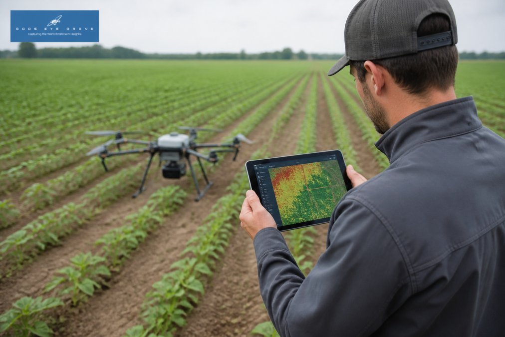
How to Interpret Multispectral Drone Data for Crops
Learn how to interpret multispectral drone data for crops. Understand NDVI vs NDRE, processing workflows, and software to turn imagery into field.
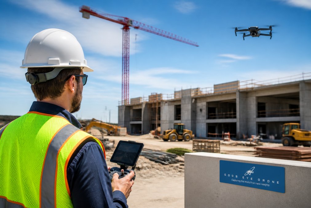
Best Drone Inspection Services for Construction Projects
Find the best drone inspection services for construction projects in 2026. Compare providers, costs, and thermal imaging for building inspections. Get.
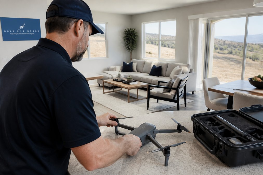
How to Prepare Property for Drone Photography
Learn how to prepare property for drone photography with this step-by-step guide covering staging, FAA rules, and timing. Get your listing ready.
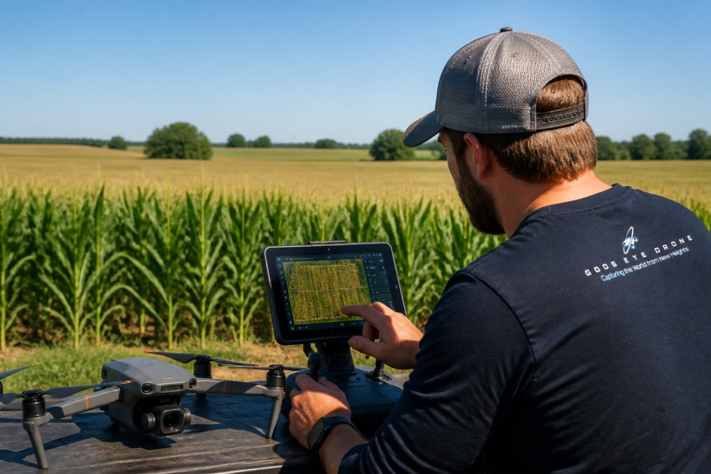
How to Optimize Corn Yield with Multispectral Drone Imaging
Learn how to optimize corn yield with multispectral drone imaging. Explore NDVI vs NDRE, flight planning, and variable rate application for better crops.
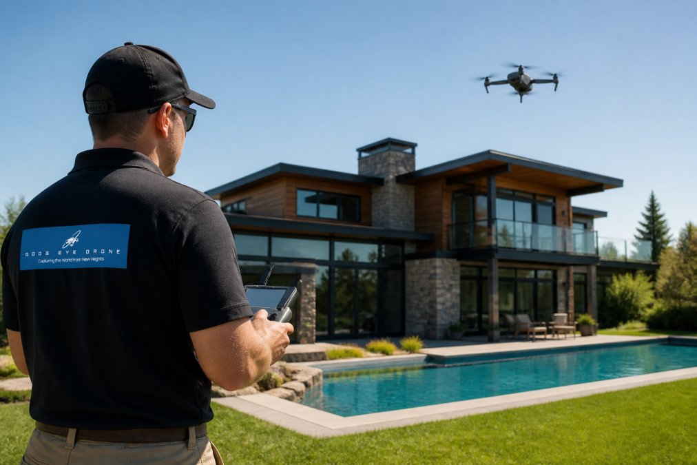
How Long Does Drone Real Estate Photography Take?
Discover how long drone real estate photography takes from pre-flight prep to final delivery. Learn what affects turnaround time and get a realistic.
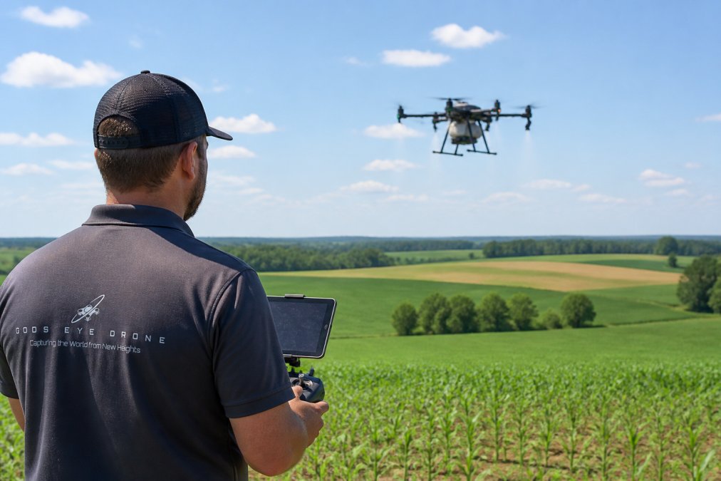
How Drones Help With Variable Rate Application
Discover how drones help with variable rate application, from multispectral mapping to drone-based nitrogen application. Learn the steps, sensors, and ROI.
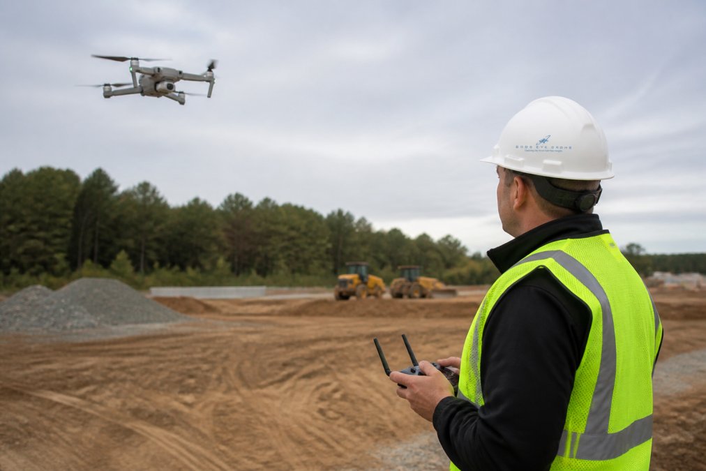
Aerial Site Survey Accuracy: What It Is and How It Works
Learn what aerial site survey accuracy means, from GCPs and RTK to error margins and validation. Explore how to improve drone mapping accuracy today.
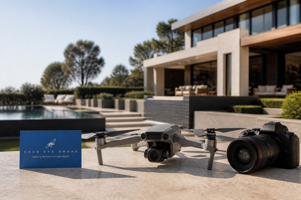
7 Benefits of Drone Video for Luxury Real Estate
Discover 7 benefits of drone video for luxury real estate, from showcasing estates to boosting buyer engagement. Learn best practices and pricing here.
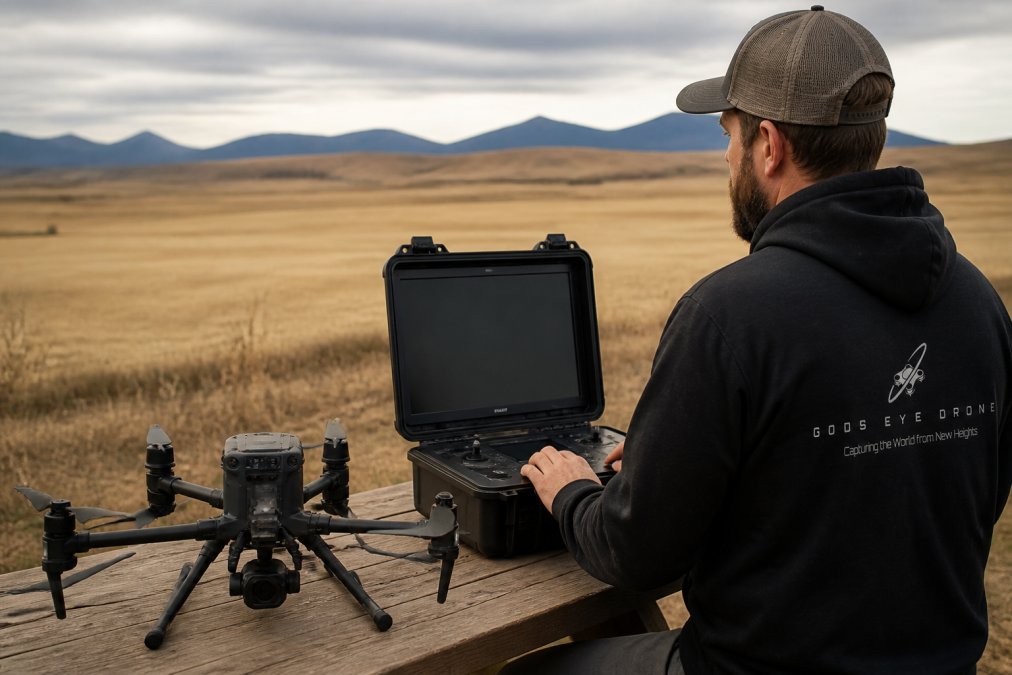
How Long Does Drone Mapping Take for 100 Acres?
Drone mapping 100 acres takes 1-3 flight hours plus 8-12 hours of processing. Discover the real timeline, costs, and planning tips to speed it up.
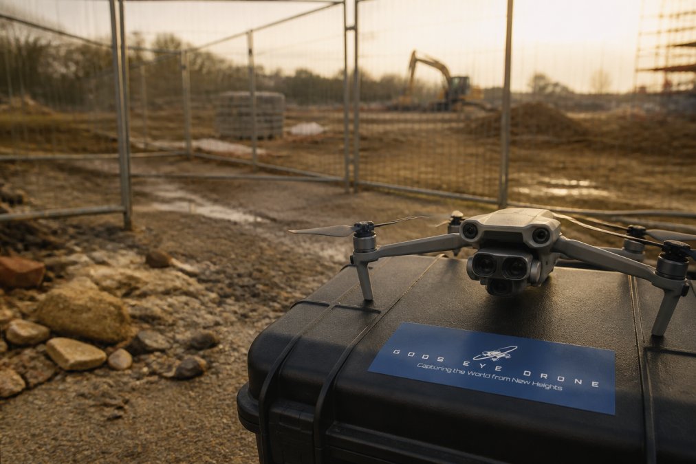
Mitigate Drone Site Monitoring Risks: 7-Step Plan
Learn to mitigate drone site monitoring risks with a 7-step plan covering Part 107 compliance, collision avoidance, and data security. Start your risk.
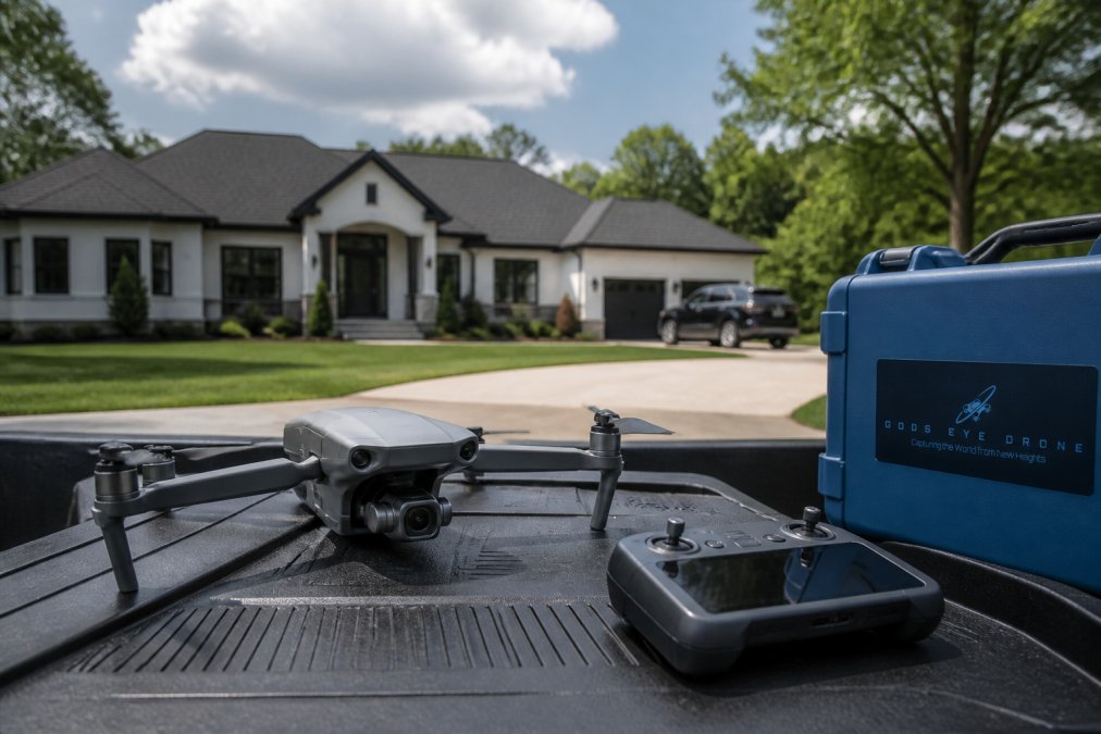
Alternatives to DIY Drone Photography for Listings
Explore alternatives to DIY drone photography for listings, from hiring certified pilots to AI tools. Compare costs, quality, and FAA rules. Find the.
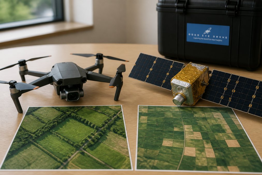
Drone vs Satellite Imagery for Crop Health: Full Comparison
Compare drone vs satellite imagery for crop health monitoring. Explore resolution, cost, NDVI data, and when each technology works best for your farm.