 how-to
How Long Does Drone Real Estate Photography Take?
Table of Contents
- What Determines How Long Drone Real Estate Photography Takes
- On-Site Flight Time vs. Total Project Time
- Pre-Flight Preparation: The Time Most People Overlook
- FAA Part 107 Requirements for Real Estate and How They Affect Your Timeline
- Factors That Influence Shoot Duration and Project Scope
- Real Estate Drone Photography Turnaround Time: From Shoot to Delivery
- Managing Client Expectations and Communication
- Frequently Asked Questions
Last Updated: September 12, 2026
What Determines How Long Drone Real Estate Photography Takes
A standard residential drone shoot runs about 90 minutes to 3 hours of total project time, though the actual flight time is often just 30 to 45 minutes of that window. The gap between those two numbers is where most client confusion lives. This guide breaks down exactly where the hours go, from site scouting to final asset delivery, so you can plan your listing timeline with confidence. This guide breaks down exactly where the hours go, from site scouting to final asset delivery, so you can plan your listing timeline with confidence.
Drone real estate photography is the practice of capturing aerial stills and video of a property using a licensed remote pilot, then editing those files into listing-ready assets. The flight itself is only one step in a longer pipeline.
Most people assume the drone goes up, the shutter clicks, and the job is done. That assumption costs agents time and money. Below, we'll walk through the real timeline, including the pre-flight work, editing hours, and FAA requirements that shape every project.
On-Site Flight Time vs. Total Project Time
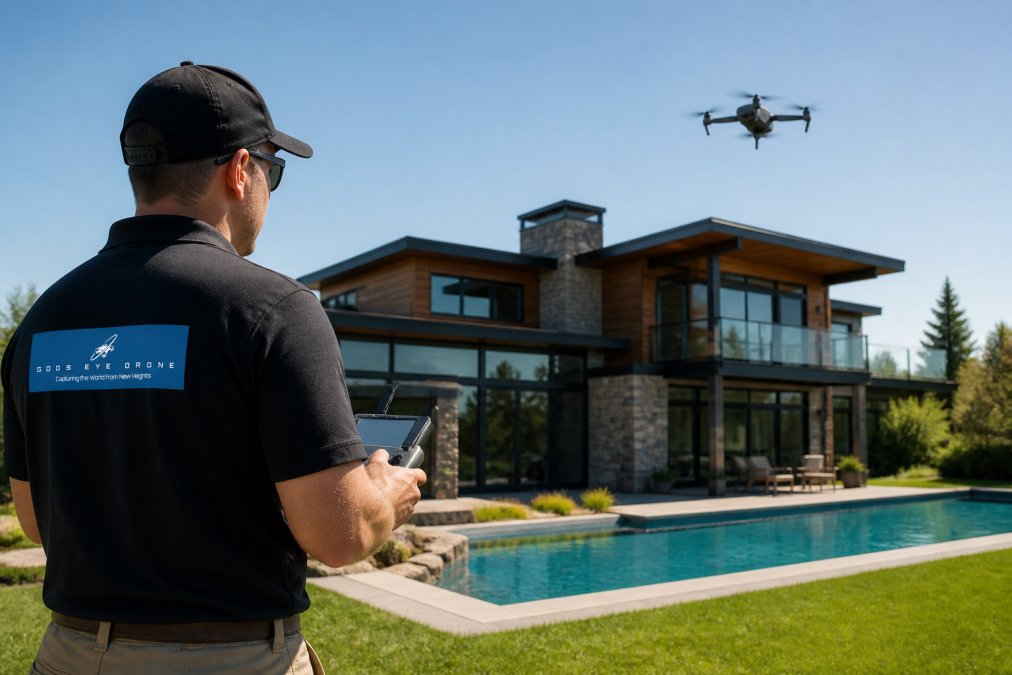
On-site flight time is the minutes the drone is actually airborne. Total project time includes travel, setup, flight, pack-down, editing, and delivery. For a typical single-family listing, expect roughly 30 to 45 minutes of flight across 2 to 3 battery cycles.
The distinction matters because clients often book based on flight time and then wonder why the invoice reflects a longer window. A common mistake is comparing a drone quote to a ground photographer's session length without accounting for the aerial workflow's extra steps.
Here's how a standard residential project breaks down:
- Site scouting and shot planning: 15-20 minutes
- Travel and setup: 20-30 minutes
- Flight time across battery cycles: 30-45 minutes
- Pack-down and on-site review: 10-15 minutes
- Editing and delivery: 60-120 minutes
That adds up to a half-day of work for a 45-minute flight. Knowing this upfront keeps expectations aligned.
Pre-Flight Preparation: The Time Most People Overlook
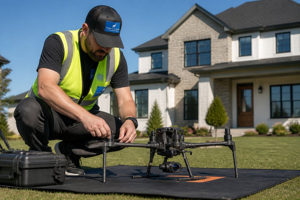
Pre-flight preparation is the single most underestimated phase of a drone real estate shoot. It covers site scouting, airspace checks, weather review, and shot list planning, and it typically adds 30 to 60 minutes before the drone ever leaves the case.
Preparing a Property for Aerial Photography
Preparing a property for aerial photography means staging the exterior, clearing vehicles from the driveway, and confirming that trees, power lines, and neighboring structures won't block key angles. Skipping this step is the fastest way to burn through batteries on reshoots.
A practical pre-shoot checklist:
- Park all vehicles off the driveway and out of the front yard
- Close garbage bins and store yard equipment
- Confirm pool covers, patio furniture, and landscaping are presentation-ready
- Note any low-hanging branches near the flight path
- Verify the homeowner or agent will be on-site for access
FAA Part 107 Requirements for Real Estate and How They Affect Your Timeline
FAA Part 107 requirements for real estate work mean every commercial flight must be conducted by a certified remote pilot operating under the small unmanned aircraft rule. This affects your timeline because airspace authorization, weather checks, and pre-flight documentation all take time before the drone launches.
Most residential neighborhoods fall under Class G airspace where no authorization is needed, but properties near airports, stadiums, or controlled airspace require advance coordination. According to the FAA's Small Unmanned Aircraft Systems regulations, commercial drone operators must hold a Remote Pilot Certificate and follow operating limits including a maximum altitude of 400 feet.
What this means in practice: if your listing sits near a controlled airport, build an extra day or two into the schedule for authorization. A reputable operator will flag this during booking, not the morning of the shoot.
Factors That Influence Shoot Duration and Project Scope
Property size, complexity, and environmental constraints are the three biggest variables that stretch a shoot from a quick 90-minute job into a full-day project. A 1,200-square-foot ranch home on a flat lot moves fast. A 6,000-square-foot estate on wooded acreage with a pool, guest house, and detached garage does not.
The reason is mechanical, not arbitrary. Every distinct feature you want captured, a pool, a detached workshop, a long driveway, a water feature, a solar array, requires its own orbit, its own gimbal angle, and often its own battery cycle. Flight time scales with the number of discrete subjects, not just the square footage of the structure.
Property Size, Complexity, and Environmental Constraints
Larger properties require more battery cycles, more angles, and often a second visit if the first pass misses key features. Environmental constraints like wind, rain, and low cloud ceilings can ground a flight entirely.
A more useful way to estimate is by lot acreage and feature count, not just home square footage:
| Property Profile | Lot Size | Typical Flight Time | Total Project Time |
|---|---|---|---|
| Compact suburban ranch, no pool | Under 0.25 acre | 20-30 min | 90 min-2 hours |
| Standard two-story, fenced yard | 0.25-0.5 acre | 30-45 min | 2-3 hours |
| Executive home with pool and outbuilding | 0.5-1 acre | 45-60 min | 3-4 hours |
| Luxury estate, multiple structures | 1-3 acres | 60-90 min | 4-6 hours |
| Rural acreage, barns, water features | 3+ acres | 90-150 min | 6-8+ hours |
Three drivers push a project up that table faster than square footage alone:
- Feature count. Each additional structure or amenity adds roughly 8-15 minutes of flight and matching edit time.
- Lot layout. A wooded lot with a long setback forces multiple launch positions and line-of-sight planning, since the pilot must keep the aircraft within visual range at all times.
- Access and staging. Gated properties, steep driveways, or lots with no clear launch pad add setup minutes before the first battery even goes in.
Weather delays are the wildcard. Wind above roughly 20 mph, active precipitation, or a cloud ceiling that blocks the intended altitude will ground a flight. A common approach is to schedule shoots with a buffer day built in, especially during storm season, and to confirm the operator's reschedule policy in writing.
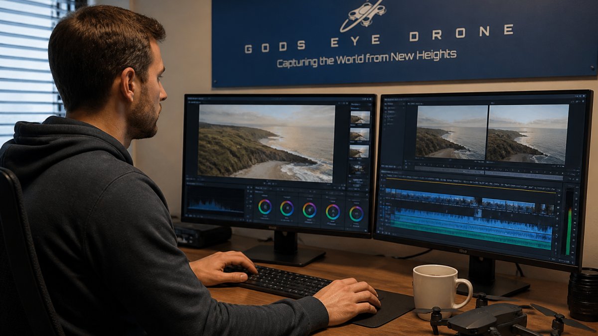
How Property Complexity Changes the Editing Load
Flight time is only half the scaling story. More features mean more images to cull, more brackets to blend, and more clips to sequence. A 40-image luxury package can take two to three times longer to edit than a 15-image standard package, even though the flight only doubled. That is why total project time grows faster than flight time as a property gets more complex, and why a quote built purely on flight minutes will almost always understate the real workload.
Real Estate Drone Photography Turnaround Time: From Shoot to Delivery
Real estate drone photography turnaround time typically runs 24 to 72 hours from shoot to final delivery, depending on the asset package and the editor's queue. Standard listing photos usually land within 24 to 48 hours. Video tours and cinematic edits take longer.
Most guides stop at that range. The more useful question is what actually happens during those hours, because the editing stage is where turnaround is won or lost, and it breaks down very differently by asset type.
Editing Time Breakdown by Asset Type
Editing time scales with the complexity of the deliverable, and each asset type runs through a different pipeline:
- Standard stills (10-20 images): 45-90 minutes. Culling, exposure correction, lens-profile correction, and batch color grading. The fastest stage because the work is largely uniform.
- HDR bracketed stills: 2-3 hours. Each final image is blended from three to five exposures, then window pulls are done by hand to recover interior views through glass. This is the single biggest time sink in residential photo work.
- Short video tour (30-60 sec): 2-4 hours. Clip selection, stabilization, music sync, and title cards.
- Full cinematic video (2-3 min): 4-8 hours. Adds color grading, speed ramps, sound design, and often a licensed music track.
- 3D mapping or floor plan generation: 1-4 hours. Photogrammetry or LiDAR capture must be processed into a navigable model, then stitched to the floor plan. This is a distinct workflow from photo and video editing and is frequently quoted as a separate line item.
- Multispectral or inspection imagery: varies by analysis depth, since the deliverable is a report rather than a finished image.
The pattern to notice: photo editing is batchable, video editing is sequential, and mapping is compute-bound. That is why a package with stills plus video plus a floor plan does not simply add the three times together, the editor can run photo batches while a mapping model processes in the background.
What Actually Drives the Delivery Window
Three variables set the clock more than raw edit time:
- Queue position. A solo operator shooting two to three properties a day edits in the evening; a studio with a dedicated editor can turn photos the same day.
- Revision rounds. One round of client notes is standard. Each additional round adds roughly half a day.
- Asset interdependency. If the video needs the final stills for thumbnail frames, the video cannot finish until the photos are approved.
Expedited services exist for agents on tight timelines, but they compress the editing window, not the flight or preparation time. If a listing goes live in 24 hours, the realistic lever is a smaller asset package, not a faster edit.
When weather grounds a flight, the standard industry approach is to reschedule at no additional cost rather than deliver compromised footage. Confirm this policy in writing before booking.
National Association of Realtors guidance on aerial imagery in listings
Managing Client Expectations and Communication
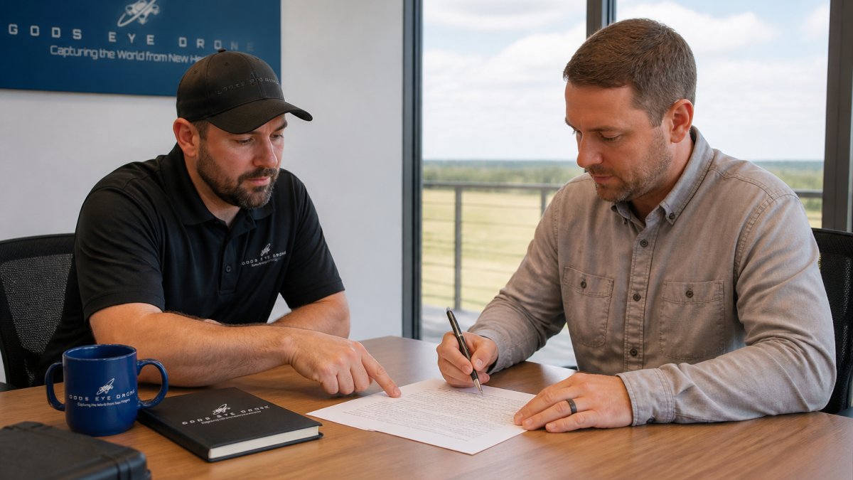
Client communication is what separates a smooth project from a stressful one. Setting clear expectations about timeline, weather contingencies, and deliverable formats before the shoot prevents most disputes.
A practical framework for every booking:
- Confirm the shot list and asset package in writing
- Share the weather contingency policy upfront
- Provide a delivery window with a specific date, not "a few days"
- Send a preview image within 24 hours to confirm direction
- Deliver final assets with clear file naming and usage rights
When weather grounds a flight, the standard industry approach is to reschedule at no additional cost rather than deliver compromised footage. Confirm this policy in writing before booking.
National Association of Realtors guidance on aerial imagery in listings
Real estate timelines are unforgiving, and a drone shoot that runs long or delivers late can push back your entire listing schedule. Gods Eye Drone handles the full workflow, from Part 107-compliant flight planning to edited, listing-ready assets, using certified pilots and state-of-the-art equipment including advanced FLIR technology for inspection work. Our veteran-owned team delivers aerial photography, cinematic video tours, and precise inspection imagery with turnaround windows built around your listing calendar. Get started with Gods Eye Drone and put a certified crew on your next property.
Frequently Asked Questions
How long does a typical drone real estate photo shoot take?
A standard residential property shoot takes 30 to 60 minutes on-site. This includes setup, flight time, and capturing multiple angles of the home and surrounding lot. Larger properties, luxury estates, or those requiring video tours can take 90 minutes or more. Total project time from booking to delivery is typically 3 to 7 business days, depending on scheduling, weather, and editing workload.
Does adding video to a drone shoot significantly increase the time on-site?
Yes. Adding aerial videography to a drone real estate photography session typically doubles or triples on-site time. A photo-only shoot might take 30 minutes, while photo plus video can run 60 to 90 minutes. Video requires multiple flight passes for smooth footage, plus additional post-processing for color grading and editing. Plan for a longer session and a later delivery schedule if you need video tours.
What factors influence the duration of a drone photography session?
Key factors include property size and complexity, the number of listing assets needed (photos, video, 360 tours), weather conditions, and airspace restrictions. Site scouting and flight planning add pre-flight time. Battery management also matters; each drone battery lasts 20 to 30 minutes, so larger projects require multiple battery swaps. Client communication and expectation management before the shoot can reduce delays on-site.
Do I need a license to fly a drone for real estate photography?
Yes. Under FAA Part 107 requirements for real estate, any commercial drone operation, including real estate photography, requires a Remote Pilot Certificate. The pilot must pass an aeronautical knowledge test and follow operational rules such as flying below 400 feet, maintaining visual line of sight, and avoiding manned aircraft. Hiring a certified drone pilot ensures compliance and can prevent legal issues for your listing marketing.