 listicle
Alternatives to DIY Drone Photography for Listings
Table of Contents
- The Hidden Costs of DIY Drone Photography
- Option 1: Hire a FAA Part 107 Certified Pilot
- Option 2: Professional Real Estate Photography Pricing and Services
- Option 3: Aerial Photography vs 3D Virtual Tours
- Option 4: Advanced DIY Drones and Software
- DIY vs. Professional: A Cost-Benefit Analysis
- What About AI-Generated Aerial Perspectives?
- Conclusion: Choosing the Best Path for Your Listings
- Frequently Asked Questions
Last Updated: September 6, 2026
The decision to buy a drone for your real estate business feels logical until you add up the hours, the gear, and the regulatory maze. While the upfront cost of a consumer drone looks appealing, the true expense of DIY aerial work often surfaces in missed shots, editing time, and compliance headaches.
The Hidden Costs of DIY Drone Photography
Most agents underestimate what professional-looking aerial photography requires. The drone is just the beginning: a capable camera system, multiple batteries, editing software, and the hours to learn each piece. A common mistake is buying a sub-250 gram consumer drone thinking it sidesteps regulation, then discovering that commercial use still triggers FAA Part 107 certification requirements for any flight tied to your business (faa.gov).
Beyond the hardware, consider the opportunity cost. Every hour spent learning flight patterns, processing images, and re-shooting a bad angle is an hour away from client communication and showings. The FAA treats any flight that furthers a business purpose as commercial drone operation, requiring a knowledge test and a remote pilot certificate. Add insurance, and the "cheap" DIY route starts looking less economical.
Option 1: Hire a FAA Part 107 Certified Pilot
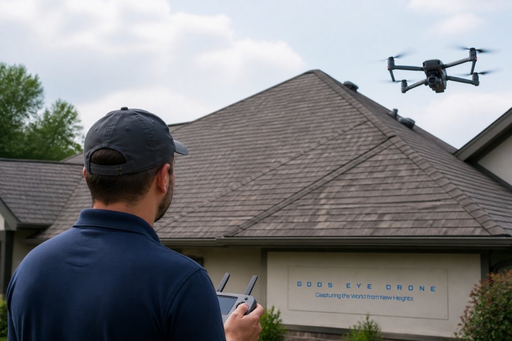
Hiring a certified pilot removes the steepest hurdles: licensing, insurance, and flight proficiency. A FAA Part 107 certified pilot has passed the federal knowledge exam, understands airspace restrictions, and carries liability coverage that protects you if something goes wrong on the property.
The practical benefit is speed. A professional arrives with the right equipment, captures the listing visuals efficiently, and delivers edited files ready for the MLS. For agents with 15 to 20 listings a month, outsourcing prevents a bottleneck in your marketing pipeline. The per-listing cost is higher than DIY, but the consistency and polish often justify the expense, especially for high-value properties.
Option 2: Professional Real Estate Photography Pricing and Services
Professional real estate photography pricing varies widely based on property size, location, and deliverable complexity. Most full-service providers bundle travel, shooting time, and post-production into a per-project fee. You are paying for outcomes, not hours.
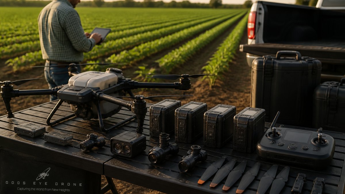
What separates a professional service from a hobbyist with a drone is the workflow. Professionals use gimbal-stabilized cameras, plan shots around lighting conditions, and handle the post-processing that transforms raw captures into marketable images. For luxury listings or properties with acreage, the return on investment shows up in faster offers and stronger buyer interest. Gods Eye Drone offers this level of service, with certified pilots and state-of-the-art technology, including advanced FLIR equipment for specialized inspections.
Option 3: Aerial Photography vs 3D Virtual Tours
Aerial photography and 3D virtual tours serve different purposes, but the strongest listings often combine both. Aerial photography provides the context: the neighborhood, the lot size, the proximity to amenities. A 3D virtual tour delivers the interior experience, letting buyers walk through the home remotely. Comparing aerial photography vs 3D virtual tours is less about choosing one and more about sequencing them for maximum impact.
The decision hinges on your market. For suburban homes with large yards, aerial shots highlight the property's footprint. For condos or townhomes, the interior tour often carries more weight. Budget-conscious agents might start with aerial photography since it requires fewer deliverables, then add virtual tours for listings above a certain price threshold.
Option 4: Advanced DIY Drones and Software
If you decide to fly your own missions, the equipment tier matters. Advanced DIY drones and software can produce professional-grade results, but the investment is substantial. The hardware is only half the equation; the software subscription trap is where many agents bleed money.
Top Consumer Drone Models for Real Estate
| Drone Model | Starting Price | Key Strengths | Regulatory Note |
|---|---|---|---|
| DJI Mini 4 Pro | $759 | Sub-250g, portable, True Vertical Shooting | Lighter registration burden |
| DJI Air 3S | $1,099 | Dual-camera, 1-inch CMOS sensor, low-light strength | Part 107 required for commercial use |
| DJI Mavic 3 Pro | $2,199 | Triple-camera with Hasselblad, 43-min flight time | Part 107 required for commercial use |
| Autel EVO Series | $1,500 | High-res sensors, no restrictive geofencing | Part 107 required for commercial use |
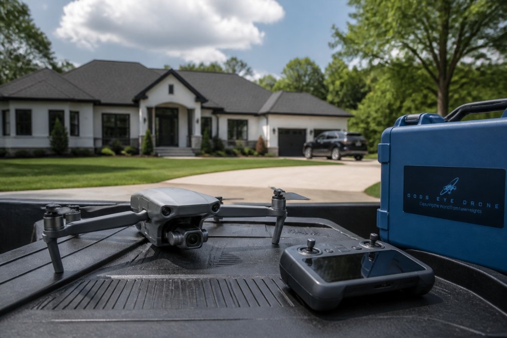
The DJI Mini 4 Pro appeals to beginners because its sub-250 gram weight simplifies registration. However, the smaller sensor limits low-light performance compared to the DJI Air 3S, which offers a 1-inch CMOS sensor for superior image quality. For agents who need versatility, the DJI Mavic 3 Pro delivers triple-camera flexibility with professional color science, but the price point approaches what you would pay for dozens of professional shoots.
The Software Subscription Trap
The hardware purchase is the visible cost. The invisible one is software. Mapping and photogrammetry platforms like DroneDeploy start around $329 per month, and Pix4D runs about $350 per month. These tools turn raw footage into 2D maps and 3D models, which sounds essential until you calculate the annual expense against your listing volume.
A subscription that costs several hundred dollars monthly demands a high volume of listings just to break even. Most agents find that a handful of aerial shoots per month does not justify the recurring fees, especially when professional services bundle the processing into the project price.
The License-Free Alternative: Pole and Mast Photography
Before committing to a drone purchase, consider the non-drone aerial alternative that sidesteps FAA Part 107 entirely: pole photography. A carbon-fiber extension pole with a mounted camera, often a mirrorless body or a high-end smartphone, can reach heights of 20 to 40 feet, enough to capture a home's roofline, the full front facade, and the lot's depth from a slightly elevated perspective.
The regulatory advantage is decisive for many agents. If the camera is mounted on a pole that you hold or brace on the ground, the flight does not occur. The FAA's Part 107 rules apply to aircraft operation, not to a camera on a stick (ecfr.gov). This means no remote pilot certificate, no registration, and no airspace restrictions for the shot itself. The practical limits are reach and angle, you cannot capture a 200-foot bird's-eye view of a 10-acre estate, but for standard suburban lots, pole photography delivers a professional look at a fraction of the cost.
Professional-grade pole systems typically run between $400 and $1,200 for the pole, head mount, and remote triggering gear. Add a used mirrorless camera with a wide-angle lens, and the total investment lands near $1,500 to $2,500. Compare that to a DJI Mavic 3 Pro at $2,199 plus batteries, plus a $175 Part 107 test fee, plus annual recertification costs, and the pole route becomes financially attractive for agents who only need elevation for a single-family home listing.
The trade-off is workflow. Pole photography requires physical setup at each angle, and you are limited by your own arm strength and the pole's rigidity in wind. But for agents who want aerial-style context without the regulatory overhead, this is the quiet workhorse of the industry. Most professional real estate photographers keep a pole kit in their vehicle for quick exterior shots, reserving drone flights for large acreage or commercial properties.
When the Pole Is Not Enough: The Case for a Drone
Pole photography has a ceiling, literally. For properties with significant acreage, complex rooflines, or waterfront boundaries, the drone's ability to fly 100 to 400 feet away from the operator provides a perspective no pole can match. The drone also captures video flyovers, which are increasingly expected for luxury listings. If your market demands true aerial video, the pole will not replace the drone.
DIY vs. Professional: A Cost-Benefit Analysis
The honest comparison comes down to use. If you shoot aerial content weekly, the DIY route spreads the fixed costs of equipment and software across many projects. If you list a few properties per month, the math favors hiring a professional.
DIY costs include the drone, spare batteries, software subscriptions, training time, and the risk of re-shoots. Professional services shift those burdens to a vendor who delivers a finished product. The hidden variable is your time. An agent billing their hours against client work will find that outsourcing preserves revenue-generating activity. Commercial drone operation without Part 107 certification carries penalties, and insurance gaps expose you to liability if an incident occurs on a listing.
What About AI-Generated Aerial Perspectives?
AI enhancement tools have improved dramatically, but they cannot replace the physical capture of an aerial perspective. AI can sharpen images, remove objects, and even generate synthetic angles from existing photos. What it cannot do is provide the true elevation and context that a drone captures from 200 feet above a property.
The practical limitation is trust. Buyers want to see the actual roof condition, the true lot boundaries, and the real sightlines. An AI-generated perspective that fabricates or alters these details crosses into misrepresentation. For marketing purposes, AI works best as a post-processing aid, not a substitute for flight. Professional services already use AI enhancement to refine images, but the source material comes from real captures.
How AI Simulation Tools Actually Work
The emerging category of AI aerial simulation does not invent a bird's-eye view from nothing. Instead, these tools use photogrammetry and neural radiance fields to reconstruct a 3D scene from ground-level photos taken from multiple angles. The software then renders a synthetic camera path that mimics a drone's flight trajectory. The output is a convincing aerial-style view, but it is a reconstruction, not a capture.
Platforms in this space, such as Luma AI and Polycam, offer consumer-grade 3D capture that can process a property from a walking tour of 50 to 200 photos. Paid plans typically range from $30 to $100 per month for enough credits to process several properties. The catch is the capture quality: the software requires consistent lighting, overlapping images, and a slow, methodical walk around the exterior. Miss an angle, and the reconstruction shows gaps or warped geometry.
When AI Simulation Makes Sense
For a vacant lot, a simple single-story home, or a property where the exterior is straightforward, AI simulation can produce a usable aerial-style image without a drone. The cost is low, the regulatory burden is zero, and the turnaround is measured in hours rather than days. Some agents use this approach for preliminary marketing teasers before commissioning a professional shoot for the final listing.
The more complex the property, the faster AI simulation breaks down. Multi-story homes with overhangs, properties with dense tree cover, and any structure with significant depth or irregular rooflines will produce artifacts, blurred edges, floating geometry, or distorted rooflines, that a buyer will notice immediately. The reconstruction also struggles with reflective surfaces like windows and pools.
The Misrepresentation Risk
There is a legal dimension that most AI tool marketing glosses over. Real estate listings are subject to truth-in-advertising standards enforced by state real estate commissions and, in some cases, the Federal Trade Commission. If an AI-generated aerial view inaccurately depicts the property's size, condition, or surroundings, the agent could face a complaint for misleading advertising (the FTC). A drone capture is a factual record of what exists; an AI reconstruction is an interpretation.
The Verdict on AI as an Alternative
AI simulation is not a replacement for drone photography for most residential listings. It is a supplementary tool for quick previews or for agents who cannot justify any aerial investment. The technology improves monthly, but the accuracy bar for real estate marketing is high, and the cost of a misrepresented listing far exceeds the savings on a drone or a professional pilot. For now, the honest path remains: hire a certified pilot for the final shoot, and use AI tools only where they enhance, not fabricate, the visual story.
Conclusion: Choosing the Best Path for Your Listings
The right choice depends on your volume, your tolerance for regulatory complexity, and the standard of visual quality your listings demand. DIY drone photography works for agents with high listing volume and the time to master both flight and editing. Everyone else should consider hiring a certified professional who delivers consistent, compliant results without the equipment overhead. Gods Eye Drone offers certified pilots, state-of-the-art technology, and a veteran-owned commitment to precise results for real estate and property marketing. Book Now to see how professional aerial work elevates your next listing.
Frequently Asked Questions
Do I need a license to fly a drone for real estate photography?
Yes. For commercial use, including marketing a property you are paid to sell, the FAA requires a Remote Pilot Certificate under Part 107. This involves passing a knowledge test at an FAA-approved testing center. Flying without certification can result in significant fines and legal liability, which is a key reason many agents choose to hire a certified pilot instead.
What do realtors pay for drone photography?
Professional real estate photography pricing varies based on property size, location, and the number of deliverables, such as still photos or video. Hiring a professional service is a per-project cost that covers the pilot, equipment, insurance, and editing. While the upfront cost is higher than a DIY drone, it eliminates the need for a $1,000+ drone purchase, ongoing software subscriptions, and your own time.
Is it more cost-effective to hire a professional or invest in DIY drone equipment?
For most agents, hiring a professional is more cost-effective. The initial investment in a capable drone like the DJI Mavic 3 Pro is over $2,000, and you still face costs for FAA Part 107 certification, insurance, editing software, and your flight time. Professional services bundle all these elements into a single project fee, ensuring consistent quality and freeing you to focus on your clients.
What are the risks of using unlicensed drone operators for property listings?
Using an unlicensed operator puts you in legal jeopardy. The FAA can fine the operator, but the real estate agent who hired them can also face liability for encouraging a commercial operation without Part 107 certification. Furthermore, if the drone crashes and damages property, your client's insurance may not cover the claim, leaving you responsible for the costs and potentially harming your professional reputation.
Are 3D virtual tours a better investment than aerial photography?
Aerial photography and 3D virtual tours serve different purposes. Aerial photos provide context about the property's location, lot size, and proximity to amenities, creating strong curb appeal. 3D virtual tours, like Matterport, allow buyers to walk through the interior. For the best marketability, use both: aerial photography to attract attention and a virtual tour to convert that attention into a showing.
Getting polished aerial visuals for your listings does not require owning a drone, passing the Part 107 exam, or managing another software subscription. Gods Eye Drone handles the flight, the editing, and the compliance so you can focus on selling the property. Our certified pilots and advanced FLIR equipment deliver the higher perspective your marketing needs. Get started with Gods Eye Drone and put your next listing above the competition.