 how-to
How Long Does Drone Mapping Take for 100 Acres?
Table of Contents
- The Short Answer: Flight Time vs. Total Project Time
- What You'll Need Before You Fly
- Step 1: Calculate Your Flight Path and Battery Swaps
- Step 2: Drone Mapping Flight Planning Best Practices
- Step 3: Collecting Data in the Field
- Step 4: Drone Photogrammetry Processing Time
- Factors That Slow Down Your Survey
- What About Drone Survey Cost Per Acre?
- Frequently Asked Questions
Last Updated: September 8, 2026
The Short Answer: Flight Time vs. Total Project Time
Drone mapping is a two-phase process, and conflating the two is the most common source of timeline confusion. The actual flight time for 100 acres is roughly 30 to 60 minutes of active flying, but the total project time from site arrival to final deliverable typically spans several hours to a few days.
Clients asking "how long does drone mapping take for 100 acres" are usually really asking about their deadline. The gap between flight time and delivery time matters because data processing, not the aircraft, often becomes the bottleneck.
What You'll Need Before You Fly
Before any drone mapping project begins, you need the right hardware and mission parameters. A standard consumer drone without photogrammetry capabilities will not produce survey-grade results; you need a drone capable of flying a programmed grid pattern with a high-quality camera payload.
Your equipment checklist should include spare batteries, since 100 acres rarely fits in a single flight, plus ground control points (GCPs), flight planning software, and a rugged tablet or controller. A certified pilot who understands site topography and airspace regulations is the final requirement.
Step 1: Calculate Your Flight Path and Battery Swaps
Calculating flight time for drone mapping begins with your ground sampling distance (GSD) and overlap requirements. GSD determines how much ground each pixel covers, directly influencing flight altitude and image count; higher accuracy demands lower altitude, more images, and longer flight time.
For a 100-acre parcel at a typical 300 ft AGL with 70% frontlap and 60% sidelap, expect to capture roughly 2,000 to 2,500 images. Each image adds to both flight duration and the processing load later.
The Battery Swap Math Most Guides Skip
A typical 100-acre mapping mission requires 3 to 5 battery swaps, depending on your drone's endurance and wind conditions. But the time cost is not just the 30 seconds it takes to click a battery out and click a new one in. The full cycle looks like this:
- Return-to-home and landing: 1-2 minutes, depending on distance from the home point.
- Battery change: 30-60 seconds per swap.
- Propeller and gimbal check: 1 minute to confirm nothing shifted on landing.
- Relaunch and re-acquire the flight path: 2-3 minutes to get back to the exact point where the previous battery ended.
- Sensor warm-up and GPS re-lock: 30-60 seconds before the drone is ready to resume.
That adds up to 5-8 minutes of ground time per swap, not the 30 seconds most people assume. For 3 to 5 swaps on a 100-acre site, that is 15 to 40 minutes of non-flying time baked into your field day.
Charging Logistics on Site
If you are running multiple batteries, you need a charging strategy. Most mapping drone batteries take 60-90 minutes to recharge from empty, so a single charger cannot keep up with a 100-acre mission. You have three realistic options:
- Carry enough batteries for the whole mission (3-5 spares) and charge everything the night before. This is the most common approach for a one-day survey.
- Use a multi-battery charging hub powered by a generator or a 12V inverter in your vehicle. This lets you rotate batteries, but adds setup time and equipment weight.
- Plan a lunch break or mid-day pause to recharge a depleted set while you process GCP data or review early images.
Most practitioners find that carrying 4 to 6 total batteries eliminates the need for field charging on a 100-acre site. That is a $1,500 to $3,000 investment in spare batteries alone, which is why rental or turnkey services often make more sense for a single project.
Wind: The Silent Time Thief
Wind does not just reduce flight stability, it directly extends mission time. On a grid pattern with parallel transects, half your passes are upwind and half are downwind; the upwind passes can take 20-30% longer than calm-air estimates.
A practical rule: if sustained winds exceed 12-15 mph, add 15-20% to your total flight time estimate. If gusts exceed 20 mph, most certified pilots reschedule entirely, because image overlap degrades and you risk capturing blurry frames that force a re-flight.
| Mission Variable | Typical Value | Impact on Time |
|---|---|---|
| Flight altitude | 200-400 ft AGL | Lower altitude = more passes |
| Image overlap | 60-80% | More overlap = longer flight |
| Battery endurance | 20-30 min | Determines swap frequency |
| Wind conditions | 5-15 mph | Reduces effective flight speed by 10-20% |
| Battery swap cycle | 5-8 min per swap | 15-40 min total for 100 acres |
The Takeaway
Flight path calculation is not just about drawing parallel lines in software. It is about budgeting for the full mission cycle: transect time, turn-around time at each row end, battery swap ground time, and wind penalties. A 100-acre mission that looks like 45 minutes of pure flight on paper routinely becomes 90 minutes of field time once these factors are included.
Step 2: Drone Mapping Flight Planning Best Practices
Effective drone mapping flight planning best practices start with a pre-flight site assessment. Walk the perimeter to identify obstacles like power lines, tall trees, or structures, and check for temporary hazards such as construction equipment or livestock.
Set your flight parameters in mission planning software before you reach the field. Input the parcel boundary, choose your altitude based on the required GSD, and confirm the overlap settings. Verify that your planned flight path respects local airspace rules; the FAA guidelines for small unmanned aircraft operations require visual line of sight and appropriate authorization in controlled airspace.
A common mistake is skipping the weather check. High winds, precipitation, or low cloud ceilings can ground a mapping flight entirely, so review forecast conditions the morning of the survey.
Step 3: Collecting Data in the Field
Field collection begins with placing ground control points, which must be distributed across the survey area and measured with survey-grade GPS equipment. Setting GCPs for 100 acres takes 30 to 60 minutes, depending on terrain and crew size.
Once the GCPs are in place, the drone launches and executes the programmed flight path automatically while the pilot monitors battery levels and image capture rates. If the drone returns with gaps in coverage, you will need to fly supplemental passes before leaving the site.
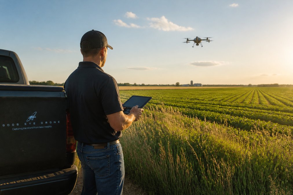
Battery management is the hidden time cost in the field. Each landing, battery swap, and relaunch cycle introduces a 5 to 10 minute interruption, adding 20 to 30 minutes of ground time for a 100-acre site.
Step 4: Drone Photogrammetry Processing Time
Drone photogrammetry processing time is where most project timelines expand unexpectedly. After the flight, hundreds of overlapping images must be stitched into an orthomosaic and point cloud, computationally intensive work, not a quick export.
Processing 100 acres typically generates 1,500 to 3,000 images. A capable desktop workstation with a modern GPU will process this volume in 4 to 8 hours; cloud-based services can reduce this to a few hours, though upload time adds overhead.
The Hardware Bottleneck Nobody Warns You About
Here is the reality check most articles skip: the computer you use for everyday office work will not handle this job. Photogrammetry software like Pix4D, Metashape, or DroneDeploy is built around GPU acceleration. The processing pipeline breaks down into distinct stages, each with different hardware demands:
| Processing Stage | What Happens | Primary Hardware Demand | Typical Time for 2,000 Images |
|---|---|---|---|
| Image alignment | Software finds common points between overlapping images | CPU and RAM | 30-60 minutes |
| Georeferencing | GCP coordinates are applied to align the model | CPU | 10-20 minutes |
| Dense point cloud generation | Software calculates 3D position for millions of points | GPU | 2-4 hours |
| Mesh and texture creation | Point cloud becomes a solid surface | GPU | 1-2 hours |
| Orthomosaic export | Stitched, georeferenced image is rendered | GPU and storage | 30-60 minutes |
A workstation with an NVIDIA RTX 3060 or better, 32 GB of RAM, and a fast NVMe SSD will handle this workload. A laptop with integrated graphics will take 3 to 5 times longer, or may crash entirely mid-process.
Why Cloud Processing Is Not Always Faster
Cloud services like DroneDeploy or Pix4Dcloud offload the computation to remote servers, but the catch is upload time. A 2,000-image dataset at 20 MB per image is 40 GB of data; on a typical 20 Mbps upload connection, that is over 4 hours before processing even begins.
If you have fiber upload speeds of 100+ Mbps, cloud processing can deliver results in 2-3 hours. If you are on cable or DSL, you may be better off processing locally while you drive home.
The Hidden Cost of Processing Errors
The processing workflow involves several stages: image alignment, georeferencing with GCPs, dense point cloud generation, mesh creation, and orthomosaic export. Each stage builds on the previous one, so errors discovered late require restarting from the affected stage.
The most common failure point is image alignment. If the drone flew too fast, captured blurry images, or the lighting changed mid-mission, alignment can fail or produce a warped model. Detecting this early matters: you do not want to discover a misaligned dataset after 3 hours of dense point cloud processing.
A practical workflow used by many surveyors is to run a quick alignment on a sample of 50-100 images in the field, before leaving the site. This takes 5-10 minutes on a laptop and confirms the data is usable, so you can re-fly the affected area immediately instead of scheduling a second site visit.
Storage and File Management
A 100-acre project does not just take time, it takes space. Raw images, the dense point cloud, the mesh, and the final orthomosaic can easily consume 100-200 GB of storage. The documentation on photogrammetric processing workflows outlines the full pipeline and its computational requirements, but the practical takeaway is to budget for storage before you start.
The Realistic Timeline
For a 100-acre project, here is what processing actually looks like on a properly equipped workstation:
- Same-day delivery: If you fly in the morning and have a strong GPU workstation, you can deliver a preliminary orthomosaic by late afternoon.
- Next-day delivery: If you fly in the afternoon, process overnight, and deliver the following morning, this is the most common turnaround for professional services.
- Multi-day delivery: If you are using a laptop with integrated graphics, or if the site has heavy vegetation or complex terrain that requires additional processing passes, plan for 2-3 days.
The National Weather Service aviation forecast guidance provides the ceiling and visibility data that pilots use to decide whether conditions are safe for a survey, but the processing timeline is entirely in your hands, and your hardware's hands.
Factors That Slow Down Your Survey
Several variables can extend a drone mapping project beyond the baseline estimate. Terrain is the most significant factor: steep slopes, dense vegetation, or highly reflective surfaces like water complicate both flight planning and image processing.
Weather and environmental constraints often cause the longest delays. Mapping requires consistent lighting and stable conditions. Cloud shadows can create processing artifacts, forcing a re-flight. The National Weather Service aviation forecast guidance provides the ceiling and visibility data that pilots use to decide whether conditions are safe for a survey.
Regulatory and legal downtime also affects scheduling. Airspace authorization requests, especially near airports or restricted zones, can take days to process, so factor this lead time into your project calendar.
What About Drone Survey Cost Per Acre?
Drone survey cost per acre is not a fixed number. Pricing depends on parcel size, terrain difficulty, required accuracy, and deliverable complexity. A simple 100-acre flat agricultural field costs less per acre than a 10-acre wooded construction site requiring high-resolution topographic mapping.
Most providers price by the project rather than strictly by acreage, because fixed costs like mobilization, GCP setup, and processing time do not scale linearly with area. For accurate current pricing, request a quote from Gods Eye Drone with your specific parcel details and deliverable requirements.
The real value question is whether the drone survey replaces a traditional ground survey. A survey crew using total stations or GPS rovers might spend several days covering the same 100 acres that a drone covers in hours. For projects needing topographic maps, volume calculations, or progress monitoring, drone mapping delivers faster results with comparable accuracy when proper GCPs are used.
Estimating how long does drone mapping take for 100 acres comes down to separating flight time from total project time. The flight itself is quick, but planning, GCP placement, battery management, and photogrammetry processing all add meaningful hours. Book a consultation to get a timeline and quote tailored to your specific parcel.
Frequently Asked Questions
How much does a drone survey cost per acre?
Drone survey cost per acre varies widely based on terrain, required accuracy, and deliverables like orthomosaics or 3D models. A simple 100-acre agricultural map costs less per acre than a complex construction site needing survey-grade accuracy with GCPs. For an exact quote for your 100-acre project, contact Gods Eye Drone directly, as pricing depends on site conditions, data processing requirements, and your timeline.
Can you map 100 acres in a single day?
Yes, capturing the flight data for 100 acres is usually achievable in one day, often within 1 to 3 hours of actual flight time. However, the total project is not complete until the data is processed. Drone photogrammetry processing time for 100 acres typically takes 8 to 12 hours on a capable computer. So, while the drone mapping flight is a single-day task, the final deliverable may take longer.
What is the difference between flight time and processing time?
Flight time is how long the drone is physically in the air capturing images, which for 100 acres is often around 1 to 3 hours depending on altitude and overlap. Processing time is the computer work required to stitch those hundreds of images into a single, georeferenced orthomosaic or point cloud. This drone photogrammetry processing time can take 8 to 12 hours or more, making it a major factor in your total project timeline.
Do FAA regulations limit how fast I can map 100 acres?
Yes. You must fly under Part 107 rules, which require a visual observer and keep the drone within visual line of sight. This often means moving your ground station or using multiple flight paths to cover all 100 acres, adding time. Also, flying above 400 feet AGL requires a waiver. These regulatory constraints are built into professional flight plans and are a key reason a drone mapping project takes the time it does.