Gods Eye Drone Blog
Gods Eye Drone is a veteran-owned, full-service drone company providing high-quality aerial photography, videography, and specialized inspection services. Utilizing state-of-the-art technology, including advanced FLIR equipment, we deliver precise results for real estate, agriculture, weddings, and critical search and rescue operations. Our certified pilots are dedicated to providing a higher perspective and unmatched aerial intelligence for every project. Whether you need detailed infrastructure inspections or professional event coverage, we are committed to excellence and delivering results that matter.

Drone Service Contract Negotiation Tips That Protect You
Master drone service contract negotiation tips: set pricing, define scope, use solid clauses, and close deals with confidence. Get the full playbook.
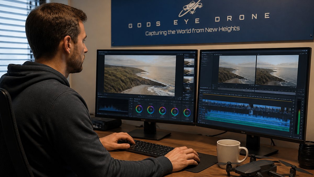
Fix Shaky Drone Video in Post Production: A Step-by-Step Guide
Learn how to fix shaky drone video in post-production. Master stabilization techniques, avoid common artifacts, and restore footage quality.
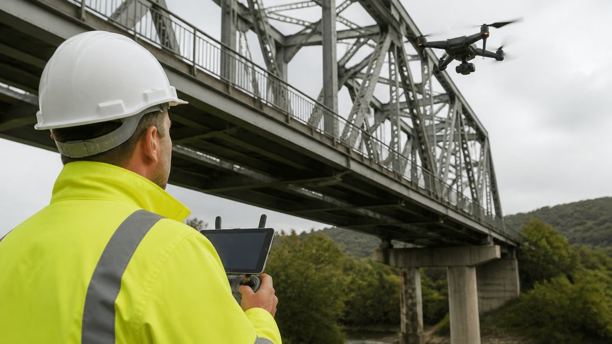
Advanced Pilot Training for Infrastructure Drone Inspections
Master advanced pilot training for infrastructure drone inspections. Build flight skills, safety procedures, and data workflows that win contracts.

Drone Photography for Wedding Venues Cost: 2026 Guide
Planning wedding drone photography? See what drives costs at venues, package and hourly pricing, permits, insurance, and what to ask before you book.
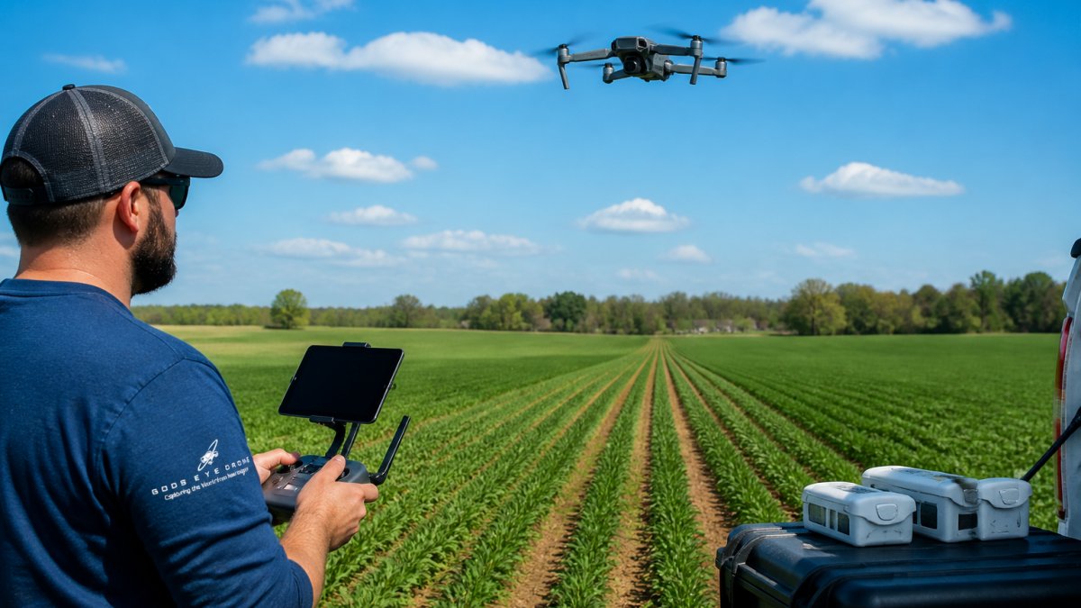
Best Drone Flight Patterns for Precision Agriculture Mapping
Learn the best drone flight patterns for precision agriculture mapping.
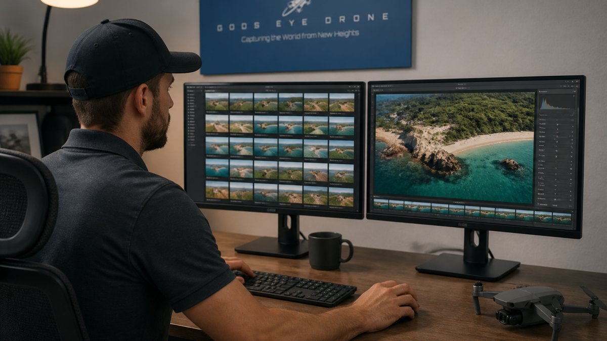
Aerial Drone Photography Post-Production Workflow
A complete aerial drone photography post-production workflow: how to organize files, edit drone photos, pick software, and dial in export settings.
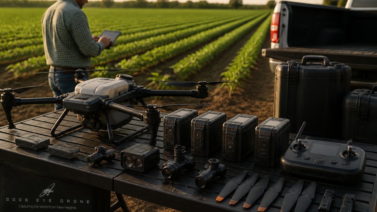
Essential Drone Hardware for Commercial Farming
Drone hardware commercial farming: Complete guide to essential drone hardware for commercial farming operations.
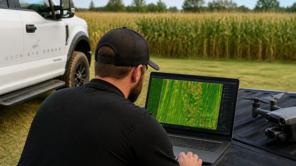
Using NDVI Imagery for Early Pest Detection
Learn how NDVI imagery detects crop pests early. Step-by-step guide to multispectral monitoring, stress identification, and field validation for farmers.
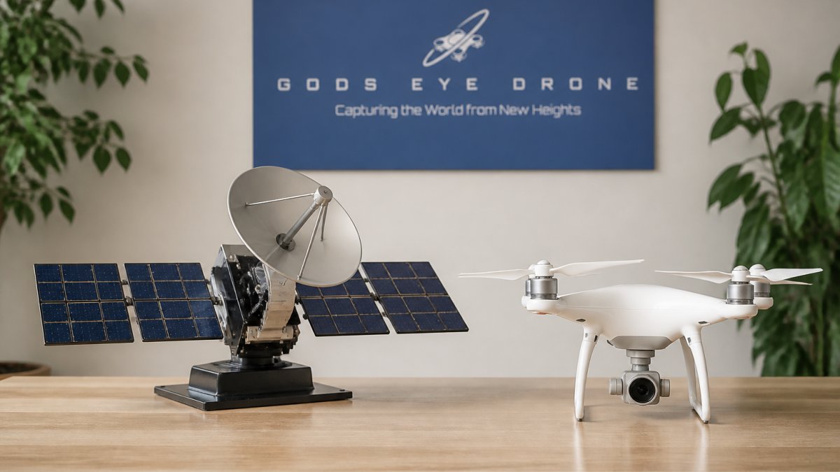
Satellite vs Drone Crop Monitoring: Key Benefits
Compare the benefits of satellite vs drone crop monitoring for precision agriculture. Learn which method fits your farm's crop health needs.
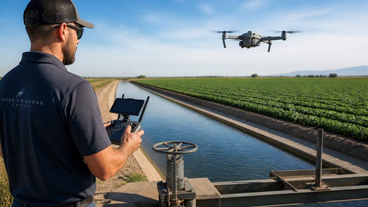
Drone Surveying for Irrigation Management: 7 Steps
Drone surveying for irrigation management: 7 practical steps, from sensor choice to ground-truthing and turning maps into real irrigation actions.
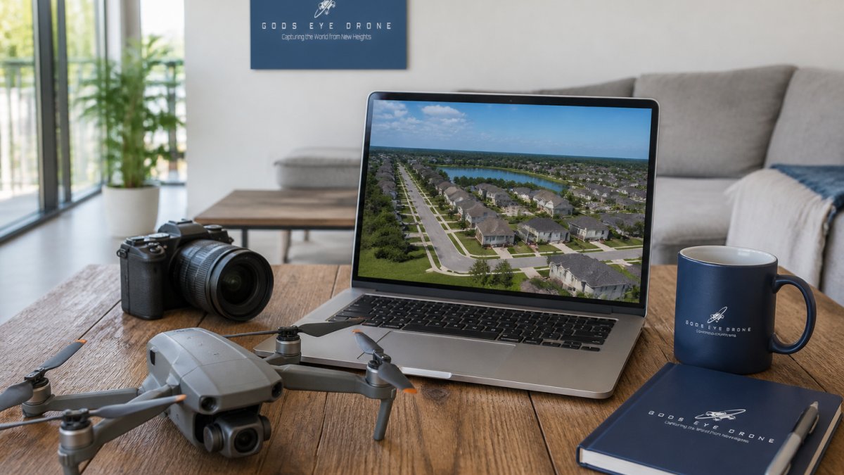
How to Optimize Real Estate Drone Photos for Websites
Optimize real estate drone photos for your website. Learn image formats, file sizes, alt text, and delivery to boost load times and visibility.
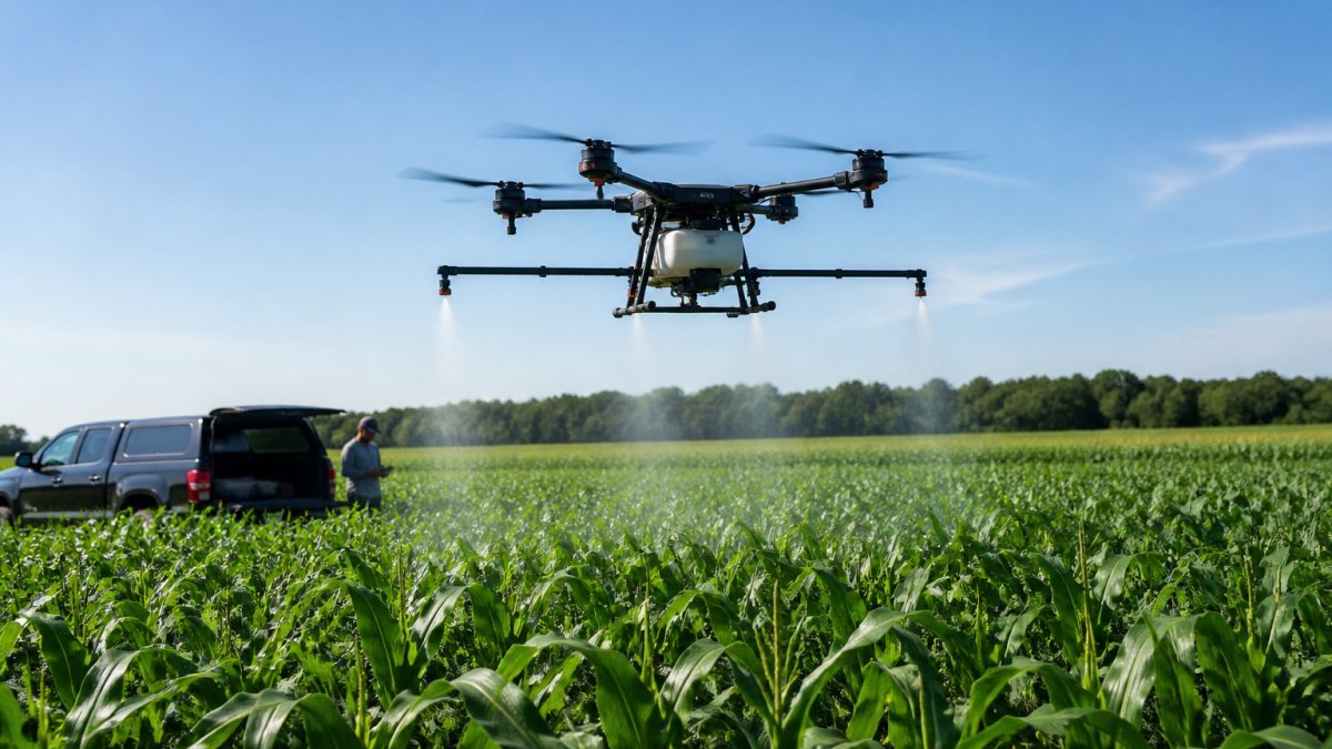
Drone Precision Spraying Benefits for Corn
Discover how drone precision spraying improves corn crop health, reduces chemical waste, and boosts yields.