Gods Eye Drone Blog
Gods Eye Drone is a veteran-owned, full-service drone company providing high-quality aerial photography, videography, and specialized inspection services. Utilizing state-of-the-art technology, including advanced FLIR equipment, we deliver precise results for real estate, agriculture, weddings, and critical search and rescue operations. Our certified pilots are dedicated to providing a higher perspective and unmatched aerial intelligence for every project. Whether you need detailed infrastructure inspections or professional event coverage, we are committed to excellence and delivering results that matter.
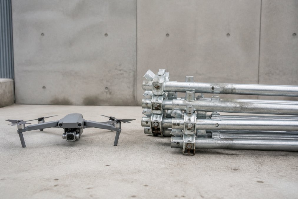
Drone Inspection vs Scaffolding: Cost & Safety
Compare drone inspection vs scaffolding costs, safety, and efficiency. Learn which method works best for your property or infrastructure project. Discover.
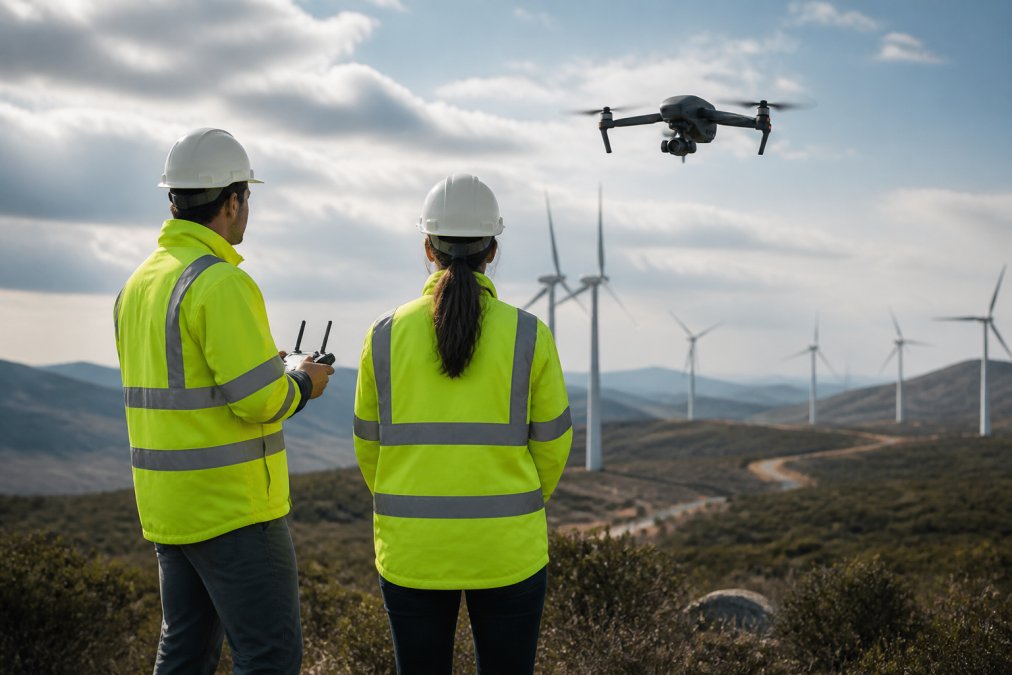
Benefits of Drone Pilot Networks for Enterprise
Benefits of drone pilot networks for enterprise: Discover how enterprise drone pilot networks reduce costs, ensure compliance, and scale operations. Learn.
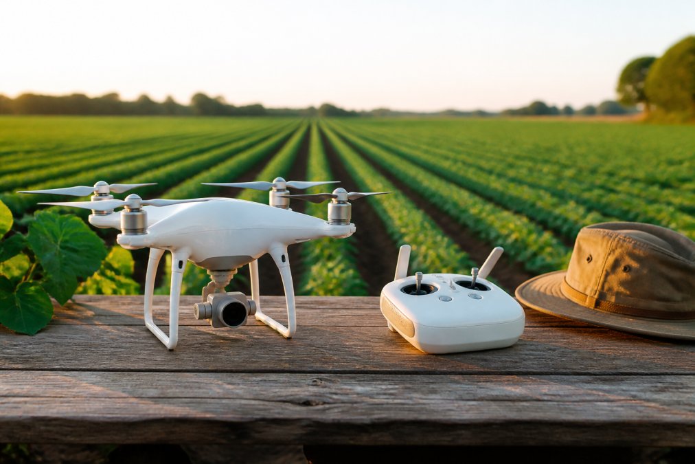
10 Benefits of Drone Mapping for Small Farms
10 benefits of drone mapping for small farms: Discover 10 key benefits of drone mapping for small farms, from crop health monitoring to cost savings.
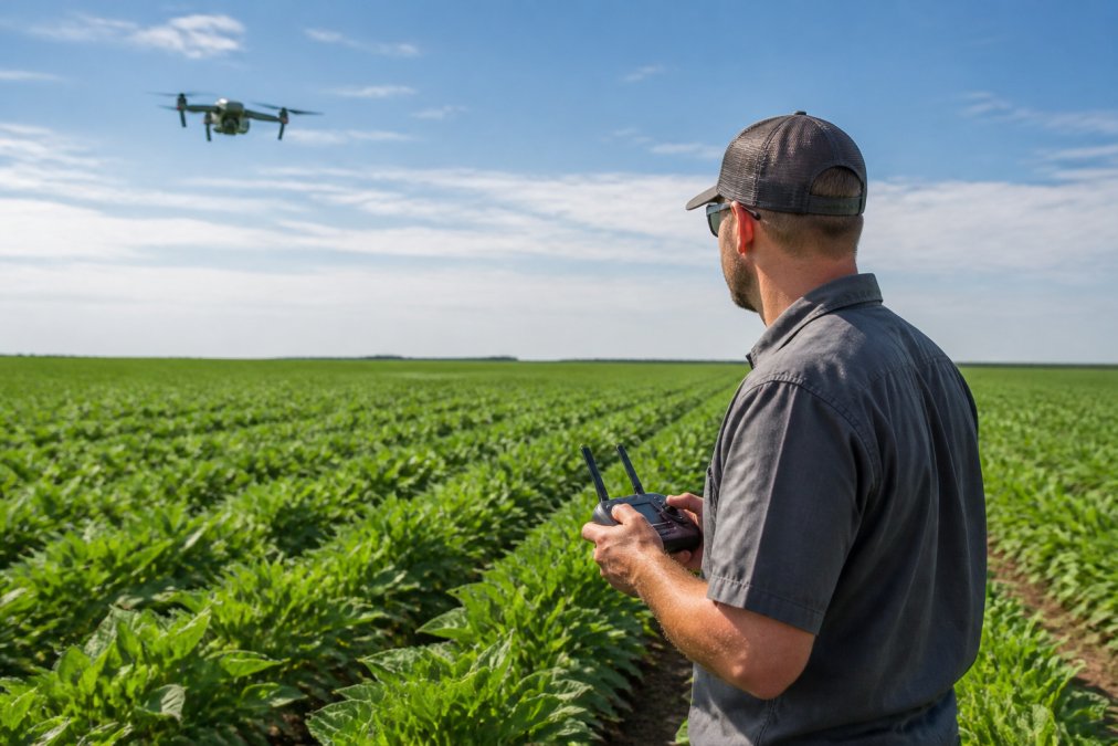
Drone Crop Monitoring for Kansas Farms: A 2026 Guide
Learn how drone crop monitoring helps Kansas farmers detect disease, optimize irrigation, and boost yields. Discover FAA regulations, costs, and.
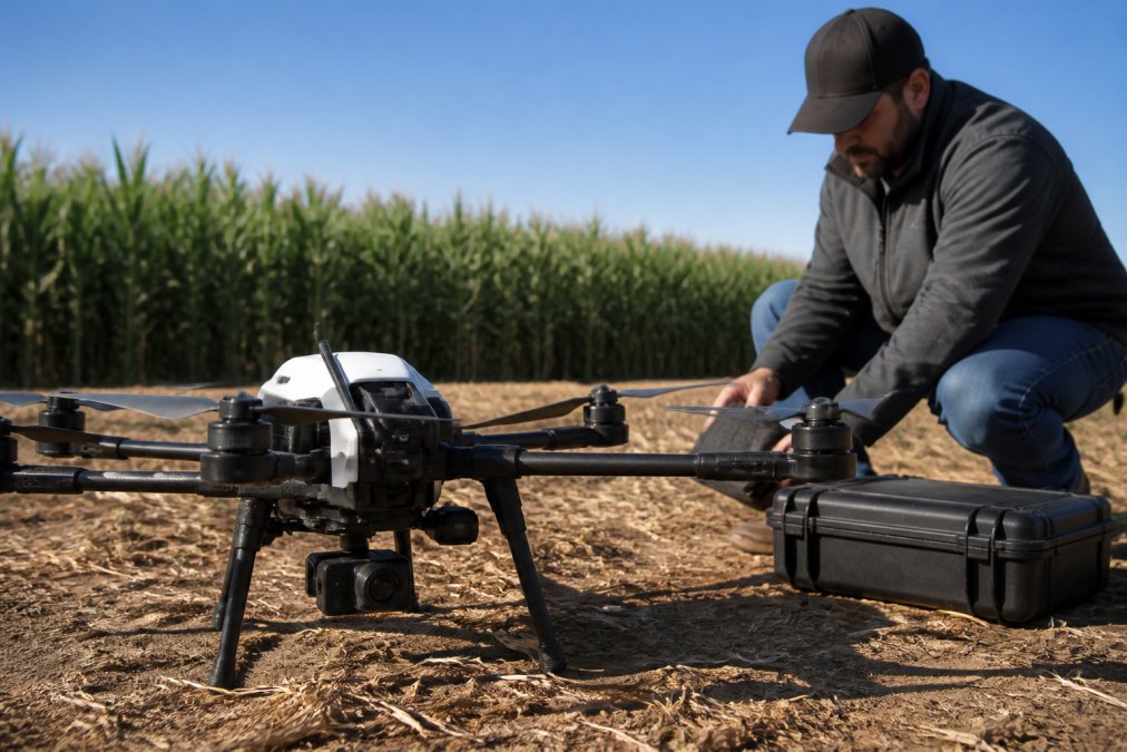
Multispectral Agricultural Drone Imaging: Benefits & How-To
Learn how multispectral agricultural drone imaging detects crop stress, optimizes irrigation, and boosts yields. Step-by-step guide to precision.
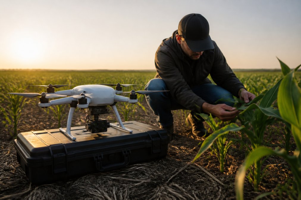
Multispectral Crop Analysis for Farmers: A 2026 Guide
Learn how multispectral crop analysis helps farmers detect plant stress, optimize inputs, and increase yields. Complete guide with ROI insights.
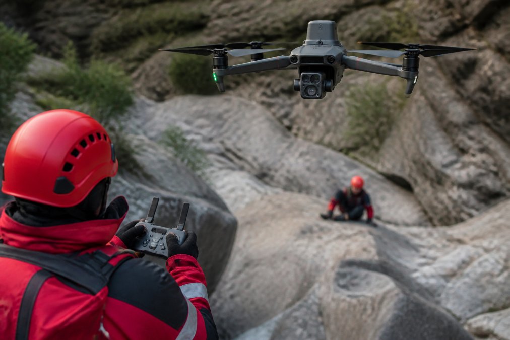
How Thermal Imaging Drones Assist Rescue: A 2026 Guide
Learn how thermal imaging drones assist rescue operations. Explore detection methods, best practices, and limitations for emergency response teams.
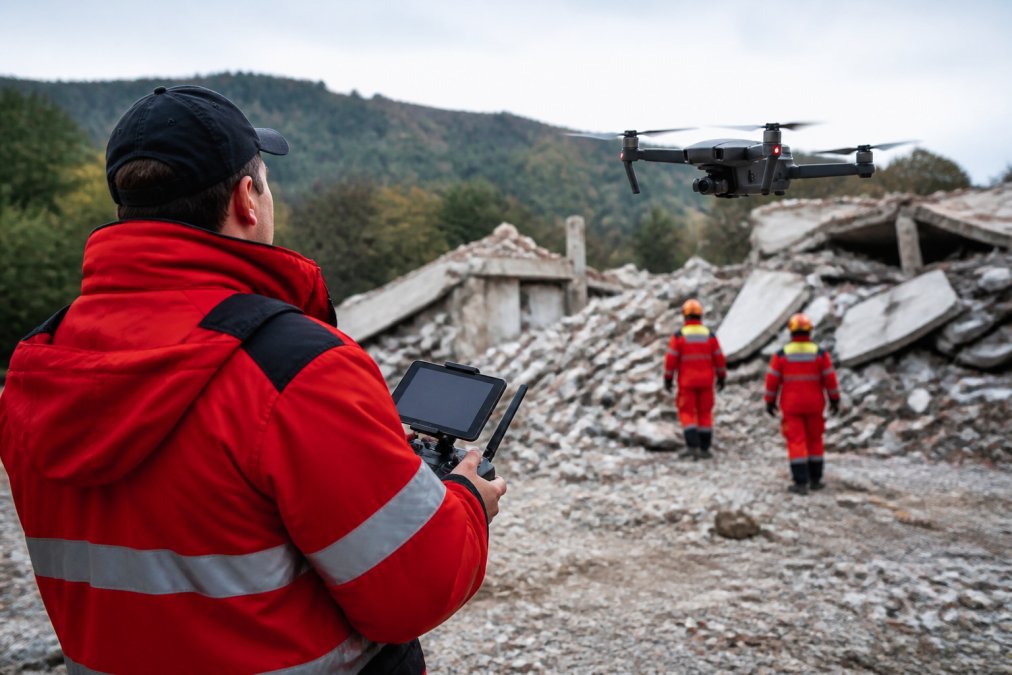
Thermal Drone Imaging for Search and Rescue: 2026 Guide
Thermal drone imaging for search and rescue: Learn how thermal drone imaging detects heat signatures in low-visibility SAR operations. Covers sensors.

Professional Aerial Videography Pricing Guide 2026
Understand aerial videography pricing in 2026. Learn hourly rates, project-based fees, FAA compliance costs, and how to get accurate quotes for drone.
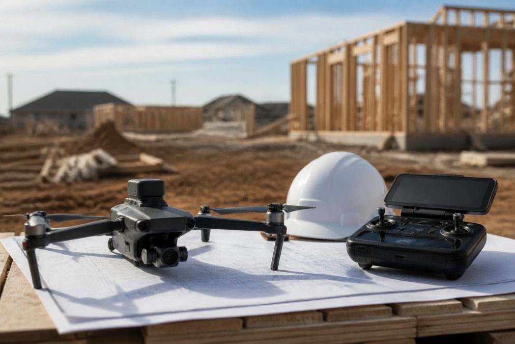
Drone Services for Property Developers: A Kansas Guide
Drone services property developers: Find professional drone services for property developers in Kansas. Compare aerial photography, mapping, inspections.
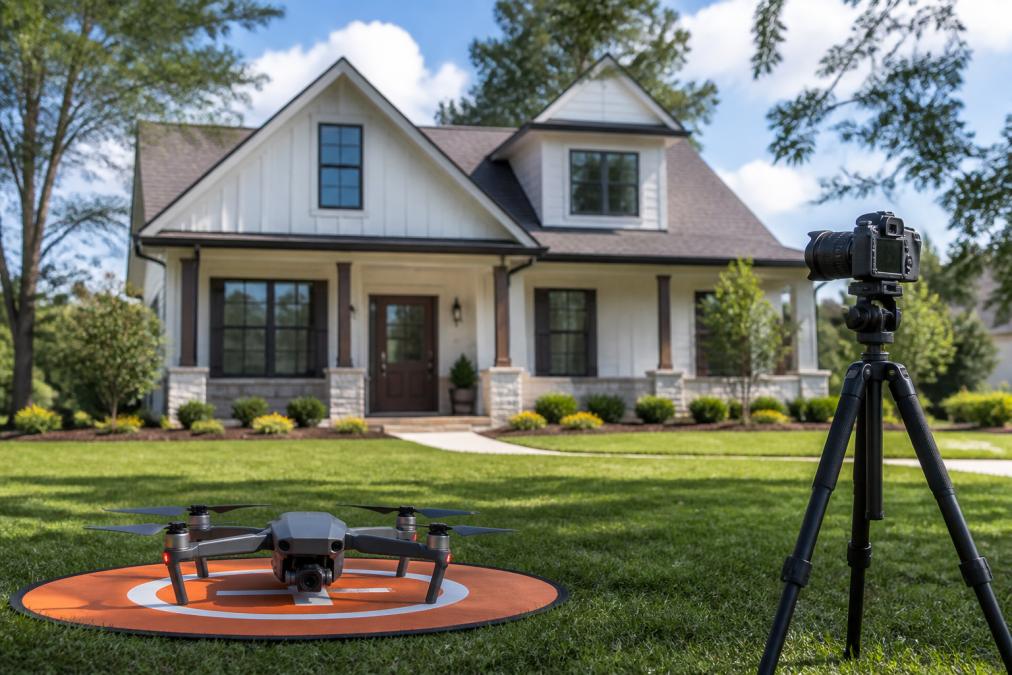
How to Improve Real Estate Listing Speed
Improve real estate listing speed with professional photography, strategic pricing, staging, and digital marketing. Learn what actually sells homes fast.
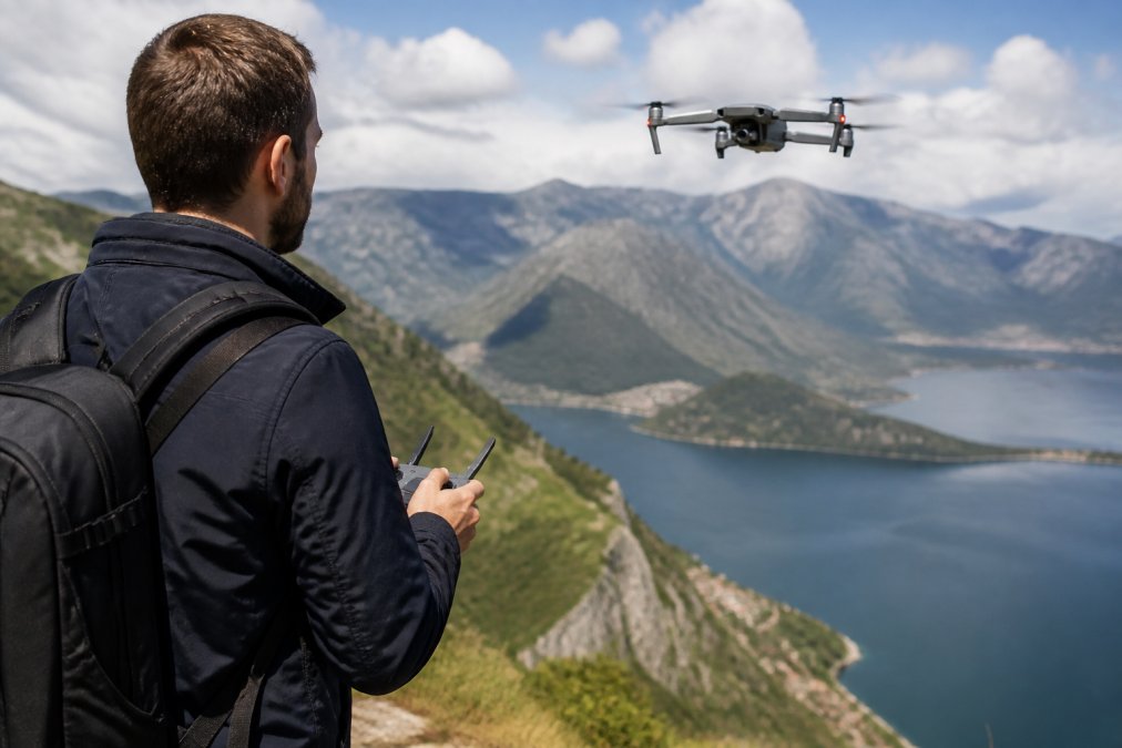
Book Professional Aerial Videography Services: A 2026 Guide
Learn how to book professional aerial videography services. Compare providers, understand FAA requirements, and get the best ROI for your project.