 ultimate-guide
Mapping and Surveying Drones: A 2026 Guide
Table of Contents
- What Mapping and Surveying Drones Do
- Drone LiDAR Mapping Services vs. Traditional Surveying
- Drone Photogrammetry vs. LiDAR: Which Method Delivers Better Results
- Key Applications in Construction, Real Estate, and Infrastructure
- Accuracy, Precision, and Regulatory Compliance
- Understanding Aerial Land Surveying Costs and ROI
- Choosing the Right Mapping and Surveying Drone Service
- Frequently Asked Questions
Last Updated: September 27, 2026
What Mapping and Surveying Drones Do
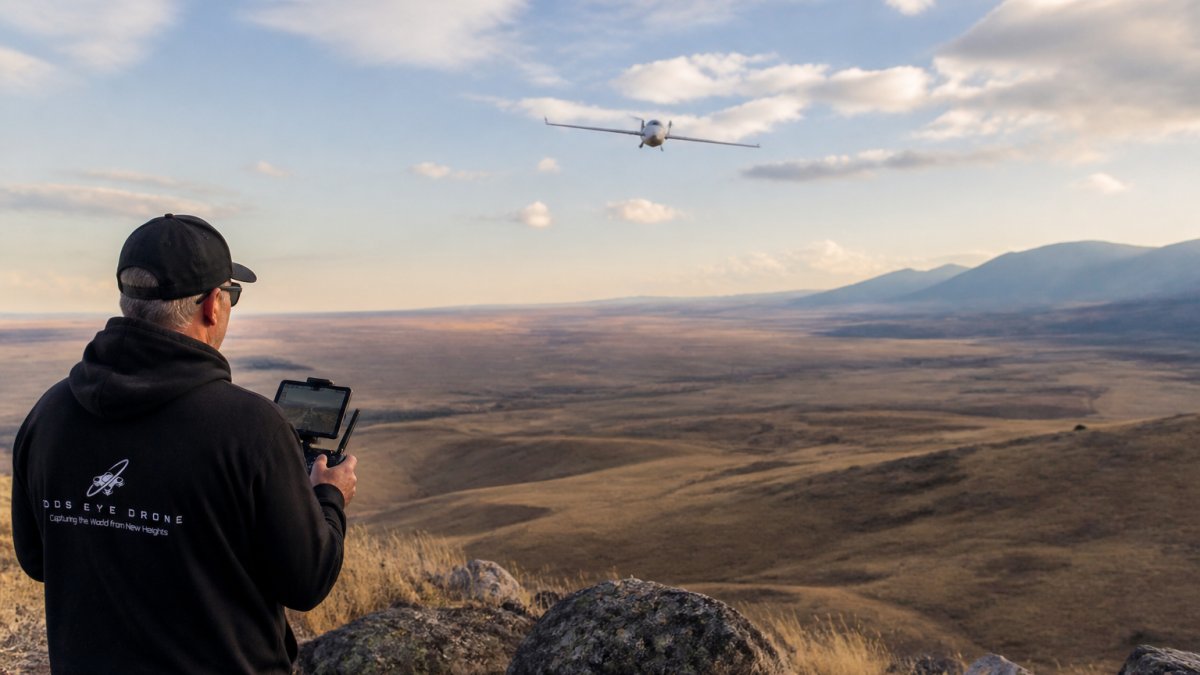
Mapping and surveying drones are unmanned aerial systems equipped with specialized sensors that capture precise geospatial data for land surveying, site planning, and infrastructure assessment. Unlike traditional ground-based surveying methods, these systems use LiDAR, photogrammetry, or thermal imaging to generate detailed 3D models, orthomosaics, and elevation profiles in a fraction of the time. Gods Eye Drone's certified pilots are dedicated to providing a higher perspective and unmatched aerial intelligence for every project, including for construction sites, real estate properties, agricultural land, and emergency response operations.
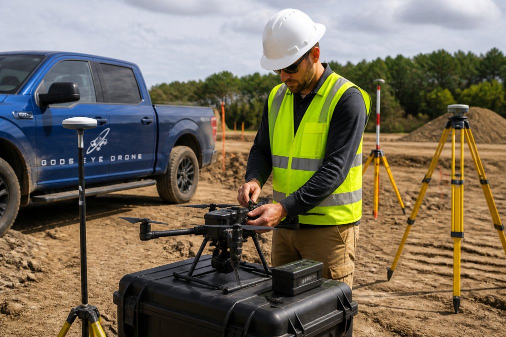
Mapping and surveying drones capture thousands of points per second, creating point clouds with millimeter-level precision that feed directly into CAD, GIS, and project management workflows. Aerial data collection completes in hours what would take surveyors days on foot, making drone surveying essential for time-sensitive projects.
Mapping and surveying drones deliver volumetric analysis, thermal data, multispectral imagery, and interactive 3D models, far beyond the 2D plots and reports traditional surveyors produce. Construction teams measure stockpiles and track progress remotely; real estate agents showcase properties with cinematic documentation; infrastructure inspectors spot structural issues before they become costly.
Drone LiDAR Mapping Services vs. Traditional Surveying
LiDAR-equipped drones fire laser pulses and measure return times, penetrating vegetation to produce terrain data in densely forested areas where photogrammetry struggles. Traditional ground surveying with transit equipment and measuring tapes is accurate but labor-intensive and slow.
LiDAR drones offer efficient data collection, with data georeferenced directly to GPS coordinates. Traditional surveying produces legal documents accepted by courts; LiDAR data alone cannot yet claim this credential in all jurisdictions.
Pricing for drone LiDAR services depends on project size and complexity. For specific project costs, please contact us for a quote.
FAA Part 107 certification is required for commercial mapping and surveying drone operations. Traditional surveyors face higher barriers, state licensing exams and professional credentials, but established firms bring decades of institutional knowledge. Gods Eye Drone's certified pilots operate within FAA guidelines for projects of any scale.
Drone Photogrammetry vs. LiDAR: Which Method Delivers Better Results
Photogrammetry uses overlapping aerial photographs and computer vision to reconstruct 3D geometry, producing orthomosaics and digital elevation models at lower cost than LiDAR and suitable for many applications.
LiDAR penetrates dense forest canopy and operates day or night, outperforming photogrammetry in low-light conditions. For infrastructure inspection of bridges, power lines, and towers, LiDAR's fine surface detail and geometric accuracy make it preferred.
Photogrammetry excels in real estate and marketing, orthomosaics are visually intuitive for buyers and investors. For construction progress monitoring and volumetric analysis, LiDAR's precision and ability to penetrate dust make it essential.
Hybrid approaches collect both photogrammetric imagery and LiDAR data in a single flight, photogrammetry for visual context and marketing, LiDAR for precision engineering measurements.
Key Applications in Construction, Real Estate, and Infrastructure
Construction site monitoring tracks progress, verifies stockpiles, and documents safety compliance. Thermal imaging identifies equipment failure risks; 3D models catch discrepancies against design plans early.
Real estate agents use mapping and surveying drone footage to reveal lot size, neighboring properties, and landscape features. Orthomosaics provide accurate property boundary documentation and help buyers understand full property scope.
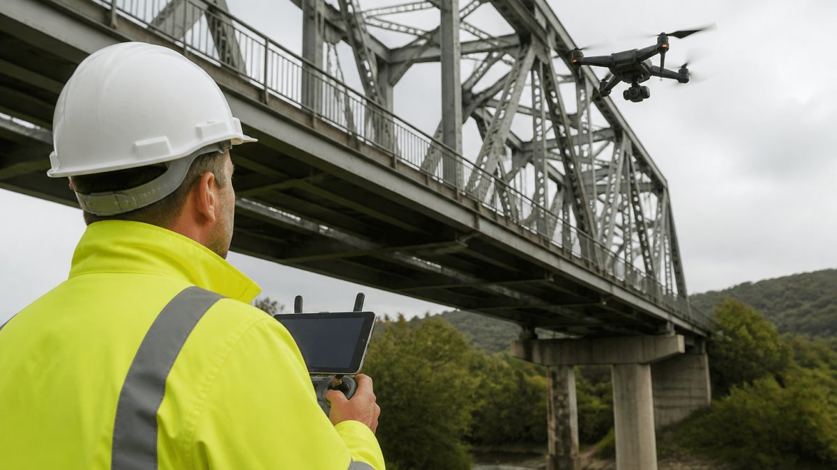
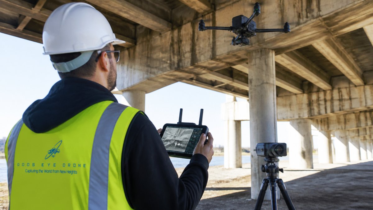
Infrastructure inspection uses mapping and surveying drones on roads, bridges, power lines, and towers. Thermal imaging detects structural stress; high-resolution imagery reveals cracks and corrosion. Drones reach areas that would require expensive access equipment or lane closures.
Agricultural monitoring uses multispectral imagery to assess crop health and optimize fertilizer application. Emergency response teams deploy thermal drones for search and rescue, wildfire assessment, and disaster documentation.
Accuracy, Precision, and Regulatory Compliance
Accuracy and regulatory compliance are inseparable, millimeter-level precision data is worthless if operations violate FAA rules or local ordinances. Understanding both protects your project and liability.
Understanding Survey-Grade Accuracy
Survey-grade accuracy, horizontal precision within 2-5 centimeters and vertical within 5-10 centimeters, is sufficient for construction staking, site planning, and most engineering applications. Achieving it requires:
- GPS/RTK (Real-Time Kinematic) initialization: The drone's onboard GPS must be corrected against ground-based reference stations. Without RTK, standard GPS accuracy degrades to 1-3 meters, unsuitable for precision work.
- Sensor calibration: Camera and LiDAR sensors drift over time. Professional operators recalibrate equipment every 6-12 months and maintain calibration certificates.
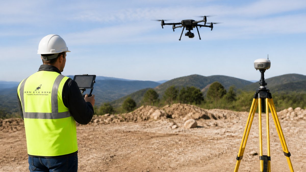
- Ground control points: For maximum accuracy, surveyors place physical markers on the ground before flight. The drone's camera or LiDAR references these markers, anchoring the entire dataset to known coordinates. Projects requiring sub-5-centimeter accuracy almost always use ground control points.
- Flight planning: Altitude, overlap, and flight speed affect data quality. Lower altitudes and higher overlap increase accuracy but require more flight time and processing. Professional flight planning balances accuracy requirements against project budget and timeline.
Uncalibrated systems deliver results accurate only to 10-30 centimeters, suitable for progress documentation but not construction staking or legal boundary work.
FAA Part 107 Certification and Commercial Operations
FAA Part 107 governs commercial drone operations. Compliance is mandatory for any compensated work; violations carry civil penalties up to $27,500 and potential criminal charges.
Part 107 requires Remote Pilot Certification (pass FAA knowledge test, $175, valid 24 months), daylight-only operations, visual line of sight, 400-foot altitude limit, no operations over people, and 3-statute-mile visibility minimum. Night operations and beyond-visual-line-of-sight flights require FAA waivers.
Request proof of current Part 107 Remote Pilot Certification for all pilots, verify the actual credential, not just a verbal claim.
Local Airspace Coordination and Waivers
Local airspace rules apply beyond Part 107. Professional operators check NOTAMs, airspace classification (Class B prohibits operations without ATC approval; Class C/D require notification), and TFRs before every flight. Expect 2-4 weeks for airspace coordination in controlled airspace.
Local Zoning and Property Rights
Local ordinances govern ground operations; property owners have rights to airspace above their land (typically 500 feet). Professional operators verify local drone ordinances, obtain written property access permission, and notify neighbors in residential areas.
For projects on public land or right-of-way (roads, utility corridors), additional coordination with government agencies may be required.
Data Security, Chain of Custody, and Professional Standards
Professional operators maintain raw data archival (2+ years), metadata documentation (collection date, GPS, sensor specs, RTK status), accuracy statements with confidence intervals, and secure data transfer via encrypted channels for sensitive information.
Insurance and Liability
Professional providers carry Commercial General Liability ($1 million per occurrence) and Aircraft Liability insurance covering third-party damage.
Request a Certificate of Insurance showing both coverages and verify your project is named as additional insured if required.
Before hiring, confirm: current FAA Part 107 certification, commercial insurance, airspace coordination plan, RTK capability and sensor calibration dates, data handling procedures, and industry references. These steps eliminate risk of hiring uncertified operators or those without proper insurance.
Understanding Aerial Land Surveying Costs and ROI
Aerial land surveying costs break down into flight time, processing, and complexity surcharges. Understanding this structure helps you budget and compare quotes.
Flight and Collection Costs
Pricing for photogrammetry flights depends on the project scope and coverage area.
Processing and Deliverable Costs
Rush processing is available for an additional cost.
Project Complexity Surcharges
ROI Framework for Different Use Cases
Comparing Drone Services to Traditional Surveying
Choosing the Right Mapping and Surveying Drone Service
The right service provider combines technical capability, regulatory compliance, and responsiveness to your specific needs. Look for FAA Part 107 certification, it's non-negotiable for commercial operations. Verify that pilots have experience with your project type. A provider strong in real estate photography may lack the technical depth for precision construction surveying or thermal infrastructure inspection.
| Service Type | Best For | Key Deliverables | Typical Turnaround |
|---|---|---|---|
| Photogrammetry | Real estate, marketing, progress documentation | Orthomosaics, 3D models, 2D maps | 2-5 days |
| LiDAR Mapping | Precision surveying, volumetric analysis, terrain modeling | Point clouds, elevation profiles, CAD-ready data | 3-7 days |
| Thermal Imaging | Infrastructure inspection, search and rescue, equipment diagnostics | Thermal orthomosaics, temperature maps, anomaly reports | 2-4 days |
| Hybrid (Multi-sensor) | Complex projects requiring multiple data types | Combined visual, LiDAR, and thermal deliverables | 5-10 days |
Frequently Asked Questions
How accurate are mapping and surveying drones compared to traditional land surveying methods?
Professional mapping and surveying drones equipped with RTK (Real-Time Kinematic) GPS and LiDAR sensors achieve accuracy within 1-2 centimeters vertically and 2-3 centimeters horizontally, matching or exceeding traditional surveying methods. Photogrammetry-based systems typically deliver 5-10 centimeter accuracy depending on flight altitude and ground resolution. Traditional methods require boots on the ground and manual measurements; drones capture entire sites in a single flight, reducing time and human error while providing comprehensive 3D point cloud data for analysis.
What certifications do drone pilots need to perform commercial surveying and mapping work?
Commercial drone pilots must hold an FAA Part 107 Remote Pilot Certificate, which requires passing a knowledge test covering airspace rules, weather, aircraft performance, and safety. For specialized work like LiDAR surveying or thermography, pilots should have additional training specific to their equipment. Professional surveying firms often employ pilots with FAA Part 107 certification plus industry-specific credentials from organizations like the American Society for Photogrammetry and Remote Sensing (ASPRS). Insurance and liability coverage are critical, verify your service provider carries appropriate commercial drone insurance before hiring.
How long does it take to get deliverables after booking a drone mapping service?
Turnaround depends on project scope and data complexity. A basic aerial photography project typically delivers edited images within 3-5 business days. LiDAR or photogrammetry projects requiring point cloud processing, 3D modeling, or orthomosaic generation usually take 1-2 weeks. Rush processing is often available at an additional cost. Contact your service provider with your specific timeline needs when requesting a quote, tight deadlines should be discussed upfront to ensure they can accommodate your project schedule.
Can drone mapping and surveying services handle raw footage processing from previous projects?
Yes, many professional drone services offer data processing and archival management. If you have existing raw aerial footage, drone companies can organize, process, and convert it into usable deliverables like orthomosaics, 3D models, elevation profiles, or GIS-compatible files. Processing costs vary based on file size, data format, and the complexity of analysis required. This is a cost-effective option if you have historical aerial data sitting unused, ask your service provider what formats they can accept and what final deliverables they can produce from your existing footage.
Mapping and surveying drones have fundamentally changed how teams gather geospatial intelligence. Whether you need precise construction site documentation, real estate marketing content, infrastructure inspection, or emergency response support, the right aerial data accelerates decisions and reduces costs. Gods Eye Drone delivers survey-grade accuracy and professional-grade processing for every project. Contact us to discuss your specific needs and get a consultation from our certified pilots.