 listicle
Drone Inspection Alternatives: Beyond Rocky Mountain
Table of Contents
- Why Consider Drone Inspection Alternatives to Rocky Mountain Photography
- Drone Inspection Services USA: What to Expect
- Cost-Benefit Analysis: Drone vs. Manual Inspection Methods
- Commercial Drone Inspection Cost: Understanding Pricing Models
- Thermal Drone Inspection Companies: Advanced Capabilities
- Roof Inspection Drone Services: Specialized Solutions
- Direct Comparison: Evaluating Drone Inspection Providers
- Specialized Inspection Services: Beyond Standard Aerial Photography
- Frequently Asked Questions
Last Updated: July 30, 2026
Why Consider Drone Inspection Alternatives to Rocky Mountain Photography
When property owners, construction managers, and infrastructure teams need aerial documentation, traditional photography companies often fall short. A Rocky Mountain Photography alternative for inspections delivers thermal imaging, 3D mapping, real-time data processing, and compliance documentation that static photography cannot match.
Gods Eye Drone has learned that the inspection market has fundamentally shifted. Teams no longer want beautiful photos, they want actionable intelligence: thermal data identifying hidden structural problems, orthomosaic maps showing precise measurements, and compliance records satisfying regulatory requirements. According to FAA Part 107 Commercial Drone Operations Report, the number of certified commercial drone pilots in the United States has grown to over 500,000, with the majority specializing in inspection work rather than photography.
This guide covers key differences between a Rocky Mountain Photography alternative for inspections and traditional services, including technical capabilities, pricing models, and how to evaluate providers.
Drone Inspection Services USA: What to Expect
Professional drone inspection services in the United States operate under strict federal guidelines. Certified providers carry insurance, follow safety protocols, and maintain equipment to rigorous standards. The core difference between inspection services and photography is scope: inspectors assess structural integrity, identify defects, document conditions, and provide written reports with actionable recommendations.
Real inspection work involves pre-flight assessment, planned flight paths designed to capture specific data points, specialized software processing, and structured reports with measurements and analysis. A legitimate inspection typically requires 2-5 business days from booking to final deliverables.
Part 107 Certification and Commercial Use Authorization
The Federal Aviation Administration requires any pilot flying drones commercially to hold Part 107 certification. This is non-negotiable. Many professional inspection companies go further, carrying general liability insurance (typically $1 million minimum) and obtaining special use permits for restricted airspace. Ask prospective providers about insurance limits and specialized authorizations.
Aerial Infrastructure Documentation Capabilities
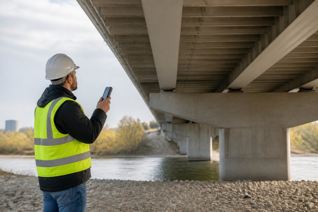
Infrastructure documentation is where drone inspection services prove their value. Roads, bridges, power lines, and building facades require periodic assessment. Drones can reach difficult locations, capture high-resolution imagery, and return data in hours instead of days.
Aerial infrastructure documentation typically includes orthomosaic mapping (stitched, georeferenced imagery), elevation profiles, and detailed photography from multiple angles. High-resolution cameras (20+ megapixels), stable gimbals, and professional post-processing software separate quality inspection services from amateur operations.
Cost-Benefit Analysis: Drone vs. Manual Inspection Methods
The financial case for drone inspection is compelling. Manual roof inspections require safety equipment, trained personnel, and time while exposing workers to fall hazards and liability. A single worker injury can cost tens of thousands in medical expenses and lost productivity.
Drone inspections eliminate most risks. Pilots remain safely on the ground, assessments take hours instead of days, and data is captured comprehensively. For property owners and facility managers, this translates to faster decision-making and lower total cost of ownership.
The break-even point depends on inspection frequency and asset value. If you inspect one property once per year, hiring a drone service makes sense. If you manage dozens of properties or conduct monthly assessments, investing in internal drone capability becomes economically rational.
Commercial Drone Inspection Cost: Understanding Pricing Models
Pricing for commercial drone inspection services varies based on project complexity, site size, data deliverables, and turnaround time. Simple visual inspections of small buildings might run $300-$800. Complex projects involving thermal imaging, 3D modeling, and detailed reporting can exceed $2,000-$5,000. Large-scale infrastructure projects may cost significantly more.
What Factors Influence Inspection Pricing
Site accessibility is primary, if the drone can launch safely from the property, costs stay lower. Sites requiring special airspace authorization, weather delays, or difficult terrain cost more. Equipment requirements matter: basic RGB photography is cheaper than thermal imaging or LiDAR mapping. Turnaround time affects pricing; rush delivery typically carries a premium.
When comparing quotes, ask providers to itemize charges. Understand what's included in the base price and what costs extra. The most expensive aspect of professional drone inspection is usually post-processing and analysis. Raw drone footage requires stitching, georeferencing, thermal analysis, measurement extraction, and report generation. Gods Eye Drone provides transparent pricing based on specific project requirements, contact us for a detailed estimate.
Thermal Drone Inspection Companies: Advanced Capabilities
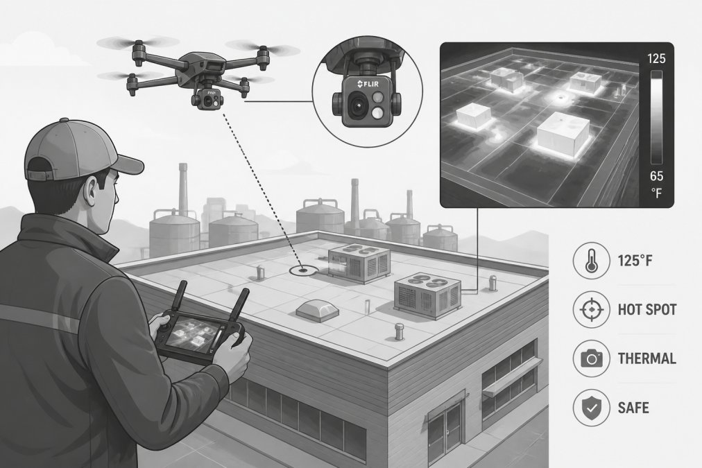
Thermal imaging reveals problems invisible to the human eye: water infiltration in roofs, electrical hotspots in power infrastructure, insulation failures in buildings, and structural stress patterns in bridges. Insurance companies increasingly demand thermal inspections before issuing coverage on commercial properties.
FLIR Technology and Thermal Imaging Applications
FLIR Systems manufactures the thermal cameras most professional inspection services use. Professional radiometric cameras measure absolute temperature to within 2-5 degrees Celsius, meeting engineering and insurance standards. Gods Eye Drone operates state-of-the-art FLIR equipment, enabling precise thermal analysis for commercial and industrial clients.
Thermal imaging applications span multiple industries. In commercial real estate, thermal inspections identify roof leaks before visible water damage occurs. In industrial facilities, thermal imaging detects overheating equipment and electrical anomalies. In utilities, thermal cameras find overloaded transformers and failing transmission lines.
When Thermal Imaging Matters for Your Project
Thermal imaging is essential if you suspect water infiltration, electrical problems, or structural stress. It's valuable for energy audits on commercial buildings and required for insurance claims on properties with fire or water damage. When evaluating a Rocky Mountain Photography alternative for inspections, confirm they have thermal capability if your project requires it.
Roof Inspection Drone Services: Specialized Solutions
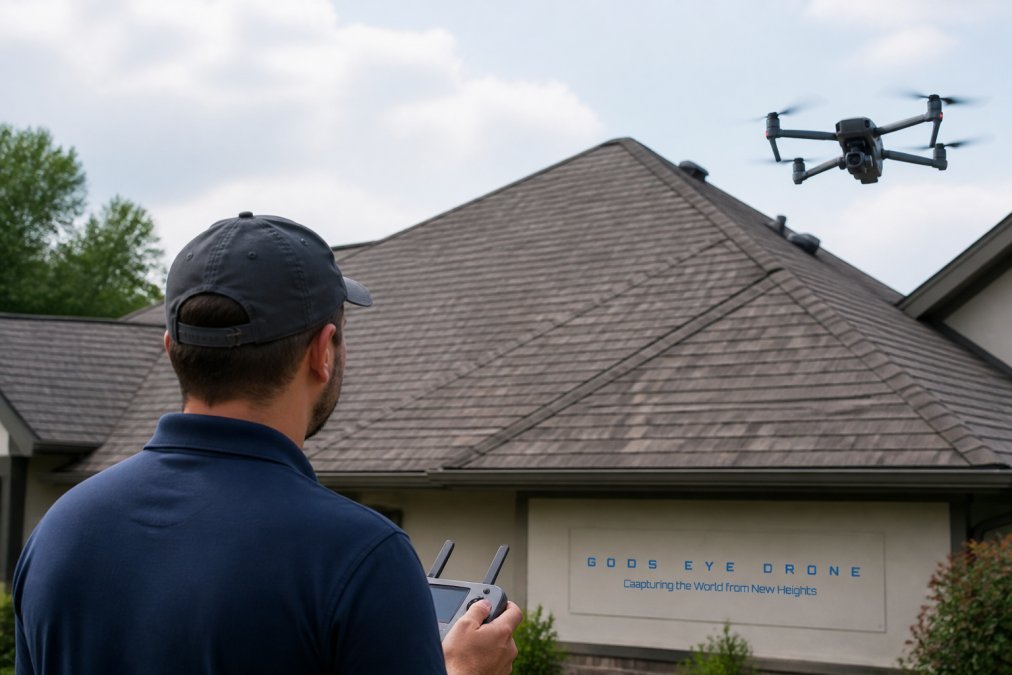
Roof inspections represent the largest use case for commercial drone services. Traditional roof inspections require workers to climb onto steep, potentially unstable surfaces, creating significant safety risk. Drone-based roof inspections eliminate this risk while capturing comprehensive data.
3D Modeling and Orthomosaic Maps for Structural Assessment
Advanced roof inspection services deliver 3D models and orthomosaic maps, geometrically corrected, stitched imagery showing the roof as a flat, measurable surface. From an orthomosaic map, engineers can measure roof dimensions, identify problem areas precisely, and plan repairs with confidence.
3D modeling creates a three-dimensional representation of the roof surface, enabling volume calculations, slope analysis, and detailed damage assessment. For complex roofs or large commercial buildings, 3D models are invaluable for planning major repairs or replacements.
When hiring a roof inspection service, confirm they deliver orthomosaic maps and 3D models if your project needs them. Gods Eye Drone provides comprehensive roof documentation including orthomosaic mapping and 3D modeling for commercial properties requiring detailed structural assessment.
Direct Comparison: Evaluating Drone Inspection Providers
Choosing between inspection providers requires evaluating more than price. Equipment quality, pilot certification, insurance coverage, and turnaround time all matter.
| Evaluation Criteria | What to Look For | Why It Matters |
|---|---|---|
| Part 107 Certification | All pilots must hold current FAA Part 107 | Legal requirement; ensures safety training |
| Insurance Coverage | Minimum $1M general liability | Protects you if damage occurs during inspection |
| Equipment Specs | High-resolution camera (20+ MP), thermal capability (if needed), stable gimbal | Determines data quality and analysis capability |
| Processing Capability | Cloud-based software, orthomosaic/3D modeling, thermal analysis | Raw footage is useless; processing creates actionable intelligence |
| Turnaround Time | 2-5 business days typical; clarify what's included | Impacts project schedule and cost |
| References | Ask for recent client references in your industry | Demonstrates real-world experience with similar projects |
Technical Equipment and Payload Capabilities
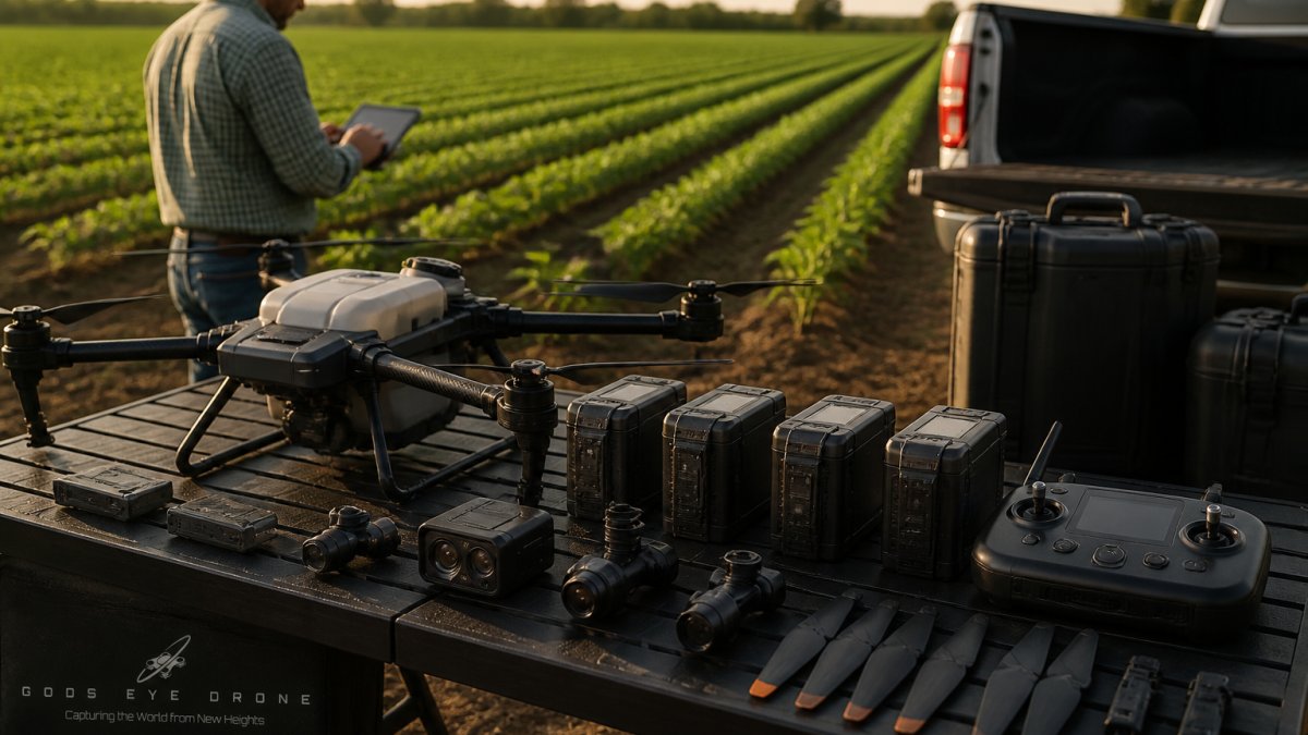
Professional inspection drones carry multiple cameras and sensors. Entry-level commercial drones work fine for simple photography but lack the payload capacity for demanding inspection work. Professional-grade drones (DJI Matrice series, Freefly, Auterion) support multiple cameras, offer redundant safety systems, and maintain stability in challenging conditions.
When evaluating providers, ask about their equipment. What camera system do they use? What's the sensor resolution? Do they have backup equipment if primary systems fail? Providers using quality equipment tend to be transparent about it.
Insurance, Liability Coverage, and Compliance Standards
Professional liability insurance is non-negotiable. A reputable inspection service carries general liability (minimum $1 million) and often cyber liability. They should provide proof of insurance before you hire them.
Compliance standards vary by industry. In construction, inspections often must meet OSHA documentation requirements. In utilities, thermal inspections should follow NFPA standards. A competent provider understands these standards and delivers reports meeting them. Gods Eye Drone maintains comprehensive insurance coverage and operates under documented safety and quality protocols.
Turnaround Times and Data Delivery Options
Turnaround time depends on project complexity and current workload. Simple inspections might be completed within 2-3 business days; complex projects may take 5-7 business days. Professional services deliver processed data: orthomosaic maps, 3D models, thermal analysis, and written reports.
Cloud-based collaboration platforms let you view and annotate data in real-time. Ask prospective providers about their delivery workflow and what format deliverables are in.
Specialized Inspection Services: Beyond Standard Aerial Photography
The inspection market has evolved far beyond aerial photography. Specialized services now address specific industries and asset types.
Telecom and Cell Tower Inspections
Cell towers and antenna arrays require regular inspection. Manual inspection is dangerous, requiring workers to climb hundreds of feet in all weather conditions. Drones have transformed tower inspection, eliminating risk while improving data quality.
Telecom inspection drones capture high-resolution imagery of antenna arrays, structural connections, and cable management. Thermal imaging identifies overheating equipment. For telecom operators managing thousands of towers, drone inspection programs reduce costs and improve safety dramatically. Gods Eye Drone has extensive experience with telecommunications infrastructure inspection.
LiDAR Mapping and Remote Sensing for Asset Management
LiDAR (Light Detection and Ranging) systems emit laser pulses and measure reflected signals, creating precise three-dimensional point clouds. These datasets enable volume calculations, change detection, and sophisticated asset management.
LiDAR applications span multiple industries. In construction, LiDAR captures site conditions before work begins. In mining, LiDAR measures stockpile volumes. In utilities, LiDAR creates detailed models of transmission corridors. LiDAR can measure through vegetation and works in low-light conditions where cameras struggle.
LiDAR capability is expensive, with equipment costing $50,000-$150,000 per system. If your project requires LiDAR mapping, ensure your provider has genuine LiDAR experience and can demonstrate past projects with comparable complexity.
360-Degree Virtual Site Inspections and Cloud Collaboration
Virtual site inspections have become essential for remote teams. Instead of multiple people traveling to a site, a drone captures 360-degree panoramic imagery. Stakeholders review the virtual tour from anywhere, annotating issues and collaborating in real-time.
Cloud-based collaboration platforms enable teams to view drone data, add annotations, and track action items. This accelerates decision-making and reduces project delays. A modern inspection service integrates drone capture with cloud collaboration tools, separating professional inspection services from simple photography providers. Gods Eye Drone integrates drone inspection with cloud-based project management, enabling seamless collaboration across distributed teams.
Choosing a Rocky Mountain Photography alternative for inspections means prioritizing technical capability, professional standards, and genuine inspection expertise over basic photography services. Gods Eye Drone brings veteran expertise, state-of-the-art FLIR equipment, and certified pilots to every project. Whether you need roof documentation, infrastructure assessment, or specialized thermal analysis, our team delivers precise results and professional reports that inform critical decisions. Book Now to discuss your specific inspection requirements and receive a detailed estimate tailored to your project.
Frequently Asked Questions
What makes a drone inspection alternative better than Rocky Mountain Photography for infrastructure assessments?
Alternatives vary in specialized capabilities like thermal imaging, LiDAR mapping, and geospatial data processing. Some providers offer faster turnaround times, better insurance coverage, or industry-specific expertise (telecom, utilities, construction). Evaluate based on your project's technical requirements, thermal imaging for roof inspections, orthomosaic maps for site documentation, or 360-degree photography for virtual assessments. Certified Part 107 pilots and state-of-the-art equipment are standard across reputable providers.
How much do drone inspection services USA typically cost compared to manual inspections?
Drone inspection pricing depends on project scope, equipment required, and delivery timeline. Generally, drone services reduce labor costs and safety risks versus manual inspections. Thermal imaging or LiDAR mapping add to base pricing. Request quotes from multiple providers, pricing varies significantly based on location, asset type, and data processing complexity. Many companies offer competitive rates for recurring inspections and volume discounts.
Are thermal drone inspection companies worth the extra cost for standard roof assessments?
Yes, if hidden moisture damage is a concern. Thermal imaging detects water intrusion behind facades and structural elements that visual inspection misses. For insurance claims, structural assessments, and preventative maintenance, thermal capability often prevents costly repairs later. However, standard high-resolution aerial photography may suffice for routine documentation. Discuss your specific needs with providers to determine if thermal imaging adds value to your project.
What certifications and insurance should I verify when choosing a drone inspection alternative?
Ensure pilots hold FAA Part 107 commercial certification and liability insurance (typically $1-2 million). Ask about their safety compliance record, data security protocols, and experience in your industry. Verify they have special use permits if flying in restricted airspace. Certified providers should readily provide documentation of credentials and insurance coverage, this protects you legally and ensures professional-grade results for critical inspections.
How quickly can I get final deliverables from a roof inspection drone service?
Turnaround varies by provider and deliverable type. Standard aerial photography typically takes 3-7 business days. 3D modeling, orthomosaic maps, and thermal analysis may require 7-14 days for processing. Some providers offer expedited turnaround for additional fees. Discuss your timeline upfront, weather delays and data processing complexity affect delivery. Ask about cloud-based collaboration options for real-time access to raw footage while processing continues.
This article was written using GrandRanker