 ultimate_guide
Drone Infrastructure Inspection Safety Standards 2026
Table of Contents
- Overview of Drone Infrastructure Inspection Safety Standards for 2026
- FAA Part 107 Certification and Pilot Licensing Requirements
- BVLOS Drone Regulations 2026 and Beyond Visual Line of Sight Operations
- Safety Protocols for Flights Over People and Infrastructure
- Drone Inspection Software and Data Privacy Compliance
- Cost of Drone Infrastructure Inspection and ROI Analysis
- Common Mistakes in Drone Infrastructure Inspection Safety
- Implementing a Compliant Inspection Workflow
- Frequently Asked Questions
Last Updated: August 2, 2026
Overview of Drone Infrastructure Inspection Safety Standards for 2026
Drone infrastructure inspection safety standards in 2026 extend beyond pilot certification to encompass airspace authorization, Remote ID compliance, and post-flight data validation. A single oversight in flight planning, equipment calibration, or incident reporting can compromise inspection accuracy or create liability exposure.
| Safety Standard Category | 2026 Key Requirement | Compliance Impact |
|---|---|---|
| Pilot Certification | FAA Remote Pilot Certificate (Part 107) | Mandatory for all commercial operations |
| BVLOS Operations | Airspace Authorization + Remote ID | Required for flights beyond visual line of sight |
| Flight Over People | Risk Mitigation Assessment | Documented before conducting flights |
| Data Privacy | Encryption + Secure Storage | All collected imagery must meet NIST standards |
| Incident Reporting | 24-hour notification requirement | Mandatory for any operational anomalies |
Why Safety Standards Matter for Infrastructure Work
Infrastructure inspection differs fundamentally from other drone applications. You're operating near critical assets, power lines, bridges, cellular towers, water treatment facilities, where equipment failure or pilot error creates cascading consequences. A faulty inspection report might mask structural deterioration; an unplanned flight over populated areas could trigger regulatory action and liability claims.
According to FAA Unmanned Aircraft Systems Integration Roadmap, the agency prioritizes safety frameworks that enable commercial operations while maintaining public protection. Standards aren't bureaucratic overhead; they're the foundation for sustainable, profitable drone programs.
Key Regulatory Changes Coming in 2026
Three major regulatory shifts reshape infrastructure inspection operations this year. First, Remote ID requirements now extend to all commercial drones. Second, the FAA expanded its Airspace Authorization framework to cover more restricted zones near critical infrastructure. Third, data privacy standards now align with NIST cybersecurity requirements, affecting how you store and transmit inspection imagery.
Teams that adapted early report smoother transitions; late adopters face compressed timelines to achieve compliance.
FAA Part 107 Certification and Pilot Licensing Requirements
Remote Pilot Certificate qualifications under FAA Part 107 remain the foundation of commercial drone operations. To legally conduct infrastructure inspections, your pilots must hold valid Part 107 certification, demonstrating competency across aeronautical knowledge, risk assessment, and regulatory compliance.
Remote Pilot Certificate Qualifications
The Remote Pilot Certificate requires passing the FAA Part 107 knowledge exam, which covers airspace classification, weather interpretation, aircraft performance, and emergency procedures. Applicants must be at least 16 years old, speak English, and pass a TSA background check. The exam contains 60 multiple-choice questions; a score of 70% or higher is required to pass.
Preparation typically requires 20-40 hours of study using FAA-approved materials. The exam costs $175 and is administered at FAA-approved testing centers nationwide. The certificate is valid for 24 months, but the FAA increasingly expects pilots to demonstrate ongoing competency through documented training logs and incident-free operational records.
Maintaining Currency and Recurrent Training
While the FAA doesn't mandate a specific recurrent training interval, insurance carriers and professional standards now expect annual refresher training covering regulatory updates, new equipment procedures, and incident case studies.
Effective recurrent training addresses regulatory changes, equipment-specific procedures, and operational decision-making. A pilot certified in 2024 may not be current on 2026 Remote ID protocols or updated airspace authorization procedures. Annual training ensures your team stays aligned with evolving standards and typically costs $500-$1,500 per pilot.
BVLOS Drone Regulations 2026 and Beyond Visual Line of Sight Operations
Beyond Visual Line of Sight operations enable inspection of extended structures, power transmission corridors, and pipelines without ground-based visual observers. To conduct BVLOS operations legally in 2026, you must obtain an FAA waiver or operate under an approved Part 107 exemption. All BVLOS flights require airspace authorization, Remote ID compliance, and documented risk mitigation strategies.
Airspace Authorization and Flight Path Optimization
Airspace authorization begins with understanding airspace classification. Class B airspace (around major airports) typically prohibits BVLOS flights without explicit air traffic control coordination. Class C and D airspace require notification; Class E and G airspace often permit BVLOS operations with fewer restrictions.
Flight path optimization means planning routes that minimize risk and maximize inspection efficiency. The FAA's Low Altitude Authorization and Notification Capability (LAANC) system simplifies airspace authorization for many operations, providing near-real-time airspace clearance and enabling operators to adjust flight windows based on air traffic.
Remote ID Compliance and Real-Time Telemetry
Remote ID broadcasts the drone's location, altitude, and operator information to ground-based receivers, enabling law enforcement and airspace managers to identify drones in restricted zones. As of 2026, all commercial drones must broadcast Remote ID either through onboard modules or network connectivity.
Real-time telemetry feeds this Remote ID data to your ground control station, allowing pilots to monitor broadcast accuracy and identify system failures mid-flight. Network Remote ID, which transmits data to the FAA's servers, has become the standard for commercial operations, providing regulatory visibility while reducing infrastructure costs.
Safety Protocols for Flights Over People and Infrastructure
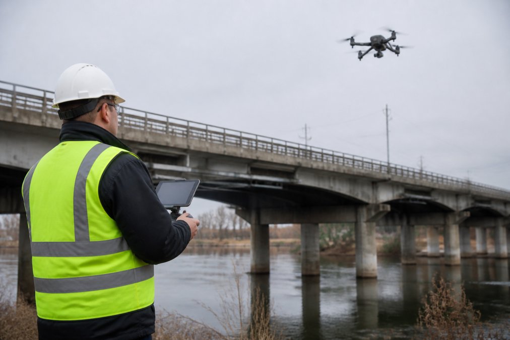
Flights over people represent a significant regulatory and liability boundary. The FAA permits flights over people under specific conditions, provided pilots follow documented risk mitigation protocols and the drone meets performance standards.
Infrastructure inspection often involves flying near populated areas, residential neighborhoods adjacent to power lines, pedestrians near cellular towers, and construction workers on building sites. Understanding which operations qualify for over-people flights and which require waivers is essential for operational planning.
Risk Mitigation and Incident Reporting Standards
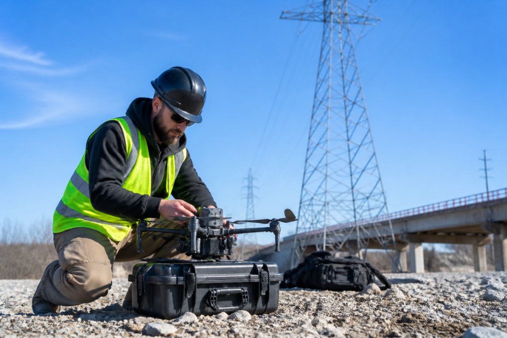
Risk mitigation begins with a formal assessment before any flight near people or critical infrastructure. This assessment identifies hazards, evaluates likelihood and consequence, and documents control measures. Control measures might include maintaining higher flight altitudes, deploying safety observers, establishing geofence boundaries in flight software, or scheduling flights during low-traffic periods.
Incident reporting requirements are non-negotiable. Any operational anomaly, loss of signal, unintended altitude deviation, proximity to restricted airspace, equipment malfunction, must be reported to the FAA within 24 hours if it involves injury or property damage.
Standard Operating Procedures for Structural Health Monitoring
Structural health monitoring through drone inspection requires standardized procedures that ensure consistency and accuracy across multiple inspections over time. A standard operating procedure for bridge inspection, for example, specifies flight altitudes, camera angles, sensor settings, and image overlap requirements that enable comparison between inspection cycles.
Effective SOPs address pre-flight setup, in-flight execution, and post-flight validation. Asset Integrity Management systems now integrate with drone inspection workflows, allowing operators to store SOPs in a centralized database and track compliance across multiple assets.
Drone Inspection Software and Data Privacy Compliance
Modern infrastructure inspection generates massive data volumes: thousands of high-resolution images, thermal datasets, and LiDAR point clouds. Managing this data securely while extracting actionable intelligence requires specialized software that addresses both technical performance and regulatory compliance.
Data privacy compliance has become inseparable from inspection software selection. NIST Cybersecurity Framework standards now apply to drone operations that collect imagery near critical infrastructure. Encryption in transit, secure storage, access controls, and audit logging are baseline requirements.
Cloud-Based Analytics and Post-Flight Data Validation
Cloud-based analytics platforms process raw inspection data into actionable intelligence. Thermal imaging software identifies temperature anomalies on electrical equipment. LiDAR processing generates 3D models for dimensional analysis. Automated defect detection algorithms flag cracks, corrosion, or vegetation encroachment indicating maintenance needs.
Post-flight data validation ensures imagery meets quality standards before analysis begins. This step checks for image sharpness, proper exposure, adequate overlap between frames, and sensor calibration verification. Validation typically occurs within hours of landing, allowing re-flights if quality falls short.
According to NIST Cybersecurity Framework guidance on critical infrastructure protection, organizations managing critical infrastructure data must implement encryption, access controls, and regular security assessments.
Sensor Fusion and Geospatial Accuracy Standards
Sensor fusion combines data from multiple sources, RGB cameras, thermal sensors, LiDAR, and inertial measurement units, to create comprehensive asset models. A single flight might generate RGB orthomosaics for visual inspection, thermal imagery for electrical anomalies, and LiDAR point clouds for dimensional analysis.
Geospatial accuracy standards specify how precisely software must map imagery to real-world coordinates. Infrastructure inspection often requires meter-level or sub-meter accuracy to support engineering decisions. Automated inspection techniques now use machine learning to detect anomalies in sensor data, flagging potential defects with higher consistency than manual review.
Cost of Drone Infrastructure Inspection and ROI Analysis
Infrastructure inspection represents a significant investment. Equipment costs range from $10,000 for basic inspection drones to $50,000+ for specialized platforms with advanced sensors. However, return on investment often justifies these expenses compared to traditional inspection methods.
Traditional inspection methods, rope access technicians, bucket trucks, scaffolding, are labor-intensive, time-consuming, and carry higher safety risks. Drone inspection reduces inspection time from weeks to days, lowers personnel risk, and often provides higher-resolution data.
Operational Efficiency and Predictive Maintenance Benefits
Operational efficiency gains manifest in reduced inspection cycles and faster data turnaround. What previously required three weeks of planning, equipment rental, and labor now takes three days with drone inspection. This acceleration enables more frequent inspection cycles, supporting predictive maintenance strategies that identify degradation before failure occurs.
Predictive maintenance uses inspection data to forecast when components will fail, enabling proactive replacement before catastrophic failure. Thermal imaging identifies overheating electrical components; corrosion detection algorithms flag coating degradation before structural integrity is compromised. Organizations implementing drone-based predictive maintenance typically report 15-25% reductions in maintenance costs through avoided emergency repairs.
| Inspection Method | Time Required | Safety Risk | Data Resolution | Cost per Inspection |
|---|---|---|---|---|
| Rope Access | 5-10 days | High | High | $5,000-$15,000 |
| Bucket Truck | 3-7 days | Medium | Medium | $3,000-$8,000 |
| Drone Inspection | 1-3 days | Low | Very High | Pricing depends on quantity, dates, and delivery. |
| Drone + Predictive Analytics | 1-3 days | Low | Very High | Pricing depends on quantity, dates, and delivery. |
Insurance and Liability Frameworks for Commercial Operations
Commercial drone liability coverage now addresses property damage, bodily injury, and cyber liability related to data breaches. Liability frameworks distinguish between operational liability (damage caused by drone malfunction) and professional liability (damages from inspection errors or missed defects).
Infrastructure inspection operators typically carry both coverages. Professional liability becomes critical when inspection reports inform engineering decisions; a missed defect could create significant liability exposure. Insurance carriers now require documented safety protocols, pilot training records, and incident history before issuing policies.
Common Mistakes in Drone Infrastructure Inspection Safety
Most infrastructure inspection programs fail not because of regulatory misunderstanding but because of operational shortcuts. Teams skip pre-flight airspace checks to save time. Pilots conduct flights with outdated software versions. Organizations store inspection imagery on unsecured cloud services to reduce IT overhead.
Another common mistake is treating safety standards as static. Regulations evolve; equipment capabilities improve; best practices shift. Documentation represents the third major failure point. Organizations conduct safe, compliant operations but fail to document them. Comprehensive documentation, flight logs, airspace authorizations, incident reports, training records, transforms operational safety into defensible compliance.
Implementing a Compliant Inspection Workflow
A compliant inspection workflow integrates regulatory requirements, operational procedures, and technical standards into a repeatable process. The workflow begins weeks before the actual flight with asset assessment and airspace research, continuing through pre-flight planning, in-flight execution, and post-flight analysis.
Effective workflows use checklists and software tools to enforce consistency. A pre-flight checklist ensures pilots verify airspace authorization, weather conditions, equipment functionality, and Remote ID status before takeoff.
Pre-Flight Planning and Regulatory Pathways
Pre-flight planning begins with determining which regulatory pathway applies to your operation. A visual line of sight inspection of a nearby structure might require only basic Part 107 certification. A BVLOS corridor inspection might require FAA waivers or exemptions. An inspection over populated areas requires documented risk mitigation.
Airspace research follows regulatory determination. Tools like FAA airspace maps, LAANC systems, and NOTAMs identify restrictions, temporary flight restrictions, and airspace classifications. Weather assessment is inseparable from pre-flight planning, informing flight scheduling and identifying backup dates if conditions deteriorate.
Asset Integrity Management and Automated Inspection Techniques
Asset Integrity Management systems provide the organizational framework for managing inspection data and tracking maintenance decisions. These systems store inspection reports, imagery, and analysis in a centralized database, enabling trend analysis across multiple inspection cycles and assets.
Automated inspection techniques use machine learning to detect anomalies consistently. Integration between Asset Integrity Management systems and drone inspection software enables seamless data flow from flight through analysis. Imagery automatically uploads upon landing. Defect detection algorithms run automatically. Reports generate with minimal manual intervention.
Infrastructure inspection conducted safely and compliantly protects both your team and your assets. The regulatory landscape in 2026 demands rigor across every operational phase, from pilot certification through post-flight analysis. Organizations that embed safety standards into their workflows, document their compliance, and invest in proper training and software position themselves for sustainable, profitable drone programs.
At Gods Eye Drone, we help infrastructure teams navigate this complexity through certified pilot expertise, state-of-the-art inspection equipment including advanced FLIR thermal imaging, and comprehensive data management systems that ensure compliance and deliver actionable intelligence. Our veteran-led team understands both the technical demands of infrastructure inspection and the regulatory environment that governs commercial operations. If your organization needs reliable, compliant infrastructure inspection, contact Gods Eye Drone to discuss how we can support your inspection program.
Frequently Asked Questions
What are the FAA Part 107 requirements for drone infrastructure inspection in 2026?
Remote pilots conducting commercial drone infrastructure inspections must hold an FAA Part 107 Remote Pilot Certificate. This requires passing the Part 107 knowledge test, demonstrating aeronautical knowledge, and maintaining currency through recurrent training. The certificate authorizes flight operations during daylight hours within visual line of sight. For BVLOS operations or night inspections, operators must obtain waivers or authorizations from the FAA, which require demonstrating additional safety measures and compliance frameworks.
How does Remote ID compliance affect drone infrastructure inspection operations?
Remote ID technology broadcasts the drone's location and operator identity in real time, enabling airspace authorities to track operations. For infrastructure inspection, Remote ID compliance is mandatory for all commercial flights. This affects your operational planning by requiring compatible equipment and integration with airspace authorization systems. Remote ID enables operations over people and critical infrastructure by providing continuous telemetry data that demonstrates safety compliance to regulators and emergency responders.
What drone inspection software features are essential for safety and regulatory compliance?
Effective drone inspection software must include cloud-based analytics for post-flight data validation, geospatial accuracy tools for asset integrity management, and automated incident reporting capabilities. The software should support sensor fusion from multiple data sources (thermal imaging, LiDAR, multispectral sensors) and generate compliance documentation. Look for platforms that integrate with airspace authorization systems, store encrypted flight logs for regulatory review, and provide real-time telemetry monitoring during operations.
What insurance and liability coverage do commercial drone operators need for infrastructure inspections?
Commercial drone operators conducting infrastructure inspections should carry general liability insurance covering bodily injury and property damage, with limits typically ranging from $1 million to $2 million depending on the scope of work. Operators flying over critical infrastructure or performing BVLOS operations often need higher limits. Professional liability insurance protects against claims of inadequate inspection results. Some clients require proof of coverage as a contract condition. Consult with an insurance provider experienced in commercial drone operations to determine appropriate coverage for your specific operational profile and risk exposure.
How can operators minimize costs while maintaining drone infrastructure inspection safety standards?
Cost efficiency comes from proper pre-flight planning, standardized operating procedures, and predictive maintenance scheduling. Invest in training and compliance upfront to avoid regulatory penalties and rework. Use cloud-based inspection software to reduce data processing time and improve asset integrity management. Group multiple inspections geographically to reduce travel overhead. Automated inspection techniques and sensor fusion capabilities reduce flight time per site. Establish relationships with clients for recurring work, which amortizes certification and equipment costs across more billable hours.
What interoperability standards should drone operators understand for infrastructure inspections?
Interoperability standards ensure your drone inspection data integrates with client asset management systems and regulatory databases. Key standards include FAA Remote ID protocols for airspace compatibility, geospatial data formats (GIS-compatible outputs), and thermal imaging standards for structural health monitoring. Your drone inspection software should support industry formats like GeoTIFF for ortho-rectified imagery and LAS for LiDAR point clouds. Understanding these standards prevents data silos and enables seamless handoff of inspection results to engineering teams and compliance auditors.
How do environmental impact and sustainability reporting apply to drone infrastructure inspections?
Drone inspections reduce environmental impact compared to traditional methods by eliminating heavy equipment mobilization, reducing fuel consumption, and minimizing site disturbance. For infrastructure operators pursuing sustainability goals, drone inspections support predictive maintenance that extends asset life and reduces replacement waste. Document inspection efficiency metrics (area surveyed per flight hour, carbon footprint per inspection) to demonstrate environmental benefits to clients. Some regulatory frameworks now require sustainability reporting for infrastructure projects, making drone inspection data valuable for demonstrating compliance with environmental standards.
This article was written using GrandRanker