 listicle
Commercial Drone Service Alternatives to MyDroneServices
Table of Contents
- Why Consider MyDroneServices Alternatives for Commercial Projects
- Quick Comparison: Top Alternatives at a Glance
- Commercial Drone Service Providers: Full-Service vs. Marketplace Models
- Drone Operations Software and Data Processing Platforms
- Drone Pilot Networks: Finding Certified Operators for Your Projects
- UAV Inspection Services: Specialized Solutions for Infrastructure and Assets
- Comparing MyDroneServices Alternatives by Industry and Use Case
- Pricing and ROI: What to Expect from Drone Service Alternatives
- Frequently Asked Questions
Commercial Drone Service Alternatives to MyDroneServices
Last Updated: July 22, 2026
When commercial projects demand aerial intelligence, the choice of drone service provider affects your timeline, budget, and deliverables. Finding the right mydroneservices alternative requires understanding which solution fits your specific needs, infrastructure inspection, real estate marketing, construction monitoring, or emergency response. This guide breaks down the landscape of drone service alternatives so you can select the provider that delivers results for your project type.
Why Consider MyDroneServices Alternatives for Commercial Projects
The drone services market has matured into a fragmented ecosystem of full-service providers, software platforms, pilot networks, and specialized inspection companies. Each model has distinct advantages depending on your project scope, timeline, and technical requirements.
A mydroneservices alternative isn't just about finding another vendor, it's about finding the right operational model. Some teams need turnkey solutions where a single company handles everything from flight planning to final deliverables. Others prefer software platforms that let them manage their own drone programs. Still others benefit from on-demand access to certified pilots without equipment overhead.
The critical decision: Do you want to outsource the entire aerial data process, or build internal capability? Your answer determines which alternatives make sense.
Quick Comparison: Top Alternatives at a Glance
| Provider Type | Best For | Typical Model | Primary Advantage |
|---|---|---|---|
| Full-Service Providers | Projects needing turnkey execution | Company manages pilots, equipment, data | Single point of accountability |
| Pilot Networks | Teams with internal processing capability | Marketplace connects you with certified pilots | Cost flexibility and local expertise |
| Software Platforms | Organizations building drone programs | Cloud processing and fleet management | Automation and integration |
| Specialized Inspectors | Infrastructure and asset-specific work | Domain expertise plus equipment | Deep technical knowledge for complex assets |
Commercial Drone Service Providers: Full-Service vs. Marketplace Models
The first decision is operational model. Full-service providers own equipment, employ certified pilots, process data, and deliver final products. Marketplace networks connect you with independent pilots who bring their own equipment. Each serves different organizational needs.
Full-service providers absorb risk and complexity, delivering consistency and accountability. The trade-off is less price flexibility and potentially longer booking windows. Marketplace models offer speed and cost control, but you manage more variables and quality can vary.
Full-Service Providers Like Gods Eye Drone
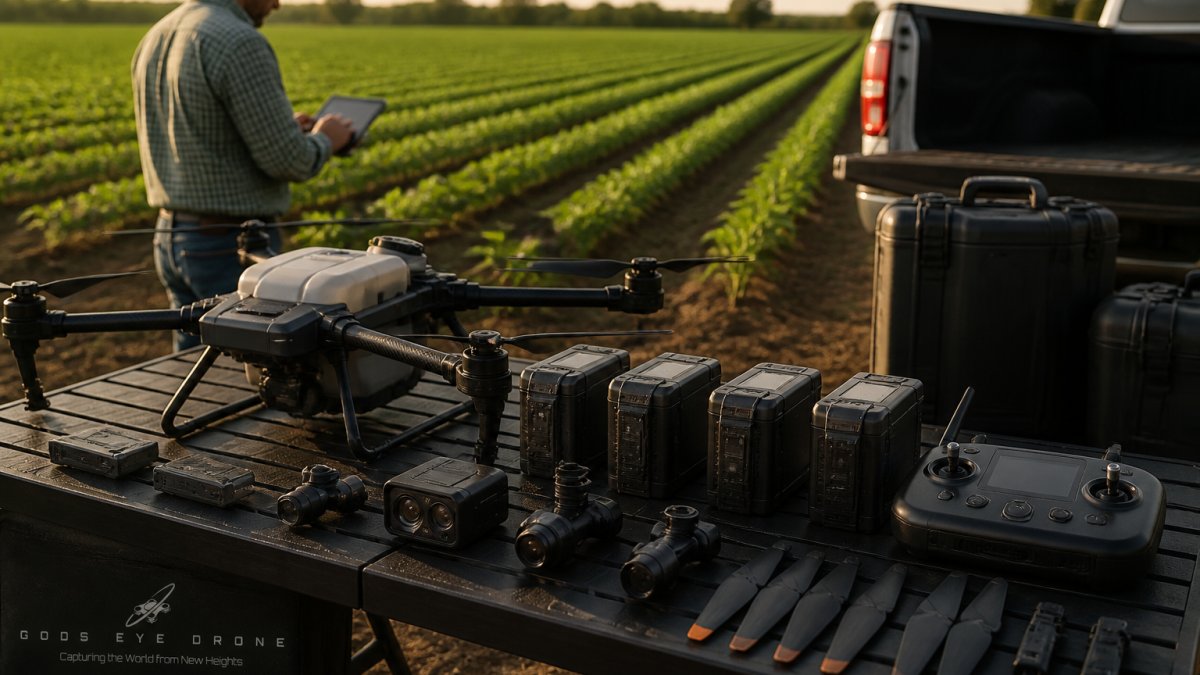
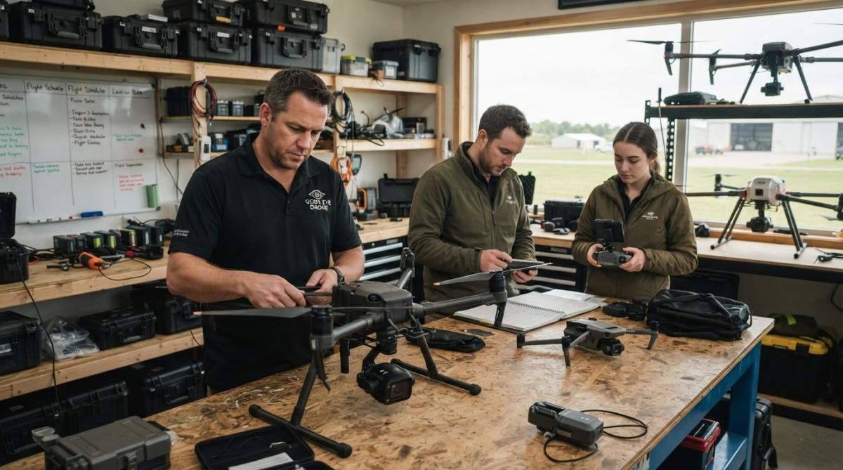
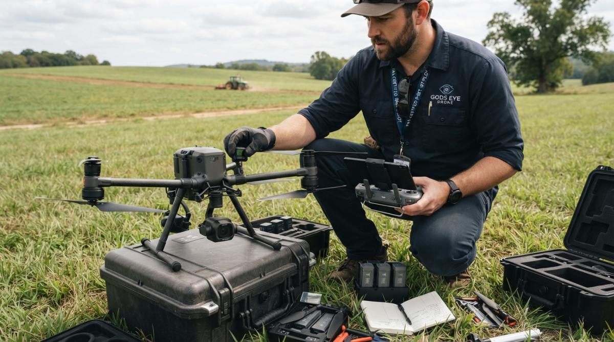
Gods Eye Drone operates as a veteran-owned, full-service alternative for commercial projects. The company handles aerial photography, videography, specialized inspections, and search and rescue support using state-of-the-art equipment including advanced FLIR thermal imaging. This end-to-end model means you work with certified pilots who manage flight planning, data collection, processing, and delivery.
The full-service advantage becomes clear on complex projects. Infrastructure inspections demand equipment expertise, regulatory knowledge, and safety protocols. A full-service provider brings all of this without requiring your team to become drone specialists.
Real estate agents often find full-service providers deliver faster turnaround than marketplace alternatives. Rather than posting a job, waiting for bids, and coordinating schedules, you contact one vendor with predictable quality and availability. For agents managing 15-20 listings monthly, this efficiency compounds significantly.
Marketplace Networks: FlyGuys, Droners.io, and DRONEWORK
Marketplace models invert the relationship. You post your project and licensed pilots bid on the work. FlyGuys operates as a managed marketplace connecting enterprise clients with FAA-certified pilots nationwide. Droners.io functions as an open platform where pilots post portfolios and clients hire based on price and experience. DRONEWORK positions itself as an end-to-end platform matching clients with pilots and handling payment.
FlyGuys appeals to large organizations with recurring drone needs. The platform provides vetted pilots, handles scheduling, and manages payment. For energy companies monitoring transmission lines or construction firms tracking progress across multiple sites, FlyGuys offers scale. LiDAR services typically range from $6,500 to $9,000 per day.
Droners.io works differently. You post your job, pilots bid, and you hire directly. This creates price competition, with rates often compressing. For budget-conscious teams, this is attractive. For teams prioritizing consistency, quality variability is a risk.
The marketplace advantage: you control pricing and find local pilots quickly. The disadvantage: quality variability and administrative burden. If you're coordinating dozens of shoots annually, the coordination overhead grows.
Drone Operations Software and Data Processing Platforms
If your organization operates its own drones or works with multiple pilots, software platforms automate flight planning, process aerial imagery into maps and 3D models, and integrate with existing workflows.
Cloud-Based Mapping: DroneDeploy and Pix4D
DroneDeploy is a cloud-based platform designed for construction and agriculture. It automates flight planning, processes imagery into orthomosaics and 3D models, and integrates with Procore and Autodesk. Starting at $4,188 per year, it's positioned for enterprise teams.
The strength: integration. If your construction team uses Procore, DroneDeploy data flows directly into your project workflow. Progress monitoring becomes automated. The limitation: processing can take 2-24 hours with no guaranteed SLA, and you're locked into DJI drones.
Pix4D offers both desktop and cloud processing, starting at $49.20 per month. It specializes in photogrammetry, converting drone imagery into precise 2D maps, 3D models, and digital elevation models. For agriculture, PIX4Dfields adds vegetation indices and prescription maps for precision farming.
The advantage: modularity. You buy specific products you need. For surveying teams needing high-accuracy orthos, Pix4D's accuracy is industry-standard. The limitation: higher pricing for advanced features and larger projects.
Fleet Management and Automation: Measure Ground Control and AirWorks
Measure Ground Control positions itself as the operational backbone for drone programs, starting at $29 per month. The platform handles flight planning, mission scheduling, equipment management, and map generation. It integrates with Pix4D for cloud-based processing.
The real value: Measure Ground Control treats drone operations like an organized program. You track which pilots flew which missions, maintain equipment records, and generate standardized reports. For organizations with 3-5 pilots and regular flight schedules, this structure prevents chaos.
AirWorks is an AI-powered platform that automates the mapping process from aerial data. Rather than requiring manual flight planning and data processing, AirWorks automates both. The platform integrates with CAD and GIS, so data flows directly into your design workflow. Pricing is custom, but the platform promises to eliminate data bottlenecks.
The advantage: speed. For pre-construction mapping, AirWorks can turn raw drone footage into usable CAD-ready data in days rather than weeks. The limitation: implementation takes 2-6 weeks depending on complexity.
Drone Pilot Networks: Finding Certified Operators for Your Projects
Beyond full-service providers and software platforms lies a simpler model: access to certified pilots without employment or equipment ownership overhead.
Aloft (formerly Kittyhawk) provides an FAA-approved airspace and fleet management platform designed for public safety and enterprise operations. The platform handles flight planning, logging, and real-time airspace intelligence. Pricing isn't publicly available, and the platform is more complex than most small teams need, but for organizations managing large drone fleets or operating in restricted airspace regularly, the compliance infrastructure justifies the investment.
UAV Inspection Services: Specialized Solutions for Infrastructure and Assets
Some projects demand domain expertise beyond general drone services. Infrastructure inspection, bridge assessment, power line surveys, and solar panel analysis require knowing what to look for, which sensors to deploy, and how to interpret results.
PrecisionHawk provides end-to-end aerial data solutions including hardware, software, and services. The company offers various drone and sensor options for purchase or lease, plus field technician services. Starting at approximately $15,000 for basic drone hardware, PrecisionHawk targets organizations building comprehensive aerial programs.
The advantage: PrecisionHawk combines hardware, software, and services into one relationship. For power transmission infrastructure inspection, the company provides the drone, thermal sensors, flight expertise, and data analysis. The limitation: high initial investment and opaque pricing for software and services.
For most commercial projects, specialized inspection services are hired on a project basis rather than as ongoing relationships.
Comparing MyDroneServices Alternatives by Industry and Use Case
The right alternative depends entirely on your industry and specific needs.
Real Estate and Property Assessments
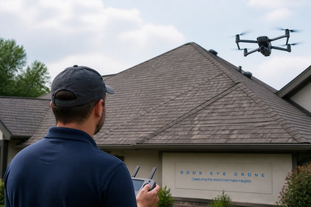
Real estate agents need fast turnaround and professional-quality aerial photography and videography. Full-service providers like Gods Eye Drone excel here. Agents schedule a shoot and receive edited footage within 2-3 days with consistent quality and predictable turnaround.
Marketplace pilots work for price-conscious agents willing to trade convenience for cost. You post your property, pilots bid, and you hire the lowest-cost option. Quality varies, but you save money.
Construction Progress Monitoring and Site Surveying
Construction teams benefit from regular aerial documentation of site progress. Software platforms shine here. DroneDeploy or Pix4D integrated with Procore creates a workflow where construction teams launch flights on a schedule, the platform processes data, and Procore automatically updates with current site conditions.
For surveying, creating site maps and calculating volumetrics, Pix4D's accuracy makes it the standard choice. Surveyors need precise orthos and elevation models, not just pictures.
Agriculture and Environmental Monitoring
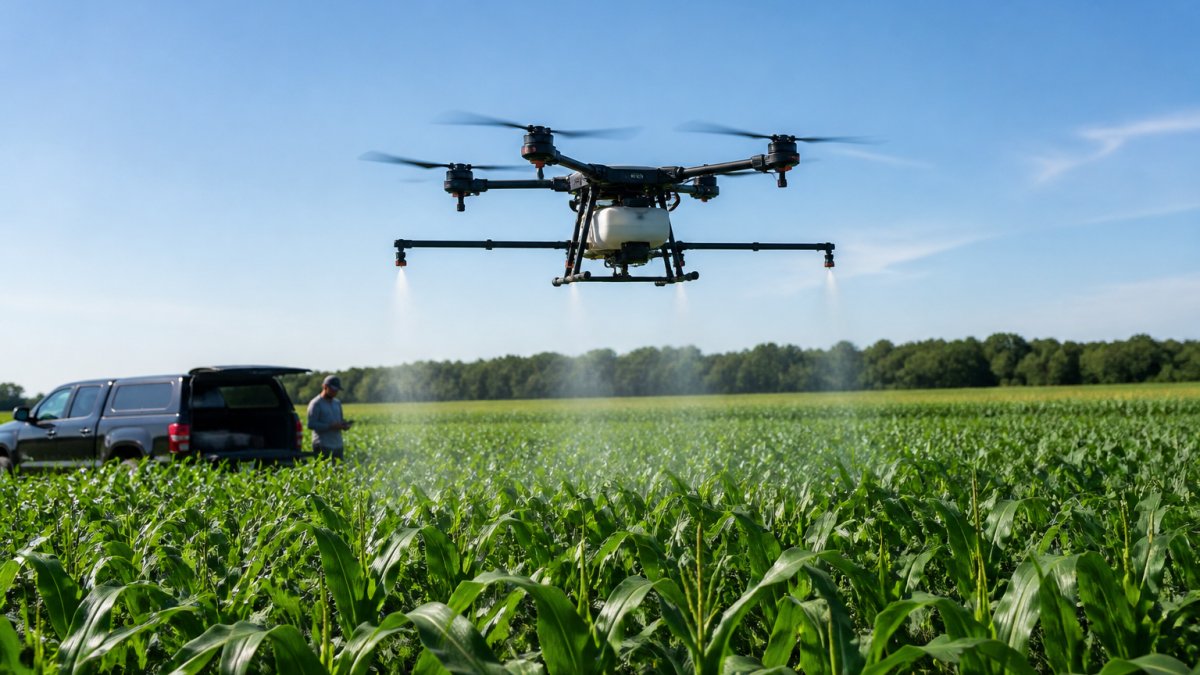
Precision agriculture relies on regular aerial data and multispectral imagery to assess crop health and optimize fertilizer application. Pix4D's PIX4Dfields product is purpose-built for this, processing multispectral imagery into vegetation indices and prescription maps. For farms managing hundreds or thousands of acres, this precision translates to measurable yield improvements.
Environmental monitoring follows similar patterns. Specialized software platforms designed for specific environmental metrics outperform general-purpose drone services.
Emergency Response and Search and Rescue
Emergency response demands speed, reliability, and operators experienced in high-pressure situations. Gods Eye Drone explicitly supports search and rescue operations with trained pilots, appropriate equipment including FLIR thermal imaging, and experience coordinating with emergency services.
Marketplace pilots are less reliable for emergency work. You need a vendor who answers the phone at 2 AM with equipment ready to deploy immediately.
Pricing and ROI: What to Expect from Drone Service Alternatives
Pricing varies dramatically across alternatives. Full-service providers like Gods Eye Drone charge per project based on scope. Marketplace pilots on Droners.io range from $300-$2,000 for a single real estate shoot. FlyGuys LiDAR services start around $6,500-$9,000 per day.
Software platforms have transparent pricing: DroneDeploy at $4,188 annually, Pix4D starting at $49.20 monthly, Measure Ground Control from $29 monthly.
The ROI calculation depends on your use case. Real estate agents often recoup drone costs through faster sales and higher prices. Construction teams using automated progress monitoring reduce documentation time. Agricultural operations using precision imaging optimize input costs and improve yields.
The question isn't whether drone services are worth the cost, it's whether you're using the right vendor for your specific needs.
Choosing the right mydroneservices alternative for commercial projects comes down to matching your operational needs with the right vendor model. Full-service providers like Gods Eye Drone deliver turnkey execution, consistent quality, and single-point accountability with advanced FLIR equipment and certified pilots across real estate, agriculture, infrastructure inspection, and emergency response. For budget-conscious teams managing simple projects, marketplace pilots offer flexibility. For organizations building drone programs, software platforms automate workflows. The key is clarity on what you're buying and which alternative solves your specific problem.
Frequently Asked Questions
What are the main differences between full-service drone providers and marketplace-based alternatives?
Full-service commercial drone service providers like Gods Eye Drone employ dedicated certified pilots and maintain their own equipment, offering direct accountability and consistent quality. Marketplace alternatives like Droners.io and FlyGuys connect you with independent pilots, allowing price comparison and flexibility but requiring more coordination. Full-service providers typically offer specialized services like thermal imaging and search-and-rescue support, while marketplaces excel at handling volume work across multiple vendors.
How do drone operations software platforms help commercial projects?
Drone operations software automates flight planning, data processing, and analytics for commercial projects. Platforms like DroneDeploy and Pix4D generate 3D models, orthomosaics, and volumetric data from aerial imagery. AirWorks uses AI to automate mapping from drone data. These tools integrate with construction management software like Procore, reducing manual processing time and enabling real-time project monitoring. Pricing typically ranges from subscription models to project-based fees, depending on the platform and your data volume.
What certifications and insurance should I verify when selecting a drone pilot network alternative?
All commercial drone pilots in the US must hold an FAA Part 107 license. Verify that pilots are actively certified and insured for your specific project type, liability coverage is critical for infrastructure inspections and emergency response work. Reputable drone pilot networks like FlyGuys and Droners.io vet pilots for proper licensing. Ask about general liability insurance limits (typically $1-2 million) and whether the provider carries errors-and-omissions coverage. Request proof of current certifications before engaging any pilot.
How long does it typically take to receive final deliverables from drone service alternatives?
Turnaround times vary significantly. Full-service providers often deliver edited footage and reports within 3-7 business days. Software-based platforms like DroneDeploy can process data in 2-24 hours, though complex projects may take longer. Marketplace pilots may negotiate custom timelines based on project scope. AirWorks implementation ranges from 2-6 weeks for complex projects. Always confirm delivery deadlines upfront, especially for time-sensitive commercial projects like construction progress tracking or emergency response operations.
Can drone service alternatives help process raw footage from previous projects?
Yes, many alternatives offer post-processing and data organization services. Pix4D and DroneDeploy specialize in processing existing aerial imagery into 3D models and maps. AirWorks automates mapping from raw drone data through AI. However, full-service providers like Gods Eye Drone may focus primarily on new content capture. Contact potential providers directly about their archival footage processing capabilities, as pricing and turnaround vary based on file size, format, and desired output deliverables.
This article was written using GrandRanker