 listicle
Best Drone Service for Construction Monitoring
Table of Contents
- Why Construction Teams Choose Drone Monitoring Services
- Top Drone Services for Construction Site Monitoring
- Drone Construction Progress Report Examples and Deliverables
- FAA Part 107 Drone Regulations for Construction Operations
- Cost of Drone Site Monitoring: What to Budget
- In-House Drone Operations vs. Outsourced Services
- How to Choose the Right Drone Service for Your Project
- Frequently Asked Questions
Last Updated: August 5, 2026
Why Construction Teams Choose Drone Monitoring Services
Drone monitoring has become essential for construction project managers who need real-time visibility into site progress, safety risks, and earthwork accuracy. The best drone service for construction monitoring combines high-resolution aerial data, rapid processing, and seamless integration with your existing project management workflows. What separates a good service from an exceptional one isn't just the drone hardware, it's how quickly you get actionable data and whether it actually connects to your CAD, BIM, and project management software.
At Gods Eye Drone, we understand that construction teams operate under tight schedules and budgets. The right drone service eliminates guesswork from progress tracking, validates earthwork volumes before disputes arise, and creates a permanent visual record of every phase. This guide breaks down the top drone services for construction monitoring, explains what makes each one valuable for different project types, and shows you how to pick the right partner for your needs.
Construction firms increasingly rely on aerial data for more than just pretty photos. Drone monitoring delivers survey-grade mapping, volumetric analysis for cut-and-fill operations, thermal inspections for infrastructure integrity, and autonomous flight workflows that reduce pilot labor costs. The question isn't whether to use drone services, it's which service fits your project's specific requirements and timeline.
Top Drone Services for Construction Site Monitoring
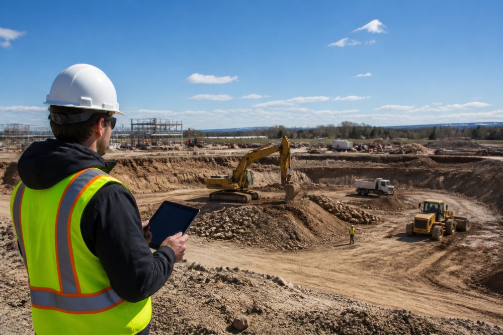
Gods Eye Drone: Full-Service Local Expertise
Gods Eye Drone leads this category because it combines veteran-owned reliability with the technical depth that construction projects demand. Our full-service approach means you get certified drone pilots, state-of-the-art technology including advanced FLIR equipment, and direct accountability to your project timeline.
What sets Gods Eye Drone apart is the integration of specialized inspection capabilities with standard aerial photography. We don't just capture images, we deliver aerial environmental intelligence that construction teams can immediately act on. For infrastructure inspections, thermal imaging reveals structural defects, moisture infiltration, and equipment failures that standard photography misses entirely. This matters on projects where safety and compliance are non-negotiable.
Our certified pilots understand construction workflows. We know that a progress report due Tuesday morning is worthless if delivered Wednesday evening. We know that volumetric data for earthwork validation needs to be accurate to within centimeters, not meters. We know that your team needs files in formats that integrate with your existing CAD and BIM software, not proprietary formats that require conversion.
The advantage of working with a local, full-service provider is responsiveness. Weather delays, schedule changes, and urgent documentation needs happen on every project. Gods Eye Drone operates in the Kansas City region with the flexibility to adapt to your project's real-world constraints.
DroneDeploy: Cloud-Based Progress Tracking and BIM Integration
DroneDeploy targets construction teams that want to manage drone data like they manage their project management software, through a cloud platform with automated workflows. If your team already uses Procore, Autodesk Build, or BIM 360, DroneDeploy's integration approach makes sense.
The platform delivers georeferenced maps with design overlays, volume checks, and earthwork validation at survey-grade accuracy. This means you can compare actual site conditions against your design plans directly within the software, identify deviations before they become costly rework, and validate cut-and-fill quantities automatically. DroneDeploy also supports docked drone flights and ground robotic walkthroughs, creating a unified reality capture system across multiple data sources.
Processing speed matters on tight schedules. DroneDeploy typically processes drone imagery within 2-4 hours for standard projects, though processing can extend to 24 hours for larger datasets. The cloud-based approach means your team accesses data from anywhere, the site, the office, or a client meeting, without managing local file storage.
The limitation is hardware flexibility. DroneDeploy primarily supports DJI drones, which constrains your options if you need specialized sensors or have existing equipment investments with other manufacturers.
Propeller Aero: Precision Earthwork Monitoring and Volumetric Analysis
Propeller Aero specializes in what construction teams care about most: accurate earthwork tracking. If your project involves significant excavation, grading, stockpile management, or material movement, Propeller's volumetric analysis tools deliver centimeter-level accuracy using AeroPoints GNSS ground control hardware.
The platform combines 3D drone surveys with design overlays to show exactly where your site stands relative to the plan. Cut-and-fill calculations become automatic rather than manual and error-prone. Material tracking prevents costly overages, and design conformance checks happen in real time rather than during final inspection.
Propeller's 24-hour processing window fits most construction schedules. The tradeoff is the requirement for proprietary AeroPoint GNSS hardware to achieve that centimeter-level accuracy, additional equipment that adds cost and complexity to each survey.
FlyGuys: Nationwide On-Demand Drone Services
FlyGuys operates across the entire United States with a network of certified pilots who can mobilize quickly to your site. For construction companies managing multiple projects across different regions, having a single vendor relationship that works nationwide simplifies logistics.
The service delivers high-resolution aerial imagery, accurate topographic mapping for planning and site development, and cut-fill analysis for earthwork management. Time-stamped visual records create accountability and support communication with stakeholders who can't visit the site regularly.
The tradeoff with on-demand services is the loss of continuity. Different pilots may capture data differently, and you're dependent on scheduling availability rather than having a dedicated partner who knows your project intimately.
Multivista: Multi-Angle Construction Documentation
Multivista captures construction sites from multiple perspectives, straight down, oblique angles, and across project phases, creating a comprehensive visual record. This multi-angle approach is valuable for projects requiring detailed documentation for legal protection, client communication, or insurance purposes.
The service integrates with DroneDeploy's mapping software, so you get both the visual documentation and the interactive 3D maps. For vertical construction projects like high-rise buildings or bridge work, the oblique photography reveals details that overhead views miss.
The limitation is that Multivista focuses on documentation rather than precision measurement. If volumetric analysis or survey-grade mapping is your priority, other services deliver more specialized capabilities.
Drone Construction Progress Report Examples and Deliverables
Understanding what you'll actually receive from a drone service matters before you commit. A quality drone construction progress report includes multiple deliverable types, each serving different stakeholder needs.
Standard deliverables from professional drone services include orthomosaics (georeferenced overhead maps that look like satellite imagery but with construction-site-level detail), 3D point clouds (millions of precisely located data points that create a digital model of the site), and interactive 3D models that stakeholders can explore without technical software.
Progress reports typically include before-and-after comparisons showing site changes between flights, volumetric measurements for earthwork tracking, and visual documentation of specific areas of interest. Many services deliver these through web-based platforms where project teams can review, measure, and annotate directly in the browser.
The best services provide raw data files (LAS point clouds, GeoTIFF orthomosaics) that integrate with your CAD and BIM software, plus processed reports that non-technical stakeholders can understand. This dual approach ensures both your engineering team and your client can work with the data effectively.
| Deliverable Type | Primary Use | Best For |
|---|---|---|
| Orthomosaic | Visual progress documentation | Client updates, site communication |
| Point Cloud | Precise 3D measurements | Volumetric analysis, design conformance |
| 3D Model | Stakeholder visualization | Client presentations, design review |
| Cut-Fill Analysis | Earthwork validation | Budget tracking, material management |
| Thermal Data | Infrastructure inspection | Defect detection, safety assessment |
FAA Part 107 Drone Regulations for Construction Operations
Construction sites present specific regulatory challenges for drone operations. The FAA Part 107 regulations govern commercial drone use in the United States, and construction monitoring falls squarely into commercial territory.
Key requirements include maintaining visual line of sight with the drone at all times (though operations can occur beyond visual line of sight with proper waivers), flying during daylight hours only, maintaining altitude below 400 feet above ground level, and keeping the drone away from people and structures. Construction sites present unique constraints, active equipment, workers, and moving machinery complicate flight planning.
Professional drone services carry Part 107 certification and the required insurance coverage. This matters because your liability extends to the drone service you hire. If a drone malfunction injures someone or damages property, you need documentation that the service maintained proper certification and insurance.
Many construction sites require additional waivers for operations beyond standard Part 107 limitations. Flying over active work areas, operating at night for thermal inspections, or conducting flights in controlled airspace near airports requires advance FAA approval. Professional services handle this paperwork and maintain relationships with local flight authorities.
The data security and privacy implications matter too. Construction sites contain proprietary information about design, costs, and schedules. Ensure your drone service has written data security protocols and clearly defined data ownership, you should own the raw data and retain rights to how it's used.
Cost of Drone Site Monitoring: What to Budget
Drone service pricing varies based on site size, flight frequency, processing complexity, and deliverable types. Rather than guessing at costs, request quotes from multiple services with detailed specifications about your project's requirements.
When evaluating pricing, consider total cost of ownership rather than per-flight fees. A service that costs more per flight but delivers faster processing and better software integration might provide better value than a cheaper option that requires significant manual post-processing or delays your decision-making timeline.
Frequency matters too. Single-flight documentation costs differently than recurring weekly monitoring. Monthly contracts often provide better per-flight pricing than one-off requests. Factor in how the service scales, does pricing stay consistent as you increase flight frequency, or do costs rise proportionally?
In-House Drone Operations vs. Outsourced Services
Some construction firms consider purchasing their own drone equipment and training pilots internally. This decision depends on project volume, required expertise, and long-term capital investment.
In-house operations make sense if you fly regularly, weekly or more frequent monitoring across multiple projects. You control scheduling, maintain consistent data capture standards, and avoid vendor dependency. The tradeoff is significant: drone hardware costs $5,000 to $25,000+ depending on sensor requirements, pilot certification requires training and testing, and maintaining current FAA compliance adds ongoing administrative work.
Outsourced services work better for intermittent needs or specialized requirements. You pay per flight rather than maintaining equipment and staff. You get access to pilots experienced across different project types. You avoid the liability and insurance complexity of operating your own program.
The hybrid approach, outsourcing routine progress monitoring while maintaining in-house capability for specialized inspections, works well for large construction firms with diverse project types.
How to Choose the Right Drone Service for Your Project
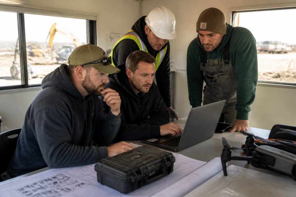
Start with your specific needs. Are you primarily documenting progress for stakeholder communication, or do you need precision measurements for earthwork validation? Do you require thermal imaging for infrastructure inspection, or is standard RGB photography sufficient? These requirements narrow your options significantly.
Evaluate integration capabilities. If your team uses Procore, Autodesk, or similar platforms, choose a service that connects directly rather than requiring manual data transfer. Seamless integration saves time and reduces errors.
Check certifications and insurance. Verify that pilots hold current Part 107 certifications and that the service carries adequate liability insurance. Request proof of insurance and review coverage limits against your project's risk profile.
Ask about processing timelines. Understand how quickly you'll receive deliverables and whether that timeline fits your decision-making needs. A service that processes data in 2 hours is worthless if you need results in 30 minutes, and a 48-hour service is inefficient if you only need updates weekly.
Request references from similar projects. Ask for examples of previous work, not just marketing materials, but actual deliverables you'll receive. Review the quality, format, and usability of their standard outputs.
Discuss data ownership and security explicitly. Confirm that you own the raw data, understand how it's stored and protected, and clarify any restrictions on how you can use it. This matters particularly for competitive or sensitive projects.
For construction teams in the Kansas City area, Gods Eye Drone brings local expertise and rapid response capability that national services can't match. Our veteran-owned operation understands construction workflows, delivers certified pilot expertise, and provides the accountability that comes from working with a partner who's invested in your local market.
Frequently Asked Questions
What makes a drone service for construction monitoring reliable and accurate?
Reliable drone services combine certified FAA Part 107 pilots, survey-grade equipment capable of generating orthomosaics and point clouds, and proven data processing workflows. Look for services that deliver georeferenced maps with documented accuracy standards, integrate with your construction management software, and provide consistent turnaround times. Certified operators understand airspace restrictions, weather limitations, and safety protocols that protect your site and data.
How do drone construction progress report examples help with project documentation?
Drone progress reports provide time-stamped visual records, volumetric measurements, and orthomosaics that document site conditions across project phases. These reports enable stakeholders to verify progress against schedule, track earthwork quantities, identify safety hazards, and resolve disputes about work completion. High-quality reports integrate design overlays with as-built imagery, making them actionable for both field teams and office management.
What are the key FAA Part 107 drone regulations for construction operations?
FAA Part 107 requires drone operators to maintain visual line of sight, fly below 400 feet AGL, avoid flying over people, and obtain airspace authorization for controlled airspace. For construction sites, operators must follow waiver procedures for operations over structures and obtain waivers for flights beyond visual line of sight if using autonomous flight planning. Certified pilots carry liability insurance and maintain current knowledge of local airspace restrictions and TFRs.
What is the typical cost of drone site monitoring for construction projects?
Drone service costs vary based on site size, frequency of flights, data processing complexity, and deliverable type. Single-visit documentation runs significantly less than recurring monitoring programs. Factors affecting pricing include orthomosaic generation, volumetric analysis, BIM integration, and software subscriptions. Request quotes from multiple providers specifying your exact needs, frequency, site area, required accuracy, and software integration, to compare true value rather than base price alone.
Should we hire a drone service or invest in in-house drone operations?
In-house operations make sense for large contractors with frequent, recurring projects and the budget for pilot certification, hardware, and software licensing. Outsourced services work better for smaller projects, one-time documentation needs, or when specialized equipment like thermal imaging is required infrequently. Consider pilot certification costs ($500-$1,500), drone hardware ($2,000-$25,000+), software subscriptions, and liability insurance against the cost of outsourced flights when deciding.
Choosing the right drone service accelerates your project timeline, prevents costly earthwork disputes, and creates permanent documentation of every phase. Gods Eye Drone delivers certified pilot expertise, state-of-the-art FLIR equipment, and the kind of responsive local partnership that construction teams depend on. Book Now to discuss your project's specific requirements and get a service plan built around your timeline and budget.
This article was written using GrandRanker