 listicle
Extreme Aerial Alternatives to Drone Services: A Complete Guide
Table of Contents
- When Extreme Aerial Alternatives to Drone Services Make Sense
- Understanding the Limitations of Standard UAV Mapping
- Cost-Benefit Analysis: Drones vs. Traditional Alternatives
- Manned Fixed-Wing Aircraft for Large-Scale Aerial Data Collection
- LiDAR and Advanced Sensor Integration
- Manned Helicopter Services for Complex Aerial Inspections
- Cable Camera Systems and Telescopic Pole Solutions
- Tethered Aerostat Systems for Persistent Surveillance
- High-Altitude Pseudo-Satellites (HAPS) and Hydrogen-Powered Solutions
- UAV Alternatives for Inspection in Extreme Conditions
- Powered Parachutes and Low-Altitude Observation
- Safety and Liability Comparison Across Platforms
- Frequently Asked Questions
Extreme Aerial Alternatives to Drone Services: A Complete Guide
Last Updated: July 24, 2026
When a project demands extreme aerial alternatives to drone services, you're looking beyond standard UAV operations. Weather limitations, regulatory restrictions, required endurance, payload capacity, or coverage area sometimes make traditional drones insufficient. This guide examines real alternatives available to professional teams that need aerial intelligence but face constraints where standard quadcopters or fixed-wing drones fall short.
When Extreme Aerial Alternatives to Drone Services Make Sense
Standard UAV mapping covers roughly 300-500 acres per flight hour under ideal conditions. A manned fixed-wing aircraft covers 5,000+ acres in the same timeframe. For a survey project spanning 50,000 acres, you're looking at dozens of drone flights versus a single aircraft mission. The economics shift dramatically at scale.
Weather also matters more than marketing materials admit. Drones struggle in sustained winds above 25 mph. Thermal imaging from a drone at 400 feet altitude produces lower resolution than the same sensor at 5,000 feet. A helicopter can hover in conditions that ground drones entirely.
Regulatory compliance creates additional friction. The FAA's Part 107 rules govern commercial drone operations with specific altitude limits, line-of-sight requirements, and airspace restrictions. Some applications, particularly search and rescue operations or critical infrastructure inspection in sensitive airspace, require manned aircraft with different certification paths.
Understanding the Limitations of Standard UAV Mapping
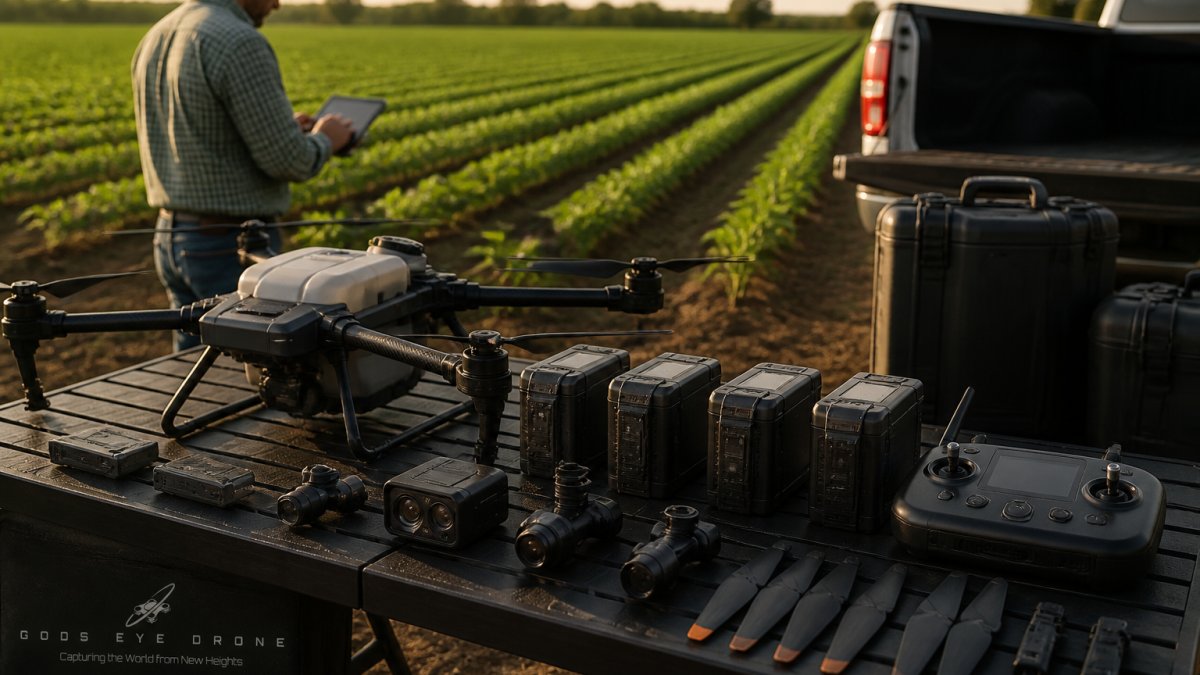
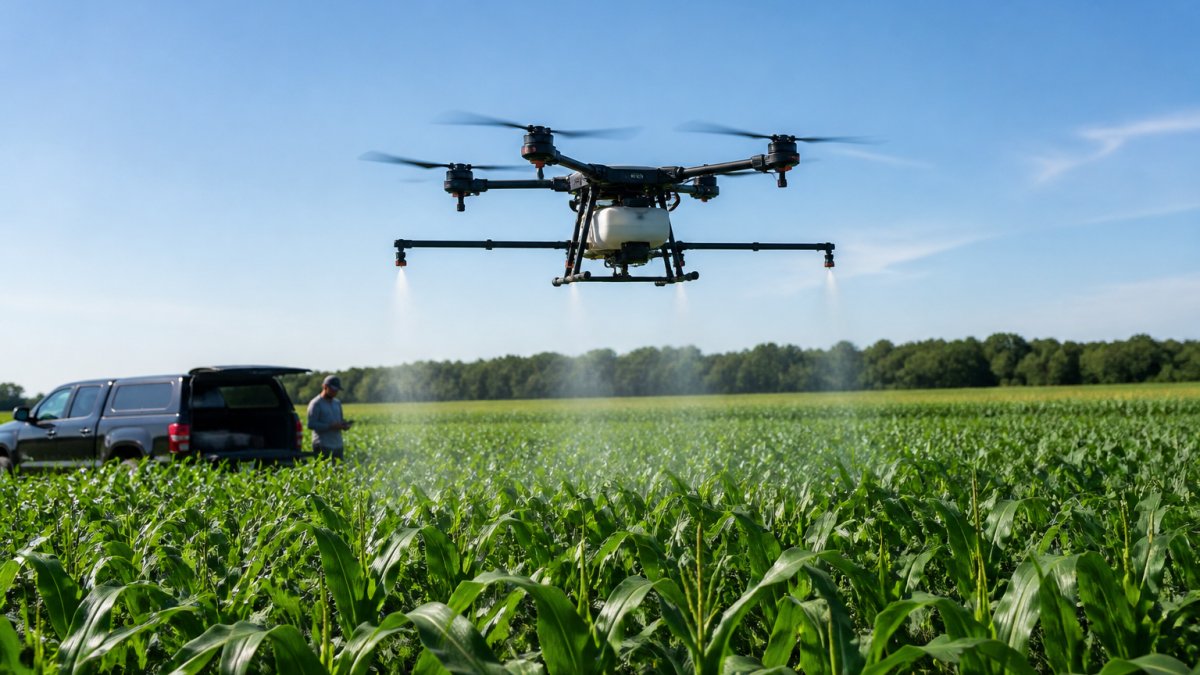
Drones excel at close-range, high-resolution work but struggle with wide-area coverage, extended endurance, or heavy sensor payloads. A typical commercial drone carries roughly 2.7 kg of payload and operates for 30-45 minutes per battery cycle.
LiDAR sensors, which generate detailed 3D point clouds for topographic mapping, weigh 5-15 kg depending on the system. Thermal imaging rigs for building envelope analysis often exceed drone payload limits. When you need the sensor more than you need the platform's agility, a heavier aircraft becomes more cost-effective.
Mapping a 100-acre parcel with a drone requires 8-12 flights, each requiring battery swaps and position adjustments. A manned aircraft covers the same area in one sortie. For cadastral surveys, corridor mapping, or environmental monitoring across large regions, the drone's endurance limitation becomes a project bottleneck.
Cost-Benefit Analysis: Drones vs. Traditional Alternatives
The per-flight cost of drone operations is genuinely low. A certified pilot with a commercial drone platform can execute a mapping mission for a few hundred dollars in direct costs. That economics works for small projects and single-site inspections.
Scale changes the equation. A 50,000-acre survey project requiring 100 drone flights becomes expensive in pilot time, battery replacements, and data processing labor. A single manned aircraft mission produces the same deliverables faster. The aircraft's higher per-flight cost is offset by fewer flights required.
Regulatory compliance adds hidden costs to drone operations. Part 107 certification requires training and recurrent testing. Airspace authorization requires FAA coordination. Insurance and liability coverage add 15-25% to project costs. These overhead costs become marginal on large, complex missions where manned aircraft already carry similar compliance burdens.
| Platform Type | Typical Coverage per Hour | Payload Capacity | Operational Duration | Best For |
|---|---|---|---|---|
| Multi-rotor Drone | 50-150 acres | 2-5 kg | 20-45 minutes | Small sites, close inspections |
| Fixed-Wing Drone | 300-500 acres | 3-8 kg | 45-120 minutes | Medium-area mapping, surveys |
| Manned Fixed-Wing Aircraft | 5,000+ acres | 50-200 kg | 4-8 hours | Large-scale mapping, LiDAR surveys |
| Manned Helicopter | 1,000-2,000 acres | 100-300 kg | 3-6 hours | Complex inspections, hovering work |
| Tethered Aerostat | Fixed position | 20-50 kg | Unlimited | Persistent surveillance, events |
Manned Fixed-Wing Aircraft for Large-Scale Aerial Data Collection
When coverage area dominates your project requirements, manned fixed-wing aircraft become the obvious choice. These platforms operate at altitudes between 1,000 and 3,500 feet above ground level, capturing wide areas with remarkable efficiency. A single sortie covers the same ground as dozens of drone flights.
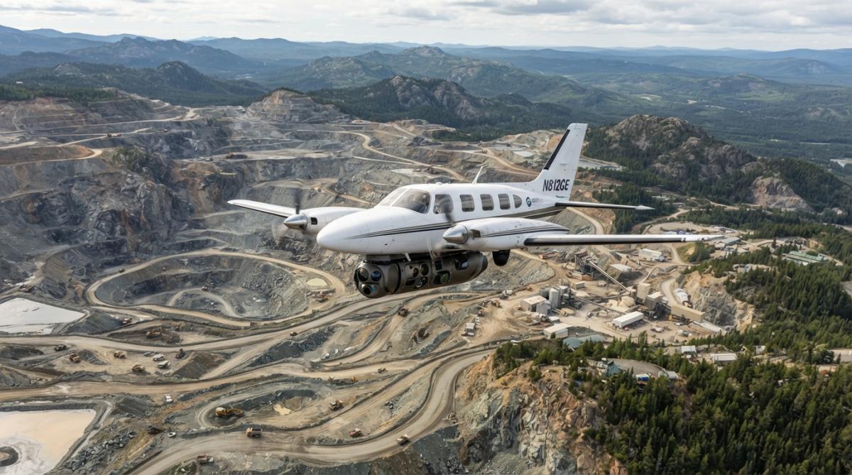
Aircraft integrate sophisticated sensors including LiDAR systems, large-format cameras, and medium-format imaging rigs. These sensors weigh 50-200 kg, far beyond drone capacity. The aircraft's endurance (4-8 hours) and payload capacity make sensor integration practical.
A survey team coordinates one flight, one data collection run, one landing sequence. Processing integrated LiDAR and imagery produces orthophotos, digital elevation models, and 3D point clouds in a single deliverable. The pilot navigates precise flight paths using GPS autopilot, ensuring consistent image overlap and data quality.
Manned aircraft operations fall under Part 91 general aviation rules rather than Part 107 commercial drone regulations. Pilots require commercial pilot certification and appropriate ratings. Operators need appropriate insurance and airspace coordination.
LiDAR and Advanced Sensor Integration
LiDAR technology generates point clouds, millions of individual elevation measurements, that create precise 3D models of terrain and structures. A LiDAR-equipped aircraft produces data that defines elevation to within 10-15 cm accuracy across thousands of acres, enabling volumetric calculations, structural analysis, and detailed topographic mapping impossible with optical imagery alone.
A typical airborne LiDAR system weighs 50-80 kg and requires 2-4 kW of continuous power. Drone platforms cannot accommodate these demands. Point cloud classification algorithms separate ground returns from vegetation, buildings, and infrastructure. Integration with multispectral or thermal sensors creates comprehensive intelligence packages. Utility companies use this combination to identify vegetation encroachment on power lines and thermal anomalies in electrical infrastructure.
Manned Helicopter Services for Complex Aerial Inspections
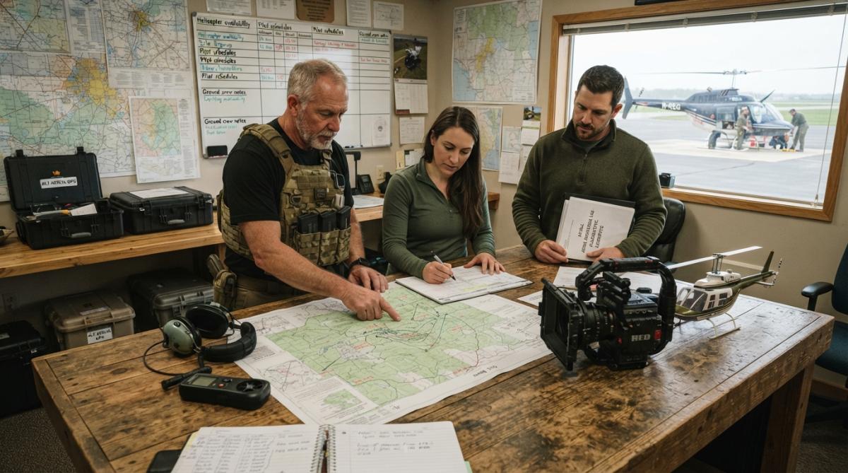
Helicopters occupy a unique operational space. They hover, move slowly, and access locations where fixed-wing aircraft cannot. For infrastructure inspection, complex cinematography, or work in confined environments, helicopter services deliver capabilities drones cannot match at scale.
A helicopter equipped with gyro-stabilized camera systems can maintain steady framing while hovering or moving slowly past a target. This enables detailed inspection footage of bridge structures, building facades, or industrial equipment. Hover capability creates operational advantages for specific applications. A drone hovers for 20-30 minutes. A helicopter hovers indefinitely, enabling extended observation, multiple camera angles, or coordination with ground teams. Search and rescue operations benefit from this endurance.
High-end real estate marketing increasingly uses aerial cinematography. A helicopter with professional camera systems captures property context, architectural detail, and surrounding environment in ways that static drone photography cannot. Cinematography work requires camera operators skilled in aerial composition. Helicopter platforms accommodate professional camera crews and equipment packages that exceed drone payload capacity.
Confined spaces present challenges for fixed-wing aircraft. A helicopter can access locations where runways don't exist. Urban environments, mountainous terrain, and disaster zones become accessible to helicopter operations. A search and rescue operation in mountainous terrain benefits from helicopter access to remote locations and the ability to hover while coordinating ground operations.
The trade-off is cost. Helicopter operations are expensive, typically $2,000-$5,000 per flight hour. That cost is justified for complex inspections, high-value cinematography, or search and rescue operations where the capability justifies the expense.
Cable Camera Systems and Telescopic Pole Solutions
Not every aerial application requires flight. Cable camera systems mount cameras on cables strung between two points, enabling smooth horizontal and vertical movement without powered flight. A telescopic pole extends a camera to 30-40 feet of height, providing elevated perspective without aircraft or drones.
These systems excel for event coverage, real estate photography, and confined-space inspection. Setup time is minimal. A cable system deploys in minutes. A telescopic pole extends and retracts in seconds. These solutions work in locations where aircraft cannot operate, indoors, near power lines, in urban canyons where airspace restrictions apply.
Cable systems and telescopic poles require no pilot certification, FAA authorization, or weather delays. A team sets up the equipment, captures footage, and moves to the next location. Real estate agents use telescopic poles to photograph property exteriors and surrounding context. Construction site documentation benefits from consistent, repeatable perspectives. A pole mounted at the same location each week captures project progress from an identical vantage point.
Tethered Aerostat Systems for Persistent Surveillance
An aerostat is a lighter-than-air platform, essentially a tethered balloon or blimp. It rises to a predetermined altitude (typically 500-1,500 meters) where it remains stationary, providing persistent overhead observation. The tether supplies power and data transmission while keeping the platform in fixed position.
Persistence is the defining characteristic. A tethered aerostat stays aloft indefinitely. Battery limitations don't apply. An aerostat can maintain surveillance over an event, disaster zone, or critical infrastructure site for days or weeks. Payload capacity exceeds most drones. A typical aerostat carries 20-50 kg of sensors, EO/IR cameras, radar systems, or specialized intelligence equipment.
The economics of persistence change operational planning. A drone provides 30-45 minutes of observation per flight. An aerostat provides continuous observation. For applications requiring sustained monitoring, search and rescue operations, event security, border patrol, the aerostat's endurance justifies its deployment cost.
Power delivery through the tether enables sensor packages that battery-powered drones cannot support. A radar system that consumes 500 watts continuously operates indefinitely on an aerostat. Construction projects benefit from persistent documentation. A tethered aerostat positioned over a job site captures time-lapse imagery showing progress day by day. Environmental monitoring applications, tracking flood progression, wildfire spread, or vegetation recovery, benefit from continuous observation.
High-Altitude Pseudo-Satellites (HAPS) and Hydrogen-Powered Solutions
High-Altitude Pseudo-Satellites (HAPS) are unmanned aircraft operating in the stratosphere, 60,000-90,000 feet above ground. These platforms combine aircraft endurance with satellite-like coverage, creating capabilities that occupy a unique operational space. Solar-electric propulsion enables continuous flight for weeks or months. Hydrogen-powered platforms represent an emerging alternative within this category, providing energy density superior to batteries and enabling longer endurance and heavier payloads.
Operating altitude creates advantages. At 80,000 feet, a HAPS platform observes an area 160+ km across. The altitude isolates the platform from weather, conventional air traffic, and ground-based threats. Optical sensors at this altitude provide resolution comparable to medium-altitude satellites but with lower latency and repositioning capability. HAPS platforms serve as communication relays, providing broadband connectivity to areas lacking ground infrastructure. Disaster response teams use HAPS to restore communications when ground networks fail.
The regulatory environment is evolving. HAPS operations require FAA and international coordination because they operate in airspace traditionally reserved for satellites and high-altitude aircraft. Military and government agencies lead HAPS deployment. Commercial applications are emerging but remain limited by regulatory uncertainty.
UAV Alternatives for Inspection in Extreme Conditions
Specialized drone platforms extend UAV capabilities into environments where standard drones fail. VTOL (vertical takeoff and landing) fixed-wing drones combine fixed-wing endurance with rotorcraft flexibility. These platforms take off vertically without runway requirements, then transition to fixed-wing flight for extended range and endurance. A VTOL platform covers 5-10 times more area than a multi-rotor drone while maintaining the flexibility to operate from confined spaces.
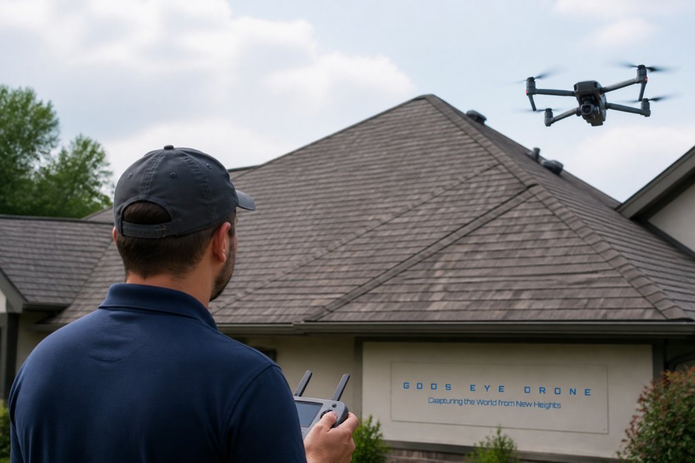
Thermal sensors integrated into specialized platforms enable inspection work in extreme conditions. A thermal-equipped VTOL drone inspects roof conditions without weather limitations that affect standard drones. Thermal imaging reveals heat loss, electrical faults, and structural issues invisible to optical cameras. A thermal-equipped drone inspects building envelopes, identifies energy waste, and documents electrical problems. Weather tolerance varies by platform. Specialized weatherproof platforms continue operating in conditions that disable standard equipment.
Integration with Gods Eye Drone's inspection services demonstrates how advanced platforms enable precise results. State-of-the-art thermal equipment mounted on specialized drones provides the detailed infrastructure inspection that critical applications require.
Powered Parachutes and Low-Altitude Observation
Powered parachutes offer an alternative for difficult environments. A powered parachute operates at 25-35 mph, slow enough for detailed observation. Altitude ranges from 500-1,500 feet, providing detailed ground perspective. The open-cockpit design provides unobstructed visibility and 360-degree awareness. Takeoff and landing require minimal space, sometimes less than 100 feet.
The regulatory environment is straightforward. Powered parachutes operate under Part 103 ultralight rules or Sport Pilot rules. No commercial pilot certification required. No airspace authorization needed for most operations. Powered parachutes excel at slow-speed observation work. A photographer or observer operates from the open cockpit, capturing detailed imagery of ground conditions. The slow speed and low altitude provide perspective that faster aircraft cannot match. Limitations are real: minimal payload capacity, 2-3 hour endurance, and poor weather tolerance. But for specific applications requiring slow-speed, low-altitude observation, powered parachutes deliver unique capabilities at low cost.
Safety and Liability Comparison Across Platforms
Risk profiles vary dramatically across platforms. A multi-rotor drone presents minimal risk. A manned helicopter presents significant risk, reflecting greater potential damage. Regulatory frameworks account for these differences.
Drone operations require Part 107 certification and liability insurance. Typical coverage is $1-2 million per incident. Manned aircraft operations require higher coverage, $5-10 million. Tethered aerostats require specialized insurance reflecting their unique operational characteristics. Insurance costs reflect risk. Drone operations add 15-25% to project costs in insurance and compliance overhead. Safety protocols differ by platform. Drones operate under established Part 107 procedures. Manned aircraft follow Part 91 general aviation rules. Aerostats operate under specialized protocols. Each platform has distinct safety requirements and training needs.
Choosing the right aerial platform depends on understanding your actual constraints. Coverage area, required endurance, payload capacity, regulatory environment, and timeline determine which platform delivers best results. Gods Eye Drone's expertise spans traditional drone services and the inspection capabilities that specialized platforms enable. State-of-the-art thermal equipment and certified pilots deliver precise results for real estate photography, infrastructure inspection, and search and rescue operations where detailed aerial intelligence matters most. When you need more than standard drone services can provide, the right alternative platform transforms what's possible. Get started with Gods Eye Drone and discover how advanced aerial capabilities solve problems that traditional approaches cannot address.
Frequently Asked Questions
What are the main advantages of extreme aerial alternatives to drone services for large-scale projects?
Extreme aerial alternatives like manned fixed-wing aircraft and tethered aerostats excel at large-scale coverage. Manned aircraft can operate at higher altitudes with advanced LiDAR and thermal sensors, covering vast areas efficiently without requiring numerous control points. Aerostats provide persistent surveillance for extended periods, up to 30 days or more, making them ideal for project tracking and site documentation. These platforms handle challenging weather better than drones and carry heavier payloads for specialized equipment.
How do cable camera systems and telescopic pole solutions compare to drone services for aerial photography?
Cable camera systems and telescopic poles offer cost-effective alternatives for low-altitude aerial photography without requiring FAA certification or flight operations. They eliminate regulatory compliance burdens and provide stable platforms for real estate photography and roof inspections. However, they're limited to lower altitudes and smaller coverage areas. These solutions work best for confined spaces and projects where you need steady, repeatable shots without weather delays that often affect drone deployment.
What regulatory compliance advantages do non-drone aerial alternatives offer?
Cable cameras, telescopic poles, and powered parachutes operate under different regulatory frameworks than FAA-regulated drones. Powered parachutes can be flown without a license as ultralights under 14 C.F.R. § 103, while cable systems face minimal airspace restrictions. Manned aircraft require pilot certification but operate in established aviation frameworks. This reduces the need for special airspace authorizations and waivers that commercial drone services require, streamlining project approval timelines.
How do hydrogen-powered and VTOL drone alternatives handle extreme environmental conditions?
High-Altitude Pseudo-Satellites (HAPS) like Airbus Zephyr operate in the stratosphere above weather systems, providing uninterrupted coverage in conditions that ground-based drones cannot tolerate. VTOL fixed-wing drones combine vertical takeoff flexibility with extended range and can carry thermal sensors for inspections regardless of wind. These platforms excel in remote locations, over water, and in areas with unpredictable weather, offering superior endurance compared to standard multi-rotor drones for continuous asset monitoring.
When should I choose a commercial drone service like Gods Eye Drone instead of extreme aerial alternatives?
Choose professional drone services for projects requiring flexibility, precision, and quick turnaround on smaller areas. FAA-certified pilots with state-of-the-art equipment like FLIR thermal cameras excel at detailed inspections, real estate photography, and search and rescue operations where precision and rapid deployment matter. Drones are more cost-effective for projects under 500 acres, offer faster data processing into orthophotos, and require minimal ground infrastructure, making them ideal when you need results quickly without extensive planning.
This article was written using GrandRanker