 how-to
How to Perform Drone Safety Inspections for Sites
Table of Contents
- Pre-Flight Site Assessment and Planning
- FAA Part 107 Drone Inspection Requirements
- Building Your Drone Site Inspection Checklist
- Visual Inspection vs. Sensor-Based Methods
- Thermal Drone Inspection Benefits for Risk Mitigation
- Data Collection, Processing, and Security Protocols
- Real-Time Monitoring and Integration with QA/QC
- Common Mistakes to Avoid During Site Inspections
- Frequently Asked Questions
Last Updated: September 4, 2026
A drone safety inspection systematically assesses structures, equipment, and terrain to identify hazards before they become costly failures. This guide walks through the complete process, from pre-flight planning to data delivery, so you can run inspections that are safe, compliant, and actionable.
Professional inspections demand preparation and protocol. The steps below will help you structure safe, compliant inspections for construction sites, cell towers, rooftops, and critical infrastructure while avoiding common pitfalls that compromise data quality.
Pre-Flight Site Assessment and Planning
Every reliable inspection starts on the ground, not in the air. A proper site assessment identifies physical hazards, restricted zones, and access limitations before the aircraft launches, which is why regulatory guidance emphasizes thorough pre-flight planning for all FAA sUAS operations.
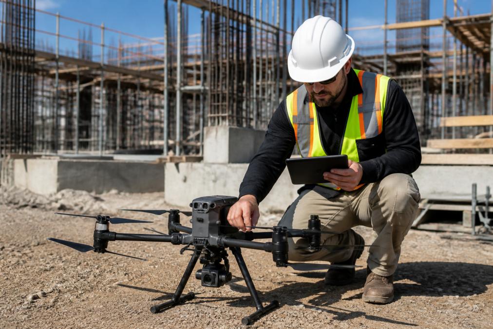
Walk the perimeter and note power lines, guy wires, cranes, and other vertical obstructions. Check for personnel at height, moving equipment, and public access points. Document structures that could block GPS signals or create wind turbulence.
Confirm the site meets visual line of sight requirements by identifying a launch point and observation position that provide clear sight lines throughout the mission.
FAA Part 107 Drone Inspection Requirements
Commercial drone inspections in the United States operate under FAA Part 107, which requires the remote pilot in command to hold a current Remote Pilot Certificate earned by passing an aeronautical knowledge test.
Part 107 imposes operational limits: flights must stay below 400 feet AGL, remain within visual line of sight, and yield to manned aircraft. Waivers are required for night flight or beyond visual line of sight operations.
For certain site types, additional certification applies. Inspecting critical infrastructure such as power plants or restricted airspace near airports may require a Certificate of Authorization or coordination with air traffic control. The FAA Part 107 waiver process outlines the application steps, which typically require demonstrating how you will maintain safety without the standard visual observer.
Building Your Drone Site Inspection Checklist
A standardized checklist keeps every mission consistent and defensible, providing documented proof that pre-flight checks, equipment verification, and procedures were followed.
Equipment and Payload Verification
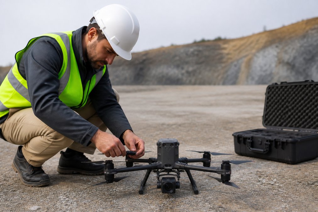
Verify firmware is current, battery cells are balanced, and the compass is calibrated away from metal. Confirm gimbal function and payload settings: thermal cameras need emissivity settings, photogrammetry missions need correct overlap parameters.
Flight Path Planning and Obstacle Avoidance
Plot the flight path using mission planning software before launch, defining the survey area, altitude, and overlap values. Treat onboard obstacle avoidance as a backup; the pilot remains responsible for collision avoidance.
Visual Inspection vs. Sensor-Based Methods
Visual inspection with RGB cameras documents visible cracks, corrosion, loose fasteners, and displacement. For routine assessments, 70-80 percent forward overlap and 60 percent side overlap is sufficient to identify problems and generate orthomosaics.
Sensor-based methods extend what the human eye can see, but each payload type serves a distinct purpose and carries different operational requirements.
Thermal Imaging detects heat signatures indicating failing electrical connections, moisture intrusion, insulation gaps, and equipment degradation. Thermal data requires radiometric calibration, emissivity corrections, and comparison against baseline readings. Thermal missions demand lower flight altitudes (100-150 feet) and are most effective during early morning or late evening when thermal contrast is highest.
Photogrammetry stitches overlapping images into orthomosaics and point clouds measurable with millimeter accuracy, essential for deformation analysis and BIM integration. It requires 80 percent forward and 70 percent side overlap. A 10-hectare survey generates 500-2,000 images requiring 4-8 hours of processing but produces a permanent record for detecting millimeter-scale movement.
LiDAR generates precise distance measurements and excels in dense vegetation, low-light, or repetitive-texture environments. LiDAR point clouds are denser than photogrammetry-derived clouds but payloads are heavier and more expensive ($15,000-$40,000). Use LiDAR for sub-10-centimeter accuracy in volumetric calculations or complex terrain.
Start with visual documentation to identify obvious defects. Deploy thermal for subsurface issues and electrical faults. Use photogrammetry for deformation tracking and BIM integration. Reserve LiDAR for high-precision volumetric work.
Thermal Drone Inspection Benefits for Risk Mitigation
Thermal inspection identifies problems before they become safety incidents. Overheating bearings, failing breakers, and trapped moisture produce distinct thermal signatures invisible to standard cameras.
Compare thermal readings against baseline data to distinguish routine heat patterns from actionable anomalies.
Data Collection, Processing, and Security Protocols
Establish a folder structure by date, site, and asset, and back up all data to redundant storage immediately after landing. Maintain separate directories for raw captures, processed outputs, and reports to trace analysis back to source data.
Processing and Workflow Integration
Photogrammetry software stitches overlapping images into orthomosaics and point clouds. Thermal data requires radiometric processing to extract temperature values and apply emissivity corrections. Processed outputs feed directly into project management systems, BIM platforms, or asset databases.
Data Security and Privacy Protocols
Aerial imagery reveals sensitive information about facility layouts and security systems. For critical infrastructure, data security is a regulatory and contractual requirement.
Establish clear protocols before the flight:
- Access Control: Restrict access to project team members with legitimate need and maintain an audit log.
- Transmission Security: Avoid public cloud services for sensitive sites. Use encrypted file transfer (SFTP or TLS 1.2+) and on-device processing. For cloud processing, use SOC 2 Type II certified services.
- Data Retention: Establish a retention schedule (10-30 years for infrastructure assets) and document it in writing.
- Encryption: Store data encrypted at rest using AES-256. Encrypt external drives and use end-to-end encryption for internet transmission.
- Personnel Training: Ensure all team members understand confidentiality requirements.
For critical infrastructure sites, coordinate with the site owner on data handling requirements before the flight. Some facilities prohibit imagery from leaving the site or require on-site processing only.
Integration with QA/QC and Project Systems
Real-time monitoring allows pilots and site engineers to identify issues immediately. Many enterprise platforms support live video streaming, letting QA/QC managers direct pilots to capture additional angles while airborne. Integrating data into inspection and test plans creates a structured record of asset condition over time, enabling deterioration tracking and maintenance scheduling.
Real-Time Monitoring and Integration with QA/QC
The value of a drone safety inspection multiplies when the data feeds directly into quality assurance and quality control workflows. Real-time monitoring during the flight allows the pilot and the site engineer to identify issues immediately, rather than discovering them days later during post-processing.
Many enterprise drone platforms support live video streaming to a ground station or remote tablet. This lets the QA/QC manager direct the pilot to capture additional angles on a suspicious area while the aircraft is still airborne. That immediate feedback loop reduces the need for repeat flights and ensures the inspection answers the specific questions the project team has raised.
Integrating inspection data into the project's inspection and test plan creates a structured record of asset condition over time. Each flight adds a dated data point that can be compared against previous inspections to track deterioration, verify repair work, and schedule maintenance. This historical record is one of the strongest arguments for regular drone inspection programs.
Common Mistakes to Avoid During Site Inspections
The most frequent error is treating the aircraft as a camera platform rather than a data collection system. Methodical, overlapping coverage is essential for measurement accuracy.
Weather decisions are another common failure point. Wind speed at ground level differs significantly from conditions at 200 feet, and gusts around structures create turbulence that degrades image stability. Set firm limits for wind, precipitation, and visibility before launch, and be willing to abort when conditions shift. The FAA guidelines on weather minimums provide baseline thresholds, though site-specific conditions may require stricter limits.
Every mission needs a defined abort plan: where the aircraft lands if connection is lost, how the pilot responds to manned aircraft, and how the team handles low-battery warnings. Practice these scenarios on the ground.
Running a drone safety inspection program well demands certified pilots, the right sensor payloads, and disciplined data handling. Gods Eye Drone brings veteran-led expertise to infrastructure inspections, combining state-of-the-art technology including advanced FLIR thermal equipment with certified pilots who understand the regulatory environment. Whether you need to assess a construction site, verify critical infrastructure, or establish a recurring inspection schedule, our team delivers precise aerial intelligence you can act on. Book your inspection with Gods Eye Drone and get the higher perspective your project deserves.
Frequently Asked Questions
What are the FAA Part 107 drone inspection requirements for commercial operations?
Commercial drone operations require FAA Part 107 certification for the remote pilot in command. You must pass an aeronautical knowledge test, maintain visual line of sight during flight operations, keep the unmanned aircraft system below 400 feet, and follow all local airspace restrictions. Additionally, you must file a Part 107 waiver for any operations beyond standard visual line of sight or in controlled airspace. Weather conditions, flight path planning, and safety protocols must all comply with FAA regulations.
What should be included in a drone site inspection checklist?
A comprehensive drone site inspection checklist includes pre-flight equipment verification (battery charge, propeller condition, sensor calibration), weather assessment, airspace review, flight path planning with obstacle avoidance routes, payload and thermal imaging equipment checks, data storage capacity, communication systems, emergency abort procedures, and safety monitor assignment. Post-flight, document all findings, verify data integrity, and ensure cybersecurity protocols are followed for sensitive site information.
What are the main thermal drone inspection benefits for construction sites?
Thermal imaging drones detect temperature variations and structural issues invisible to standard visual inspection. They identify electrical hotspots, moisture intrusion, roof defects, and equipment failures before they become critical safety hazards. For construction sites, thermal drone inspections enable faster hazard identification, reduce the need for manual inspections at height, support predictive maintenance scheduling, and provide geospatial data that integrates with project documentation. This risk mitigation approach improves site safety and reduces costly downtime.
How do you ensure data privacy and cybersecurity during drone site monitoring?
Protect sensitive site data by encrypting all telemetry and aerial imagery during transmission and storage. Use secure cloud platforms with access controls, implement data retention policies, and ensure only authorized personnel access inspection results. When working on critical infrastructure or private property, establish clear data sharing agreements and comply with local privacy regulations. Store raw footage separately from processed deliverables, use password-protected systems, and maintain audit logs for all data access.
This article was written using GrandRanker
Frequently Asked Questions
Q: What are the FAA Part 107 drone inspection requirements for commercial operations?
A: Commercial drone operations require FAA Part 107 certification for the remote pilot in command. You must pass an aeronautical knowledge test, maintain visual line of sight during flight operations, keep the unmanned aircraft system below 400 feet, and follow all local airspace restrictions. Additionally, you must file a Part 107 waiver for any operations beyond standard visual line of sight or in controlled airspace. Weather conditions, flight path planning, and safety protocols must all comply with FAA regulations.
Q: What should be included in a drone site inspection checklist?
A: A comprehensive drone site inspection checklist includes pre-flight equipment verification (battery charge, propeller condition, sensor calibration), weather assessment, airspace review, flight path planning with obstacle avoidance routes, payload and thermal imaging equipment checks, data storage capacity, communication systems, emergency abort procedures, and safety monitor assignment. Post-flight, document all findings, verify data integrity, and ensure cybersecurity protocols are followed for sensitive site information.
Q: What are the main thermal drone inspection benefits for construction sites?
A: Thermal imaging drones detect temperature variations and structural issues invisible to standard visual inspection. They identify electrical hotspots, moisture intrusion, roof defects, and equipment failures before they become critical safety hazards. For construction sites, thermal drone inspections enable faster hazard identification, reduce the need for manual inspections at height, support predictive maintenance scheduling, and provide geospatial data that integrates with project documentation. This risk mitigation approach improves site safety and reduces costly downtime.
Q: How do you ensure data privacy and cybersecurity during drone site monitoring?
A: Protect sensitive site data by encrypting all telemetry and aerial imagery during transmission and storage. Use secure cloud platforms with access controls, implement data retention policies, and ensure only authorized personnel access inspection results. When working on critical infrastructure or private property, establish clear data sharing agreements and comply with local privacy regulations. Store raw footage separately from processed deliverables, use password-protected systems, and maintain audit logs for all data access.