 how-to
Agricultural Drone Mapping Cost: A 2026 Guide
Table of Contents
- What Agricultural Drone Mapping Costs Include
- Drone Mapping Cost Per Acre Breakdown
- Hardware, Software, and Operational Expenses
- ROI of Drone Mapping for Small Farms
- In-House vs. Hiring Professional Drone Mapping Services
- Factors That Influence Your Total Mapping Price
- How to Get Accurate Quotes and Avoid Cost Surprises
- Frequently Asked Questions
Last Updated: September 2, 2026
What Agricultural Drone Mapping Costs Include
Agricultural drone mapping cost encompasses far more than the price of flying a drone over your fields. The true cost breaks down into fixed expenses (equipment, certifications, insurance) and variable expenses (per-acre fees, data processing, cloud storage subscriptions). Understanding this distinction is critical because it determines whether you should invest in in-house mapping capabilities or hire a professional service provider.
Raw data from a single flight can easily exceed several gigabytes and requires processing, georeferencing, and secure storage. These backend costs often surprise farm managers who assumed the drone flight was the entire expense.
Drone Mapping Cost Per Acre Breakdown
Per-acre costs for agricultural drone mapping vary significantly based on field complexity, sensor requirements, and whether you use in-house equipment or hire a professional service. Fixed costs include certified pilots and regulatory compliance; variable costs scale with acreage and complexity.
Fixed Costs vs. Per-Acre Pricing Models
Professional drone mapping services typically operate on two pricing models: fixed project fees or per-acre pricing. Fixed project fees work best for smaller operations or one-time mapping needs, protecting you from surprise costs if your field is larger than expected. Per-acre pricing scales with field size and typically decreases as acreage increases, rewarding scale and aligning costs with actual work performed.
Many professional operators structure pricing around your specific requirements: sensor type, data processing complexity, and delivery timeline all influence the final quote. The variable rate application you're planning and the agronomic insights you need drive which sensors get deployed, directly impacting cost.
How Field Size Affects Total Cost
Field size has a non-linear relationship with mapping cost. Survey mobilization, pre-flight planning, and establishing flight parameters cost the same whether you're mapping 10 acres or 100 acres. A 50-acre field and a 100-acre field don't differ proportionally in flight time, 50 acres might take 45 minutes; 100 acres might take 75 minutes.
Data processing and cloud storage scale with field size, but not linearly. Processing costs more for larger acreage, but per-acre cost drops significantly at scale. Turnaround time becomes a hidden cost variable at larger field sizes; rush processing for 500 acres within 48 hours carries a premium compared to 7-day delivery.
Hardware, Software, and Operational Expenses
The equipment required for agricultural drone mapping divides into three categories: the drone platform itself, the sensor payload, and the ground control infrastructure.
Equipment Investment and Maintenance
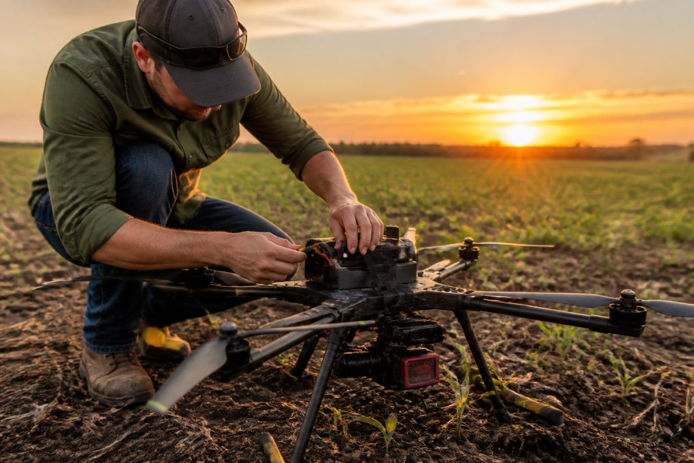
A capable multirotor drone platform for agricultural mapping represents a meaningful investment. Fixed-wing platforms, which cover larger areas with greater flight endurance, cost more but deliver better economics for large acreage operations. Multispectral sensors, the specialized imaging systems that capture crop health data beyond what RGB cameras provide, represent the largest single equipment expense after the drone itself.
Battery cycles accumulate costs rapidly. A multirotor drone conducting agricultural surveys might consume 4-6 battery packs per day of mapping work. Planning for battery replacement every 200-300 cycles means continuous capital expenditure throughout the season. Maintenance and repairs are predictable but often underestimated: propellers break, motors wear, gimbals require recalibration. Professional service providers build these costs into their pricing; DIY operators often discover maintenance costs exceed initial projections.
Data Processing, Cloud Storage, and Subscriptions
Raw data from a single agricultural survey flight requires processing into orthomosaic maps, georeferencing to real-world coordinates, and analysis to generate actionable agronomic insights. Cloud-based processing platforms charge subscription fees that typically run monthly and scale with storage volume and processing requests.
Cloud storage itself is a recurring cost. A single season of mapping for a large operation can generate terabytes of data. Maintaining accessible archives for multi-year trend analysis requires substantial storage capacity. Data processing turnaround time directly correlates with cost; batch processing costs less than rush processing with 24-48 hour results.
Pilot Certification, Insurance, and Regulatory Overhead
Operating a commercial drone legally requires Part 107 certification from the FAA (faa.gov). Commercial drone liability insurance is non-negotiable for any professional operation and protects against property damage, bodily injury, and cyber liability. A DIY operator must obtain insurance independently, adding another fixed annual cost.
Regulatory compliance extends beyond pilot certification. Some states require additional permitting for agricultural surveys. Understanding and maintaining compliance with evolving regulations requires ongoing attention and sometimes legal consultation.
ROI of Drone Mapping for Small Farms
The return on investment from agricultural drone mapping depends entirely on how you use the data. Data that drives precision agriculture decisions generates measurable returns; a beautiful orthomosaic has zero ROI.
Yield Optimization and Variable Rate Application
Precision agriculture fundamentally changes how inputs are applied. Instead of spreading fertilizer uniformly across a field, variable rate application targets specific zones based on soil conditions, previous yield data, and current crop health monitoring. Multispectral imagery reveals spatial variability in crop health that uniform application strategies miss.
If drone mapping data enables you to reduce fertilizer application by 10-15% while maintaining or improving yield, the cost savings alone often exceed the mapping expense (peer-reviewed research). Early detection of pest pressure, disease progression, or water stress allows intervention before losses become catastrophic.
Water and Input Savings
Multispectral imagery reveals which field zones are water-stressed and which have adequate soil moisture, enabling precision irrigation scheduling. Water savings from precision irrigation often exceed 15-20% for operations in water-limited regions (usda.gov). Combined with reduced energy costs from operating irrigation equipment less frequently, the financial benefit accumulates quickly.
Input savings extend beyond fertilizer and water. Herbicide and pesticide applications guided by drone-based crop health monitoring reduce chemical use while improving efficacy.
In-House vs. Hiring Professional Drone Mapping Services
The decision between building in-house drone mapping capability and hiring professional services hinges on operation scale, capital availability, and complexity tolerance.
DIY Drone Mapping: True Costs Beyond Equipment
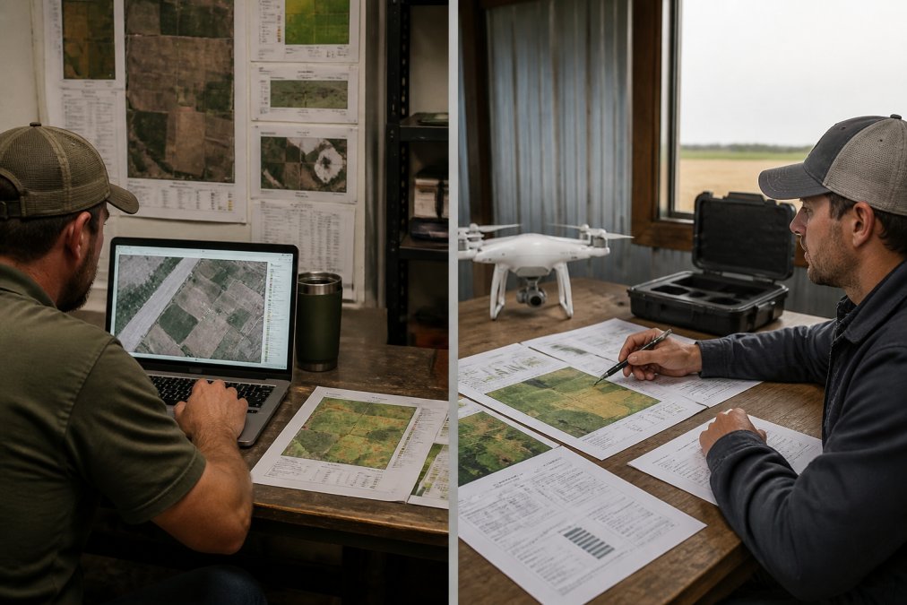
Building in-house capability requires pilot certification, flight planning software, data processing platforms, cloud storage subscriptions, and insurance. Each flight requires 2-4 hours of preparation and execution; a single season of regular monitoring means dozens of flights.
Data processing expertise is underestimated. Raw drone imagery doesn't become actionable insight automatically. You need to understand georeferencing, vegetation indices, and how to interpret multispectral data in the context of your specific crops and soil conditions. Equipment depreciation accelerates costs; planning for equipment replacement every 3-4 years spreads significant capital across your operation's timeline.
Why Professional Services Often Cost Less Than DIY
A professional service provider spreads fixed costs across multiple clients. You pay only for the specific work performed on your fields, not for the entire infrastructure required to deliver it. Professional operators have optimized workflows and proven interpretation methodologies. What takes a DIY operator 40 hours of learning takes a professional 4 hours because they've already solved the problem dozens of times.
Data quality and reliability are professional-grade. Certified pilots understand airspace regulations, weather dynamics, and safety protocols. Professional equipment is calibrated, maintained, and replaced on schedule. When you hire a professional, you're buying reliability and expertise, not just drone flights.
For most small to mid-sized agricultural operations, professional services deliver better economics than in-house capability when you account for the true total cost of ownership.
Factors That Influence Your Total Mapping Price
Several variables significantly impact the final cost of agricultural drone mapping, independent of field size.
Sensor Type and Multispectral Imaging Requirements
RGB imagery costs less than multispectral imaging. A basic orthomosaic from RGB data is useful for field visualization but doesn't provide crop health analysis. Multispectral sensors capture data in specific wavelength bands that reveal vegetation health, water stress, and pest pressure. The more spectral bands captured, the more sophisticated the analysis possible, but costs increase proportionally.
Thermal imaging adds another layer of cost and capability. FLIR sensors detect heat signatures, revealing irrigation issues and equipment problems. Matching sensor capability to actual information needs prevents overspending on capabilities you won't use.
Turnaround Time and Seasonal Demand
Standard processing turnaround of 5-7 business days costs less than rush processing. If you need data within 48 hours for a critical decision window, expect to pay a premium. During peak growing season (May through August), professional drone services are busiest. Scheduling mapping during shoulder seasons (April, September) often yields better pricing and faster turnaround.
Regional Pricing Variance and Hidden Costs
Geographic location influences pricing. Rural areas with fewer professional service providers may have higher prices. Travel costs for service providers matter; if an operator must travel 2+ hours to reach your fields, mobilization costs increase. Some states require additional permits beyond federal FAA requirements, adding complexity that operators price into their services.
How to Get Accurate Quotes and Avoid Cost Surprises
When requesting quotes for agricultural drone mapping, specificity prevents misunderstandings. Specify your exact mapping needs: field size in acres, sensor requirements (RGB vs. multispectral), required ground sampling distance, and desired turnaround time.
Ask explicitly what's included in the quoted price. Does it cover flight operations only, or does it include data processing? Are multiple processing options included, or do advanced analyses cost extra? Is cloud storage included for a specific period?
Request references from operations similar to yours in size and crop type. Understand the payment structure and ask about contingencies. What happens if weather prevents the scheduled flight? Professional services should have clear contingency protocols. Get everything in writing to prevent misalignment between expectations and delivery.
The cost of agricultural drone mapping varies dramatically based on operation scale, sensor requirements, and whether you build in-house capability or hire professional services. For most agricultural operations, professional drone mapping services deliver better economics than DIY approaches when you account for the true total cost of ownership.
Gods Eye Drone brings veteran expertise and certified pilots to agricultural mapping projects across the region. With state-of-the-art multispectral and thermal imaging equipment, we deliver the precision crop health monitoring and field analytics your operation needs to optimize inputs and improve yields. Book Now to discuss your specific mapping requirements and get an accurate quote tailored to your operation's needs.
Frequently Asked Questions
Q: How much does agricultural drone mapping cost per acre?
A: Agricultural drone mapping cost per acre depends on field size, sensor type, and whether you use a professional service or DIY approach. Smaller fields typically cost more per acre due to fixed mobilization costs. Professional services usually range based on acreage, complexity, and data processing requirements. Contact a certified drone mapping provider for a detailed quote tailored to your specific field conditions and mapping objectives.
Q: What is the ROI of drone mapping for small farms?
A: ROI of drone mapping for small farms comes from precision agriculture benefits: reduced water usage, optimized fertilizer application, early pest detection, and improved yield. Many farms see payback within one to three growing seasons through variable rate application and better crop health monitoring. The actual return depends on crop type, field size, and how thoroughly you implement agronomic insights from the multispectral data.
Q: Is it cheaper to buy drone equipment or hire professional drone mapping services?
A: For most small to mid-size operations, hiring professional drone mapping services is more cost-effective than buying equipment. Equipment costs include the drone, multispectral sensors, software subscriptions, data processing tools, pilot certification, insurance, and maintenance. Professionals spread these fixed costs across many clients. If you map fewer than 500 acres annually, professional services typically offer better value and eliminate operational overhead.
Q: What factors influence the total price of drone mapping?
A: Key cost factors include field size and acreage, sensor type (standard RGB vs. multispectral), turnaround time, regional availability, data processing complexity, cloud storage needs, and orthomosaic or prescription map requirements. Weather delays, flight planning complexity, and survey mobilization distance also affect pricing. Ground sampling distance and point cloud density specifications can increase costs. Request a detailed breakdown from your service provider to understand all cost components.
This article was written using GrandRanker